Alum Cove Natural Bridge Arkansas

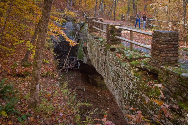
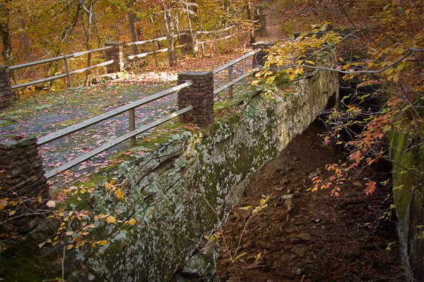
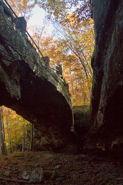
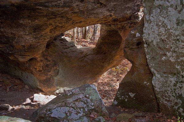
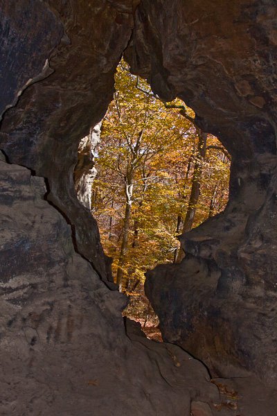
Outstanding among the many natural features of the Ozark Natural Forest is the huge stone arch that forms a natural bridge at Alum Cove National Recreation Trail. The natural arch is all that remains of what was a quartz sandstone cave. The arch is 130 feet long and 20 feet wide. The weathering process of wind, rain and ice formed the opening between the arch and the rock overhang. The Alum Cove Natural Bridge Recreation Area is designed primarily for visitors to be close nature.
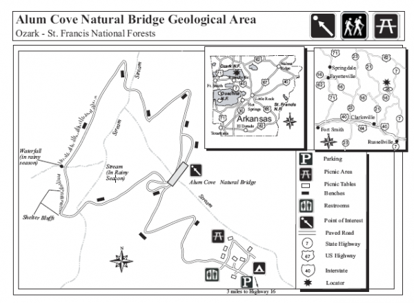
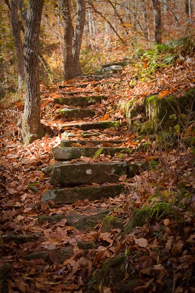
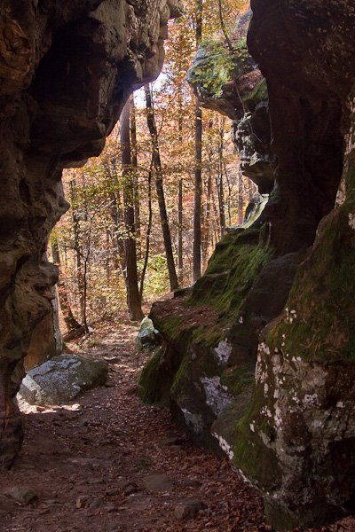
The Alum Cove National Recreation Trail wanders past the natural arch, across a small stream and to the bluff line with overhangs, the entire trail is 1.1 miles long
Alum Cove Natural Bridge
Description:
Outstanding among the many natural features of the Ozark Natural Forest is the huge stone arch that forms a natural bridge at Alum Cove National Recreation Trail. The natural arch is all that remains of what was a quartz sandstone cave. The arch is 130 feet long and 20 feet wide. The weathering process of wind, rain and ice formed the opening between the arch and the rock overhang. The Alum Cove Natural Bridge Recreation Area is designed primarily for visitors to be close nature.
The Alum Cove National Recreation Trail wanders past the natural arch, across a small stream and to the bluff line with overhangs, the entire trail is 1.1 miles long
Cost:
$ 3.00 per vehicle, per day
Best Time to Visit:
The best time for great photos is in the spring with wildflowers blooming and flowerring dogwoods and redbud trees, or in the fall when the forrests turn to their many shades of red and gold.
Where it is:
Ozark National Forest – Arkansas – USA
Alum Cove Natural Bridge Recreation Area is in Newton County, Arkansas. It has an elevation of 2,177 feet.
GPS:
Degrees Minutes Seconds:
Latitude: 355136N
Longitude: 0931352WDecimal Degrees:
Latitude: 35.86
Longitude: -93.23111
Directions:
Alum Cove National Recreation Trail is located near the community of Deer, Arkansas, west of the intersection of Arkansas buy alprazolam tablets State Highways 7 and 16. Signs at intersection and on Highway 16 give directions to the Natural Bridge Area.
Map:
Links:
Alum Cove National Recreation Trail
Tips for the Photographer
Equipment:
You will want to bring a wide angle lens, this is a heavily wooded area and you have to shoot from up close. You may also wish to bring a Macro lens for closeups of wildflowers, insects, and all the other cool things in the forrest.
What to Photograph:
The Natural Bridge, the rock formations and caves on the side of the bluff. In spring and summer wildflowers, in fall the fabulous folage.
Photography Tips:
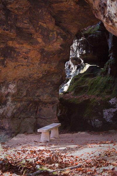
When shooting the caves and window openings in the rocks, there will be a great deal of contrast in the scene from the bright background to the dark area in the cave. Using a flash to fill the dark cave will give a good exposure.
Alum Cove National Recreation Trail Photo Gallery
Click Here for full page gallery
More Photographic Destinations in Arkansas:
Interactive Google Map
Use the map + – controls to zoom in and out, use the Map drop-down to change to “Map”, “Satellite”, “Hybrid”, or “Terrain” views. Drag the little man icon from the upper left corner to a map location for street level view. Click on a pushpin for more information about the Photographic Destination, then click on the title to go to the location page.
Click Here for Photographic Destinations by State
Interesting looking place! I’ve never heard of it!