Great Places for Great Photos
Let me help you to find a great location for your next photography adventure. I will list many lesser known destinations, as well as the famous “Icon Locations” for photography. I will provide photos (Lots of Photos), location information, consisting of what there is to photograph as well as other information about the destination. I will give costs, maps, directions, contact information, and other essential information for a successful photo trip. I will only post for locations that I have personally photographed to insure a quality guide to great locations for photography.
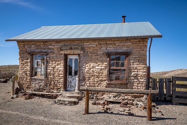
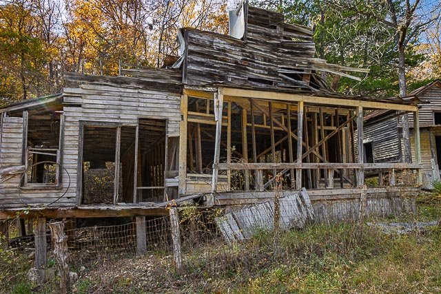
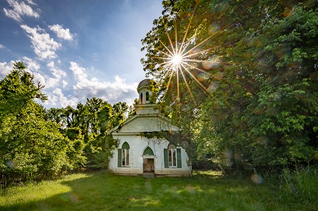
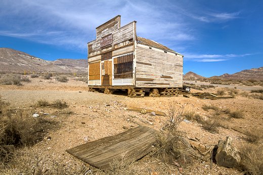
Ghost Towns Photographic Destinations
A ghost town or alternatively deserted city or abandoned city is an abandoned village, town, or city, usually one that contains substantial visible remaining buildings and infrastructure such as roads. A town often becomes a ghost town because the economic activity that supported it (usually industrial or agricultural) has failed, or due to natural or human-caused disasters such as floods, prolonged droughts, government actions, uncontrolled lawlessness, war, pollution, or nuclear disasters. The term can sometimes refer to cities, towns, and neighborhoods that are still populated, but significantly less so than in past years; for example, those affected by high levels of unemployment and dereliction.
- Rush Ghost Town
- Yeso Ghost Town
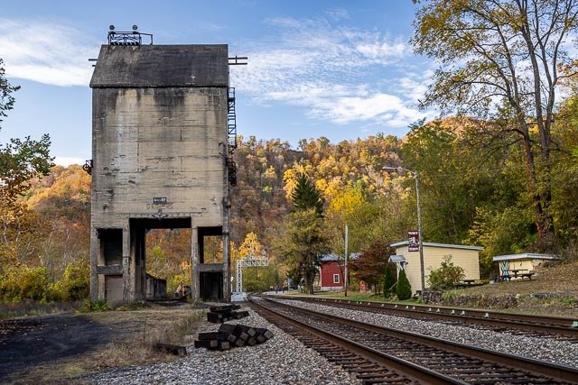
- Thurmond Historic District
- Ryus Kansas Abandoned Carbon Black Plant
- Fairbank Ghost Town
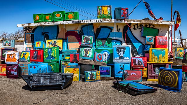
- Bombay Beach
- Castle Dome City Ghost Town
- Ruby Ghost Town
- Shakespeare Ghost Town
- Texola Ghost Town
- Alta Ghost Town
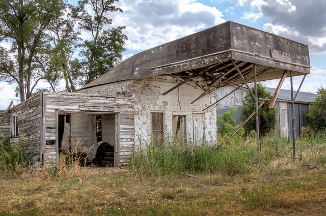
- Glenrio Ghost Town
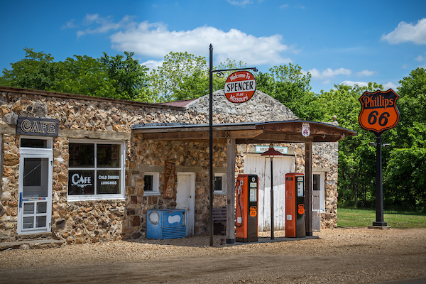
- Spencer Ghost Town
- Ute Ulay Mine and Henson Town Site
- Terlingua Ghost Town
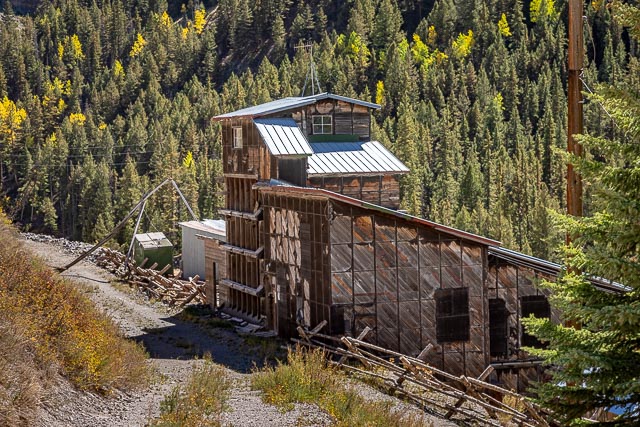
- Animas Forks Ghost Town
- Ironton Ghost Town
- Rodney Mississippi – Ghost Town
- Red Mountain Mining District
- Garnet Ghost Town Montana
- Rhyolite Nevada, Ghost Town
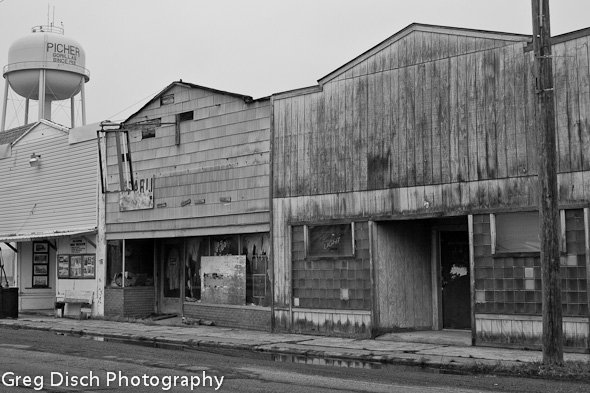
- Picher Oklahoma – Birth of a Ghost Town
- Chloride Arizona -Ghost Town and More!
Interactive Google Map
Use the map + – controls to zoom in and out, use the Map drop-down to change to “Map”, “Satellite”, “Hybrid”, or “Terrain” views. Drag the little man icon from the upper left corner to a map location for street level view. Click on a pushpin for more information about the Photographic Destination, then click on the title to go to the location page.