Great Places for Great Photos
Let me help you to find a great location for your next photography adventure. I will list many lesser known destinations, as well as the famous “Icon Locations” for photography. I will provide photos (Lots of Photos), location information, consisting of what there is to photograph as well as other information about the destination. I will give costs, maps, directions, contact information, and other essential information for a successful photo trip. I will only post for locations that I have personally photographed to insure a quality guide to great locations for photography.
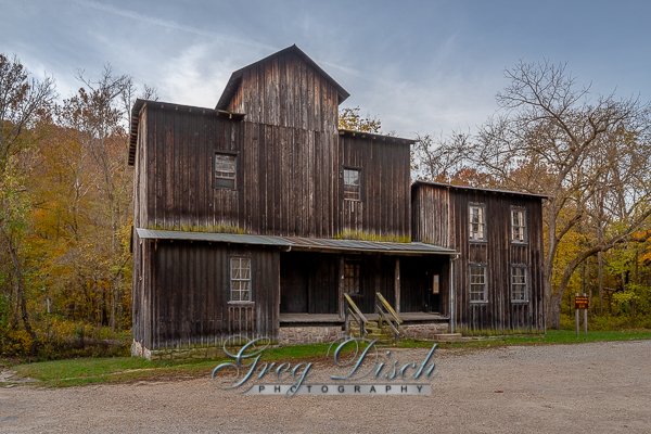
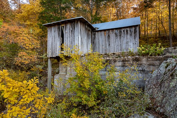
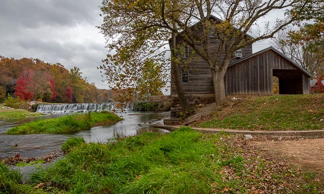
Water Mills Photographic Destinations
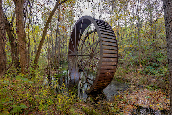
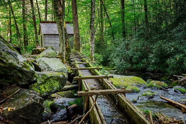
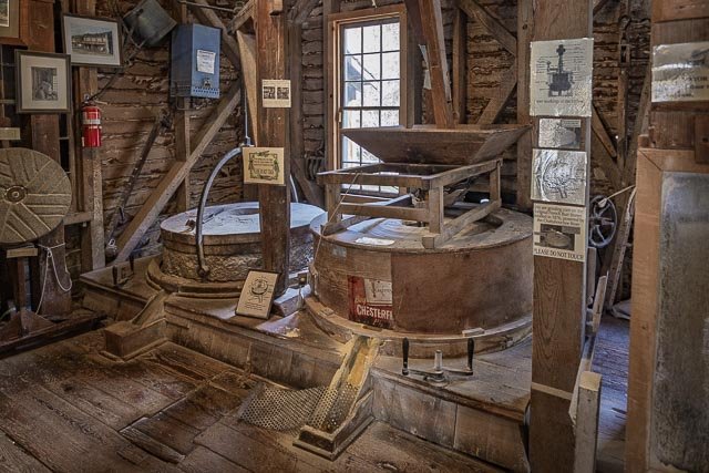
A watermill or water mill is a mill that uses hydropower. It is a structure that uses a water wheel or water turbine to drive a mechanical process such as milling (grinding), rolling, or hammering. Such processes are needed in the production of many material goods, including flour, lumber, paper, textiles, and many metal products. These watermills may comprise gristmills, sawmills, paper mills, textile mills, hammermills, trip hammering mills, rolling mills, wire drawing mills.
One major way to classify watermills is by wheel orientation (vertical or horizontal), one powered by a vertical waterwheel through a gear mechanism, and the other equipped with a horizontal waterwheel without such a mechanism. The former type can be further divided, depending on where the water hits the wheel paddles, into undershot, overshot, breastshot and pitchback (backshot or reverse shot) waterwheel mills.
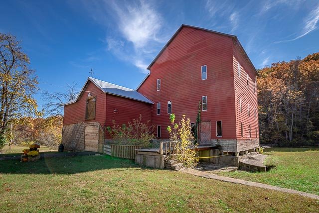
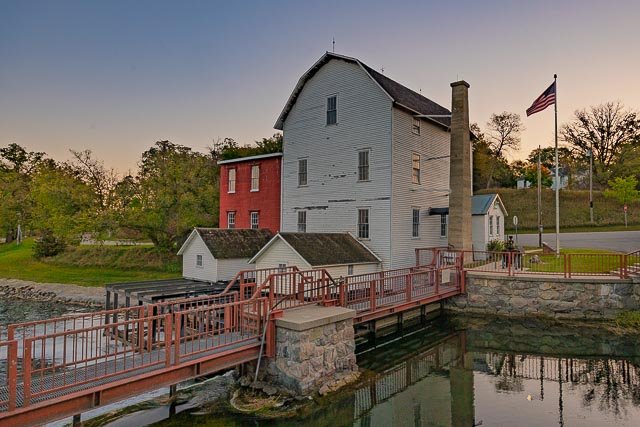
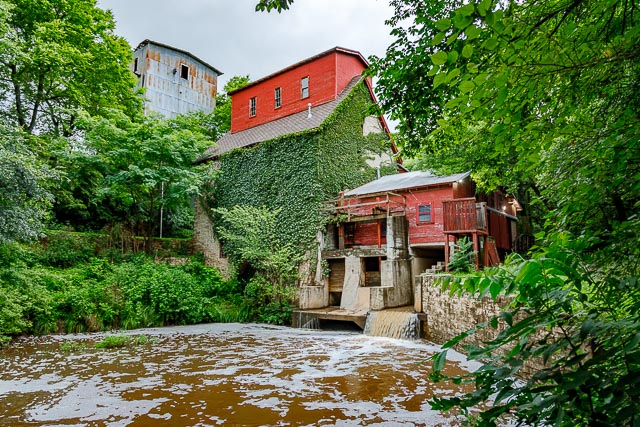
- Phelps Mill
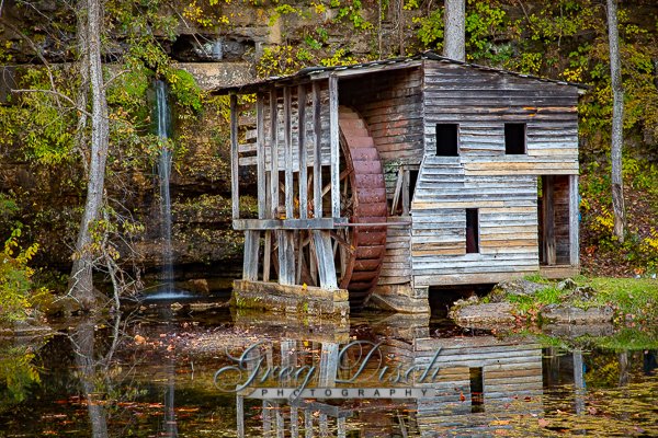
- Nora Grist Mill
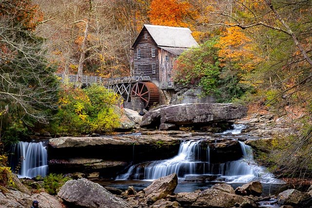
- Glade Creek Grist Mill
- Kymulga Mill and Covered Bridge
- Reagan Mill Great Smoky Mountains National Park
- Jolly Mill
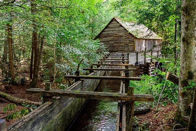
- Cable Mill Great Smoky Mountains National Park
- Mingus Mill Great Smoky Mountain National Park
- Old Oxford Mill
- Rockbridge Mill
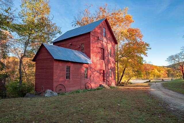
- Turner’s Mill
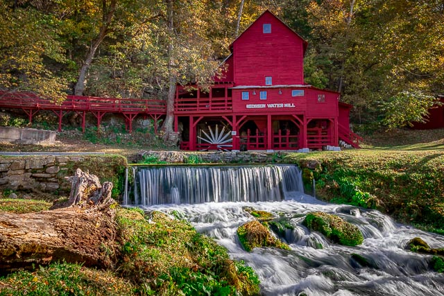
- Topaz Mill
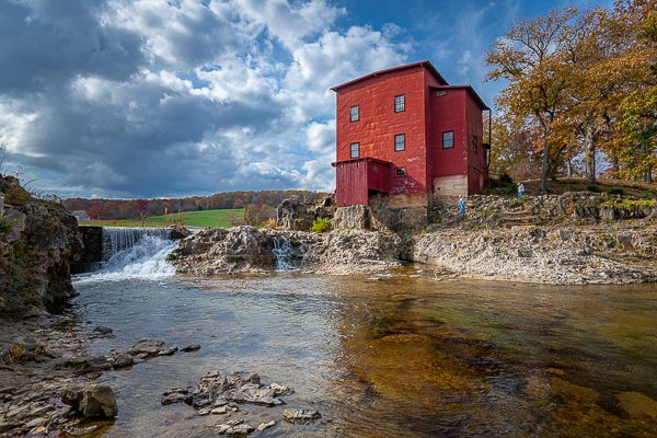
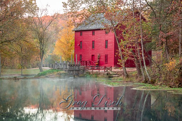
- Hodgson Water Mill
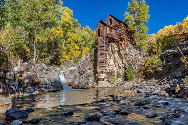
- Crystal Mill
- Paydown Mill
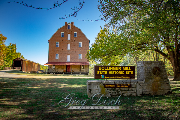
- Bollinger Mill State Historic Site
- Dillard Mill State Historic Site
- Star’s Mill
- Boxley Mill
- Klepzig MIll
- Montauk Mill
- Falling Spring Mill
- Alley Spring Mill
- Drinkwater & Schriver Mill Cedar Point Kansas
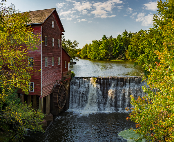
- Dells Mill
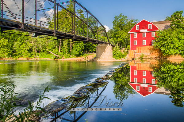
- War Eagle Mill and Bridge
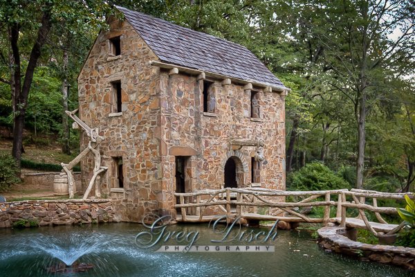
- The Old Mill
Interactive Google Map
Use the map + – controls to zoom in and out, use the Map drop-down to change to “Map”, “Satellite”, “Hybrid”, or “Terrain” views. Drag the little man icon from the upper left corner to a map location for street level view. Click on a pushpin for more information about the Photographic Destination, then click on the title to go to the location page.