Great Places for Great Photos
Let me help you to find a great location for your next photography adventure. I will list many lesser known destinations, as well as the famous “Icon Locations” for photography. I will provide photos (Lots of Photos), location information, consisting of what there is to photograph as well as other information about the destination. I will give costs, maps, directions, contact information, and other essential information for a successful photo trip. I will only post for locations that I have personally photographed to insure a quality guide to great locations for photography.
Lighthouse Photographic Destinations
A lighthouse is a tower, building, or another type of structure designed to emit light from a system of lamps and lenses and to serve as a navigational aid for maritime pilots at sea or on inland waterways.
Lighthouses mark dangerous coastlines, hazardous shoals, reefs, rocks, and safe entries to harbors; they also assist in aerial navigation. Once widely used, the number of operational lighthouses has declined due to the expense of maintenance and has become uneconomical since the advent of cheaper and often much more effective electronic navigational systems.
The modern era of lighthouses began at the turn of the 18th century, as lighthouse construction boomed in lockstep with burgeoning levels of transatlantic commerce. Advances in structural engineering and new and efficient lighting equipment allowed for the creation of larger and more powerful lighthouses, including ones exposed to the sea. The function of lighthouses shifted toward the provision of a visible warning against shipping hazards, such as rocks or reefs.
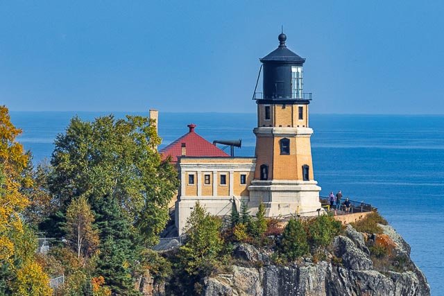
- Split Rock Lighthouse
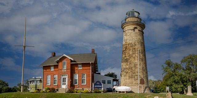
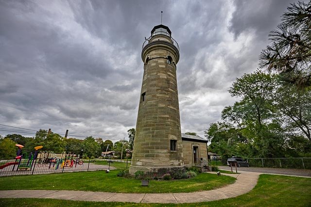
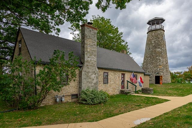
- Thirty Mile Point Lighthouse
- Sodus Point Lighthouse
- Fort Niagara Lighthouse
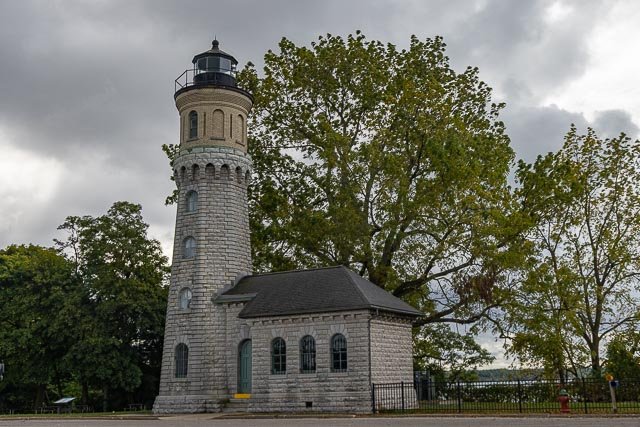
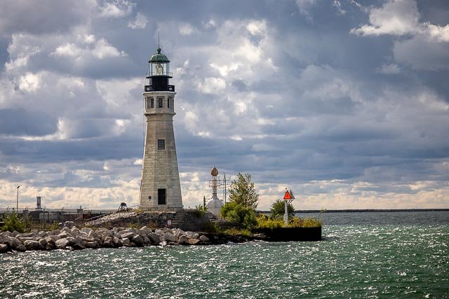
- Buffalo Main Lighthouse
- Barcelona Lighthouse
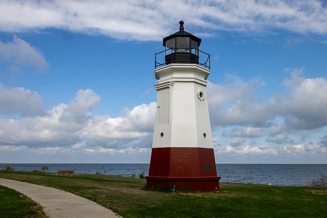
- Vermillion Lighthouse
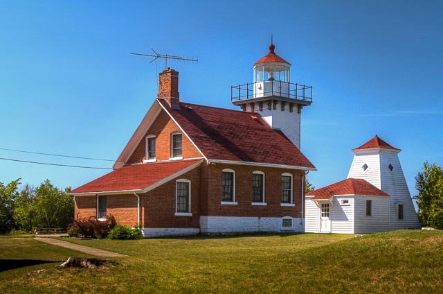
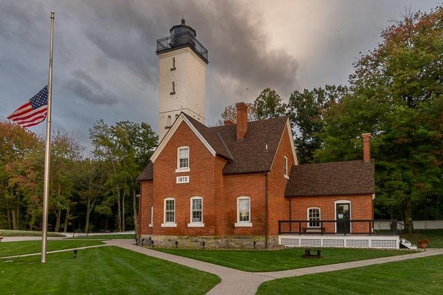
- Presque Isle Lighthouse
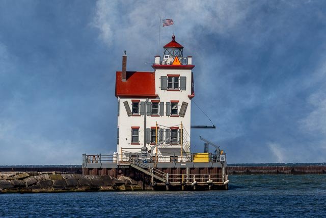
- Lorain Harbor Lighthouse
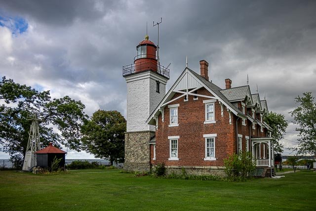
- Fairport Harbor Lighthouse
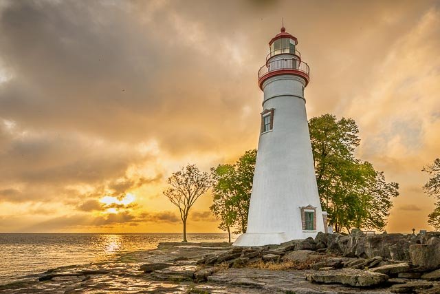
- Marblehead Lighthouse
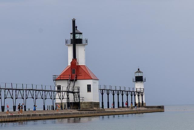
- St. Joseph Pier Lighthouse
- Michigan City Lighthouse
- Huron Harbor Lighthouse
- Charlotte Genesee Lighthouse
- Erie Land Lighthouse
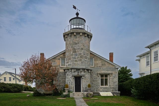
- Stonington Lighthouse
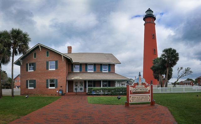
- Ponce Inlet Lighthouse
- Dunkirk Lighthouse
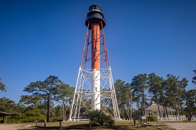
- Sabine Pass Lighthouse
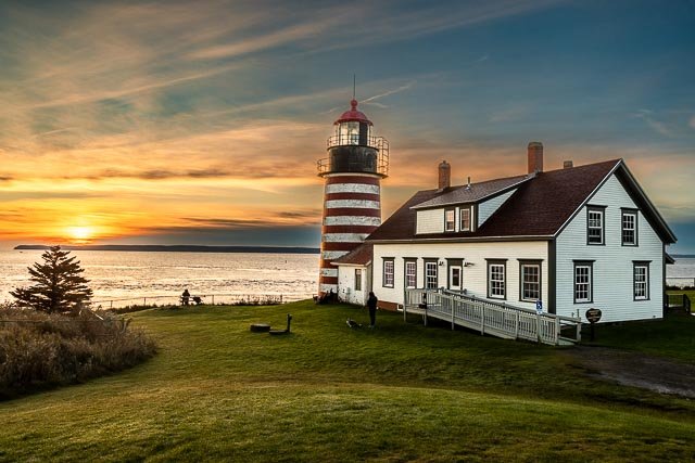
- West Quoddy Head Lighthouse
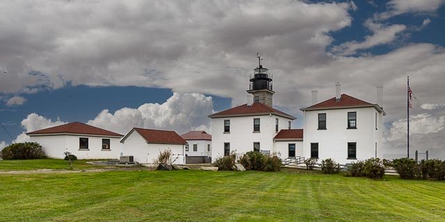
- Beavertail Lighthouse
- Michigan City Breakwater lighthouse
- Algoma Pierhead Lighthouse
- St. Augustine Lighthouse
- Cana Island Lighthouse
- Sherwood Point Lighthouse
- Eagle Harbor Lighthouse
- Cockspur Island Lighthouse
- St. Marks Lighthouse
- Crooked River Lighthouse
- St George Island Lighthouse
- Cape San Blas Lighthouse
- Round Island Lighthouse
- Anclote Key Lighthouse
- Sanibel Island Lighthouse
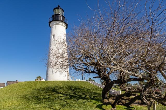
- Port Isabel Lighthouse
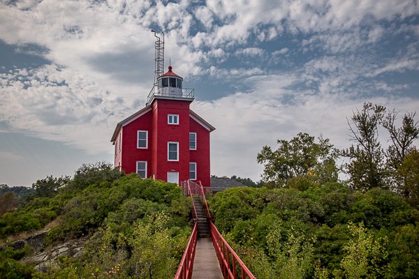
- Sand Island Lighthouse
- Nubble Lighthouse
- Big Sable Point Lighthouse
- Raspberry Island Lighthouse
- St. Simons Island Lighthouse
- Point Cabrillo Lighthouse
- Point Arena Lighthouse
- Umpqua River Lighthouse
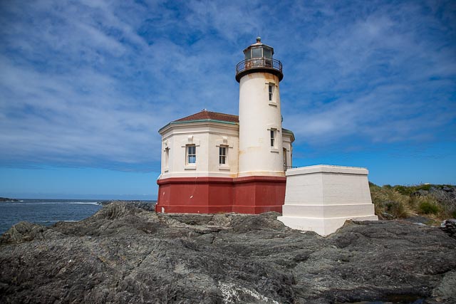
- Coquille River Lighthouse
- Cape Blanco Lighthouse
- Yaquina Head Lighthouse and Outstanding Natural Area
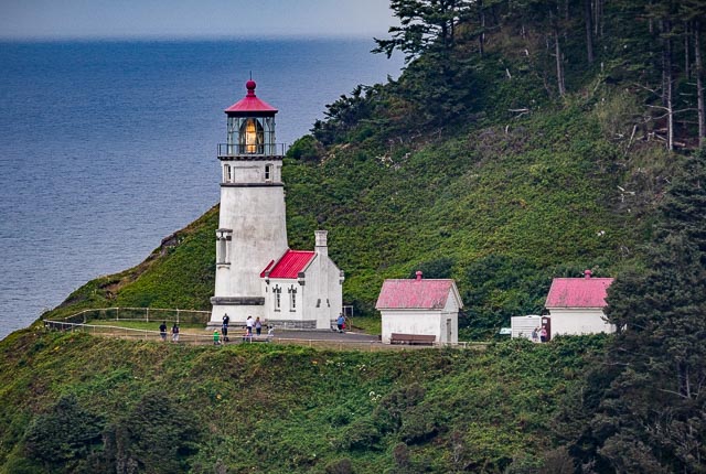
- Heceta Head Lighthouse
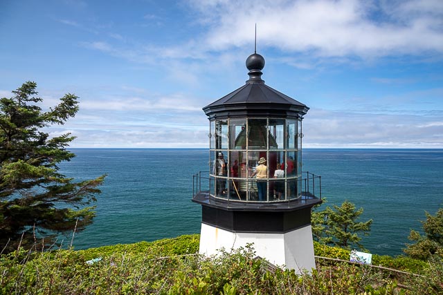
- Cape Meares Lighthouse
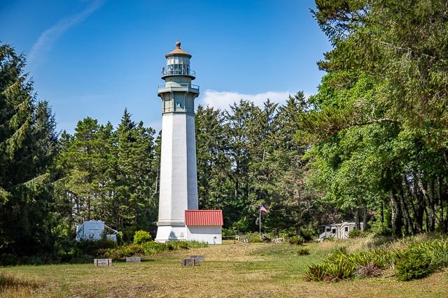
- Grays Harbor Lighthouse
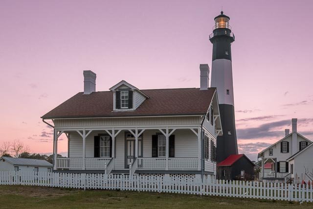
- Tybee Island Lighthouse
- Pensacola Lighthouse
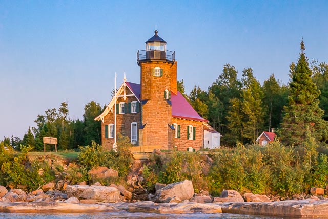
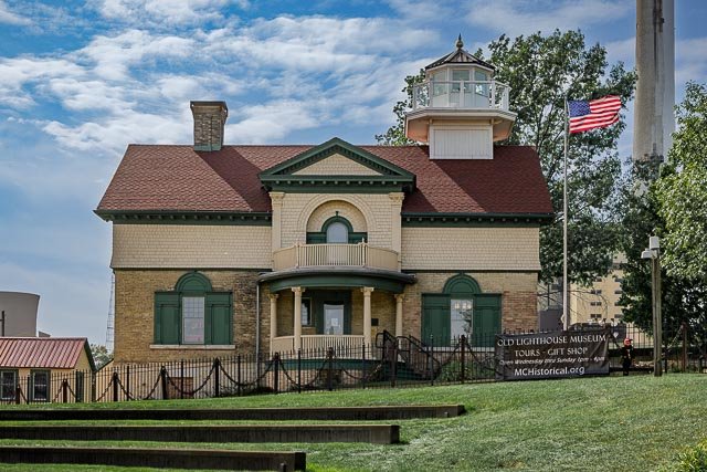
- Marquette Harbor Lighthouse
Interactive Google Map
Use the map + – controls to zoom in and out, use the Map drop-down to change to “Map”, “Satellite”, “Hybrid”, or “Terrain” views. Drag the little man icon from the upper left corner to a map location for street level view. Click on a pushpin for more information about the Photographic Destination, then click on the title to go to the location page.