Great Places for Great Photos
Let me help you to find a great location for your next photography adventure. I will list many lesser known destinations, as well as the famous “Icon Locations” for photography. I will provide photos (Lots of Photos), location information, consisting of what there is to photograph as well as other information about the destination. I will give costs, maps, directions, contact information, and other essential information for a successful photo trip. I will only post for locations that I have personally photographed to insure a quality guide to great locations for photography.
Route 66 Destinations
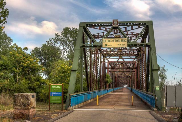
- Chain of Rocks Bridge
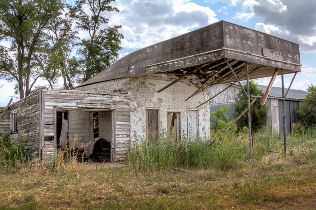
- Texola Ghost Town
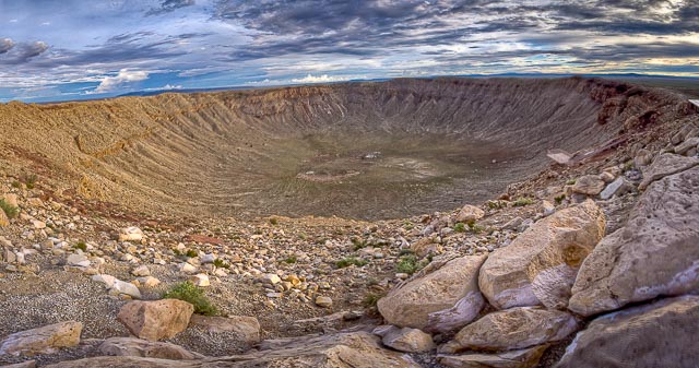
- Meteor Crater
- Elmer Long’s Bottle Tree Ranch
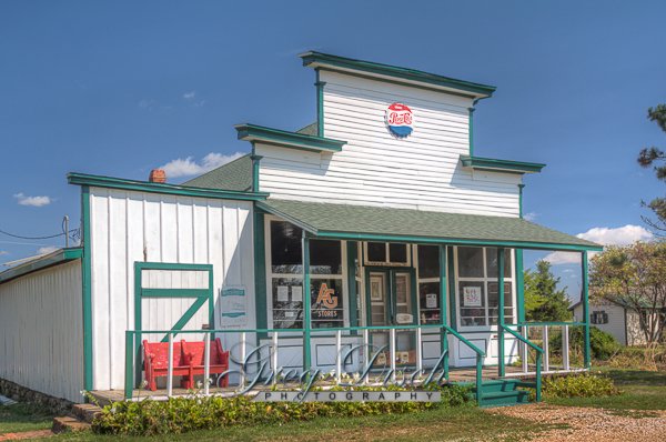
- Soulsby Service Station Rt 66
- Glenrio Ghost Town
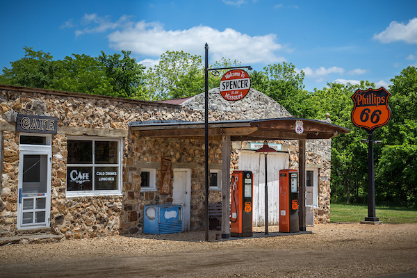
- Spencer Ghost Town
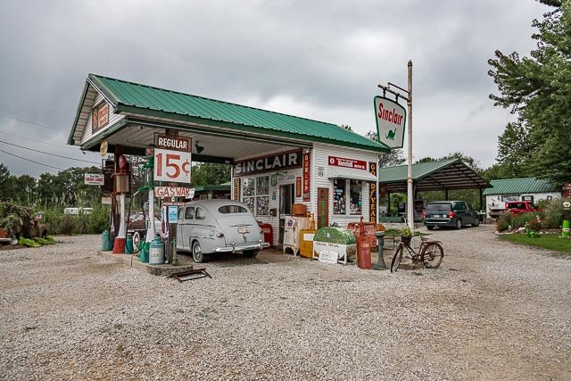
- Gay Parita Sinclair – Paris Springs Junction
- Red Oak II Missoura
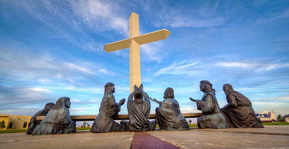
- Cross of our Lord Jesus Christ – Groom Texas
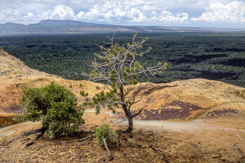
- El Malpais National Monument – Sandstone Bluffs
- Cadillac Ranch – Amarillo TX
Interactive Google Map
Use the map + – controls to zoom in and out, use the Map drop-down to change to “Map”, “Satellite”, “Hybrid”, or “Terrain” views. Drag the little man icon from the upper left corner to a map location for street level view. Click on a pushpin for more information about the Photographic Destination, then click on the title to go to the location page.