Great Places for Great Photos
Let me help you to find a great location for your next photography adventure. I will list many lesser known destinations, as well as the famous “Icon Locations” for photography. I will provide photos (Lots of Photos), location information, consisting of what there is to photograph as well as other information about the destination. I will give costs, maps, directions, contact information, and other essential information for a successful photo trip. I will only post for locations that I have personally photographed to insure a quality guide to great locations for photography.
Fort Photographic Destinations
Many US military installations are known as forts, although they are not always fortified. Indeed, during the pioneering era of North America, many outposts on the frontiers, even non-military outposts, were referred to generically as forts. Larger military installations may be called fortresses; smaller ones were once known as fortalices. The word fortification can also refer to the practice of improving an area’s defense with defensive works. City walls are fortifications but are not necessarily called fortresses.
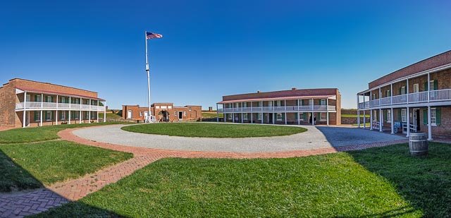
- Fort McHenry National Monument
- Fort Clinch State Park
- Bent’s Old Fort National Historic Site
- Fort Donelson National Battlefield
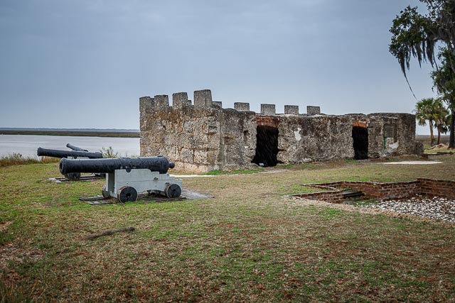
- Fort Frederica
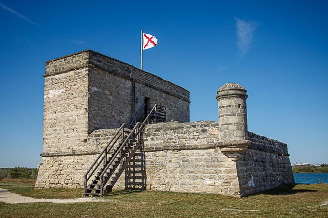
- Fort Matanzas National Monument
- Castillo de San Marcos National Monument
- Fort Larned National Historic Site
- Fort Davis National Historic Site
- Fort Leaton State Historic Site
- Fort Morgan
- Fort Scott National Historic Site
- Fort Pickens Gulf Islands National Seashore
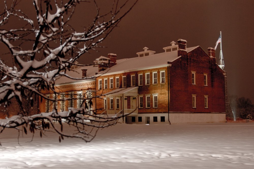
- Fort Smith National Historic Site
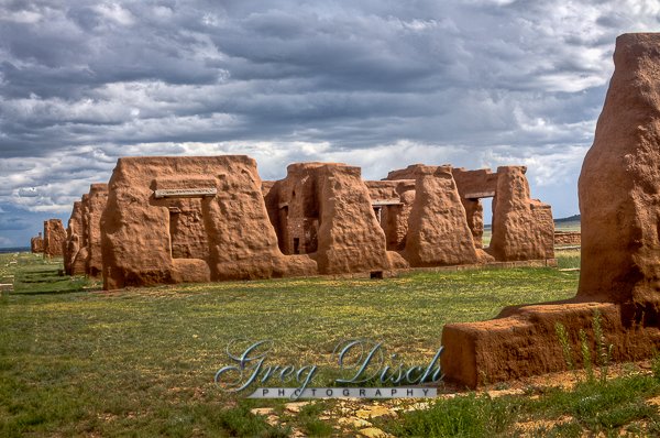
- Fort Union National Monument – New Mexico
Interactive Google Map
Use the map + – controls to zoom in and out, use the Map drop-down to change to “Map”, “Satellite”, “Hybrid”, or “Terrain” views. Drag the little man icon from the upper left corner to a map location for street level view. Click on a pushpin for more information about the Photographic Destination, then click on the title to go to the location page.