Great Places for Great Photos
Let me help you to find a great location for your next photography adventure. I will list many lesser known destinations, as well as the famous “Icon Locations” for photography. I will provide photos (Lots of Photos), location information, consisting of what there is to photograph as well as other information about the destination. I will give costs, maps, directions, contact information, and other essential information for a successful photo trip. I will only post for locations that I have personally photographed to insure a quality guide to great locations for photography.
Waterfalls Photographic Destinations
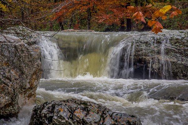
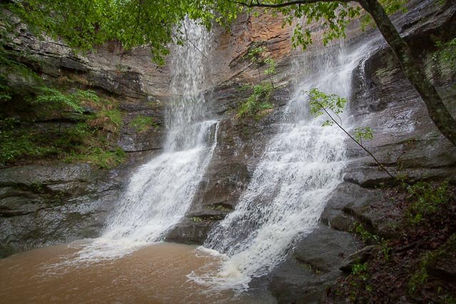
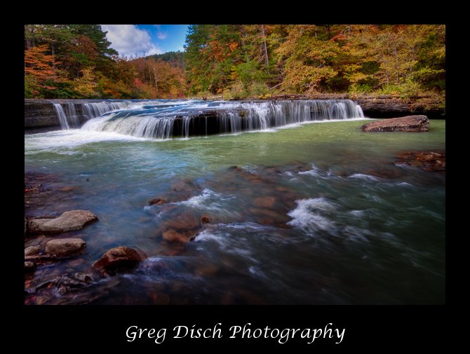
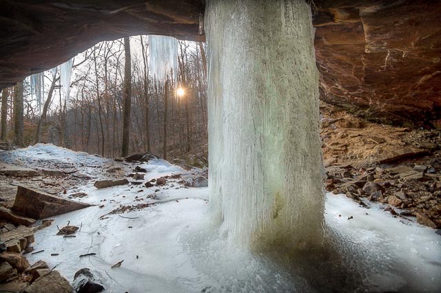
A waterfall is an area where water flows over a vertical drop or a series of steep drops in the course of a stream or river.
Waterfalls are commonly formed in the upper course of a river where lakes fall into in steep mountains.[1] Because of their landscape position, many waterfalls occur over bedrock fed by little contributing area, so they may be ephemeral and flow only during rainstorms or significant snowmelt. The further downstream, the more perennial a waterfall can be. Waterfalls can have a wide range of widths and depths.
- Rocky Gorge Scenic Area
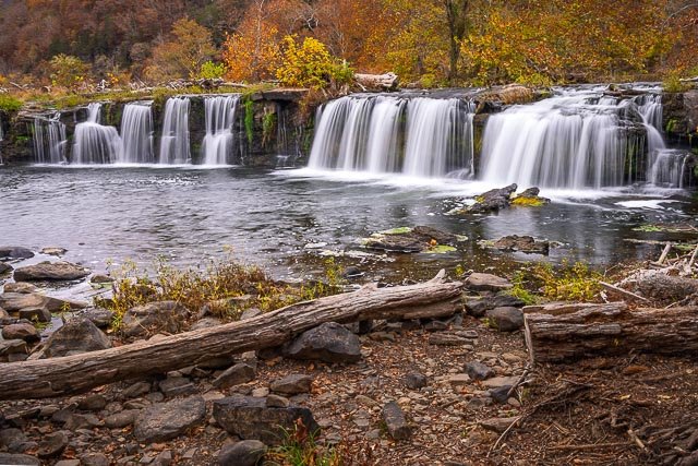
- Sandstone Falls – New River Gorge National Park
- Niagara Falls State Park
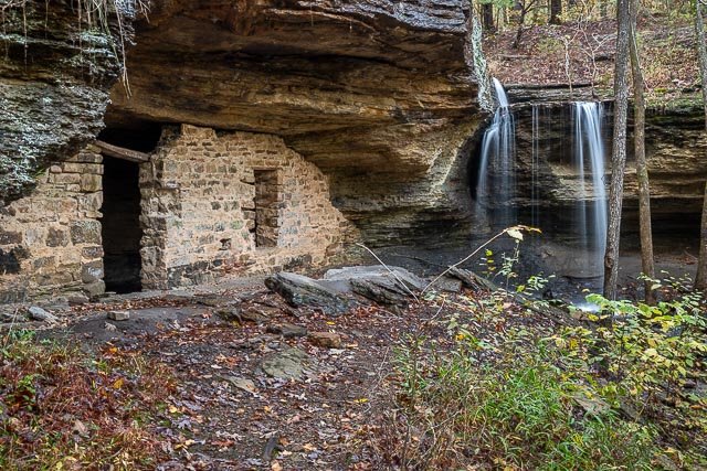
- Moonshiners Cave
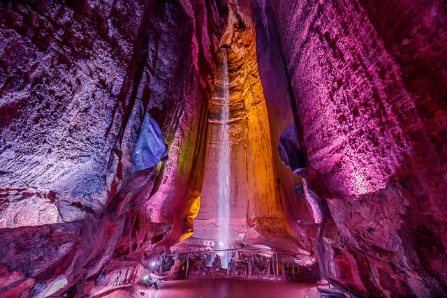
- Ruby Falls
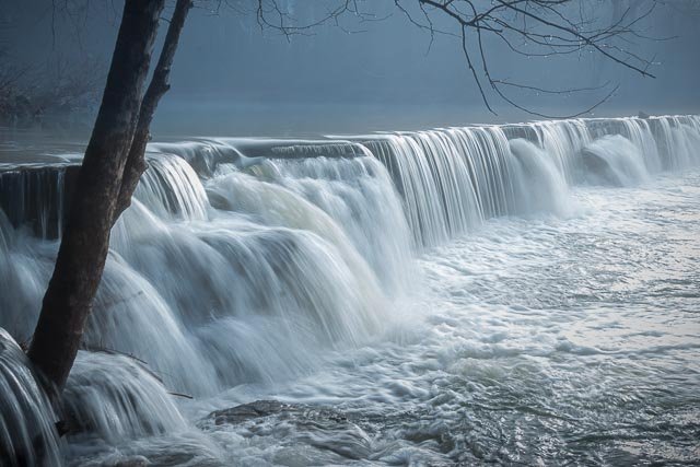
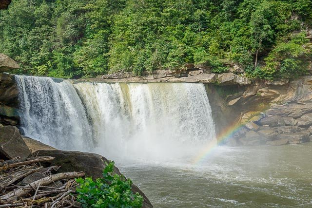
- Cumberland Falls
- Elk Falls Waterfall and Living Ghost Town
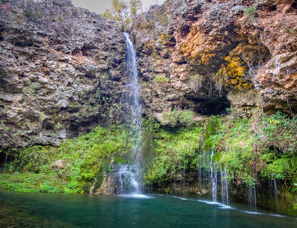
- Glory Hole Waterfall
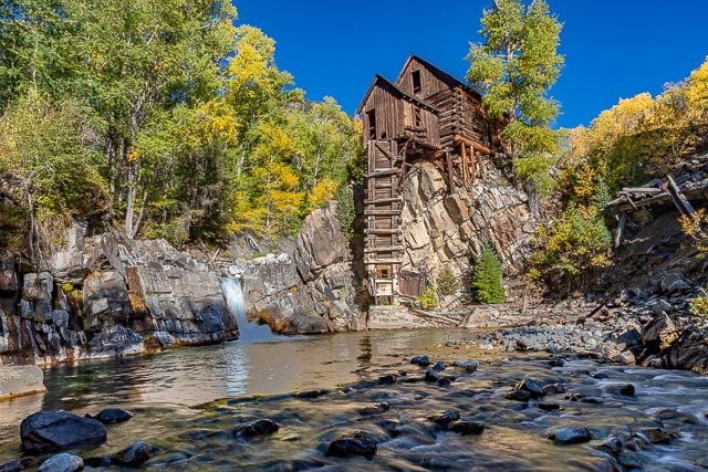
- Crystal Mill
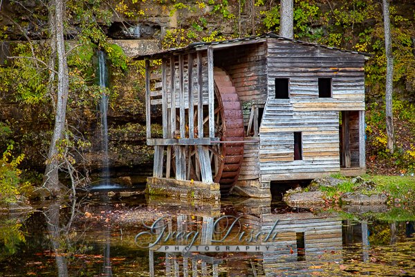
- Falling Spring Mill
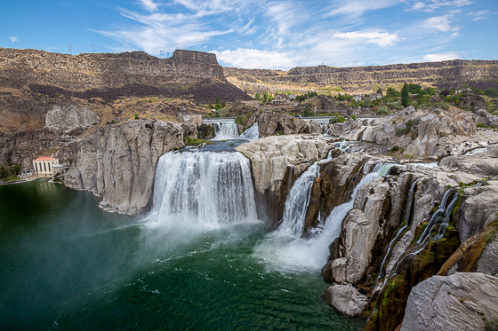
- Shoshone Falls
- Little Missouri Falls
- Natural Falls State Park
- Haw Creek Waterfall and Campground
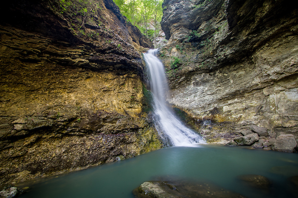
- Natural Dam Arkansas Waterfall
- Lost Valley – Eden Falls – Buffalo National River
- High Bank Twin Falls – Arkansas
Interactive Google Map
Use the map + – controls to zoom in and out, use the Map drop-down to change to “Map”, “Satellite”, “Hybrid”, or “Terrain” views. Drag the little man icon from the upper left corner to a map location for street level view. Click on a pushpin for more information about the Photographic Destination, then click on the title to go to the location page.