Great Places for Great Photos
Let me help you to find a great location for your next photography adventure. I will list many lesser known destinations, as well as the famous “Icon Locations” for photography. I will provide photos (Lots of Photos), location information, consisting of what there is to photograph as well as other information about the destination. I will give costs, maps, directions, contact information, and other essential information for a successful photo trip. I will only post for locations that I have personally photographed to insure a quality guide to great locations for photography.
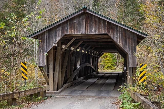
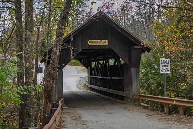
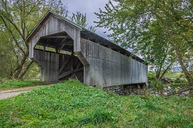
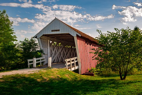
Covered Bridges Photographic Destinations
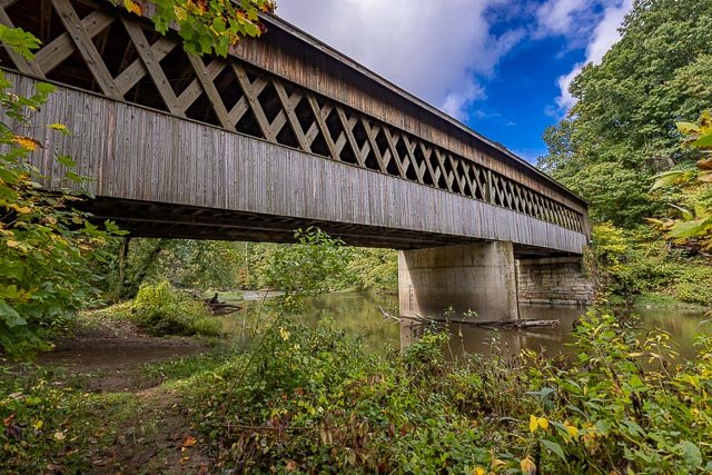
A covered bridge is a timber-truss bridge with a roof, decking, and siding, which in most covered bridges create an almost complete enclosure. The purpose of the covering is to protect the wooden structural members from the weather. Uncovered wooden bridges typically have a lifespan of only 20 years because of the effects of rain and sun, but a covered bridge could last over 100 years.
Typically, covered bridges are structures with longitudinal timber-trusses which form the bridge’s backbone. Some were built as railway bridges, using very heavy timbers and doubled up lattice work.
Most bridges were built to cross streams, and the majority had just a single span. Virtually all contained a single lane. A few two-lane bridges were built, having a third, central truss.
Many different truss designs were used. One of the most popular designs was the Burr Truss, patented in 1817, which used an arch to bear the load, while the trusses kept the bridge rigid. Other designs included the King, Queen, Lattice, and Howe trusses.
Early trusses were designed without an understanding of the engineering dynamics at work. In 1847, American engineer Squire Whipple published the first correct analysis of the way a load is carried through the truss, which enabled him to design stronger bridges with fewer materials.
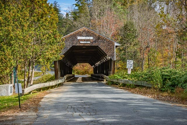
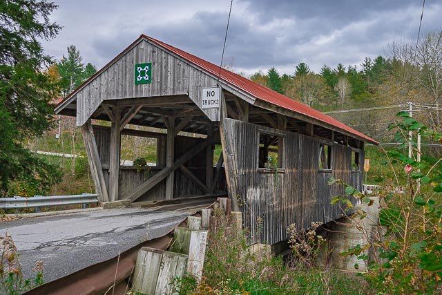
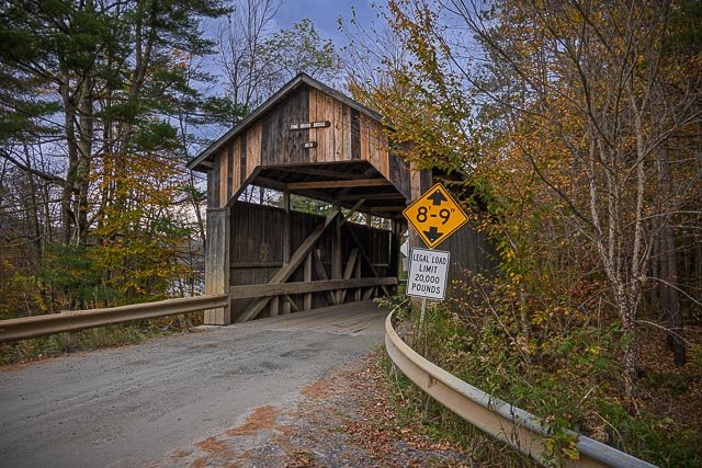
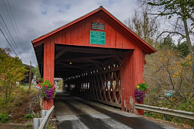
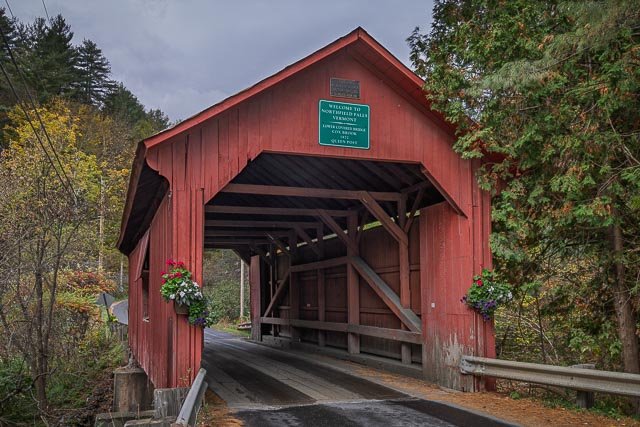
- Swiftwater Covered Bridge
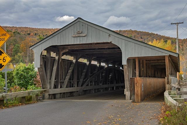
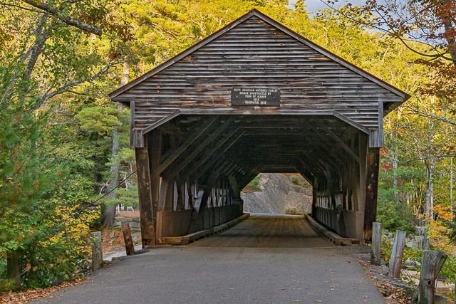
- Albany Covered Bridge
- Upper Cox Brook Covered Bridge
- Scribner Covered Bridge
- Powerhouse Covered Bridge
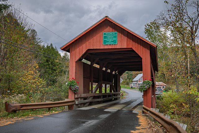
- Northfield Falls Covered Bridge
- Lower Cox Brook Covered Bridge
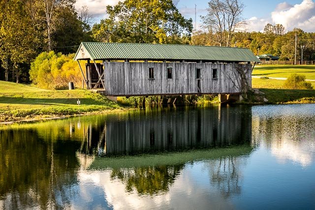
- Grist Mill Covered Bridge
- Gates Farm Covered Bridge
- Waitsfield Covered Bridge
- Pine Brook Covered Bridge
- Gold Brook Covered Bridge
- Red Covered Bridge
- Knox Covered Bridge
- Kymulga Mill and Covered Bridge
- Bay Covered Bridge
- State Road Covered Bridge
- Randall Covered Bridge
- Groveton Covered Bridge
- Kidder Covered Bridge
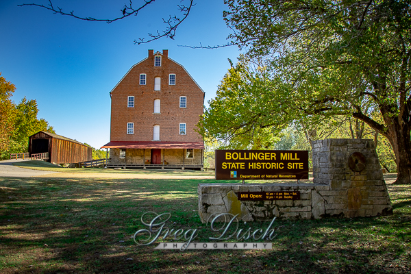
- Bollinger Mill State Historic Site
- Bridges of Madison County
Interactive Google Map
Use the map + – controls to zoom in and out, use the Map drop-down to change to “Map”, “Satellite”, “Hybrid”, or “Terrain” views. Drag the little man icon from the upper left corner to a map location for street level view. Click on a pushpin for more information about the Photographic Destination, then click on the title to go to the location page.