The Old Mill

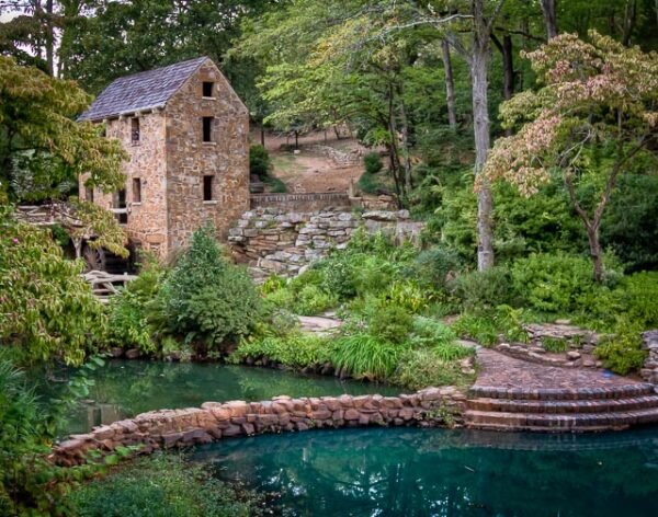
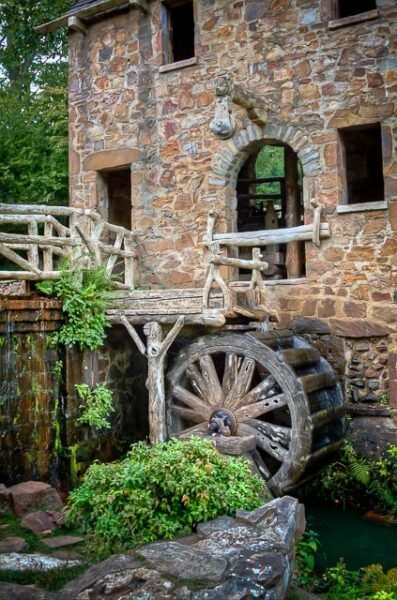
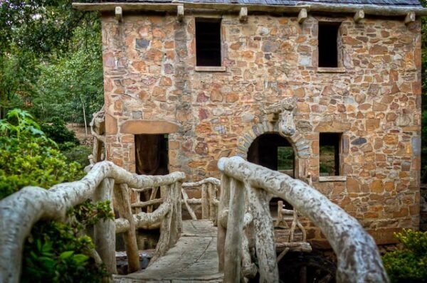
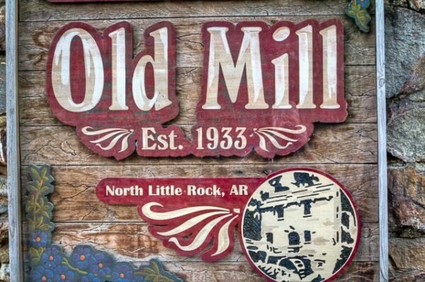
The Old Mill was never a real working mill, but instead the creation of Senor Dionicio Rodriguez who sculpted the entire project from cement. The project was built as part of the development of the Lakewood residential community in North Little Rock and was completed in 1933. The Old Mill was placed on the National Record of Historic Places in 1986. The Old Mill is well known from the opening scenes of the 1939 film Gone With the Wind.
What to Photograph:
The entire park is very photographic and draws many photographers from around the world. The main attraction of course of the mill itself, but the surrounding gardens are also great photo subjects themselves. There are many intricate details in the paths and bridges as well that make interesting photos.
Best Time for Photographers:
Early morning and evening of course are some of the best time for photography, but due to the popularity of the park weekdays are the best time to photograph without crowds of people. The park is very popular with professional shooting portraits and for weddings.
Where it is:
The Old Mill is located in the T.R. Pugh Memorial Park, at the corner of Fairway Avenue and Lakeshore Drive in North Little Rock.
Maps:
Interactive Google Map
Use the map + – controls to zoom in and out, click and drag the to move the map, use the Map drop-down to change to “Map”, “Satellite”, “Hybrid”, or “Terrain” views. Drag the little man icon from the upper left corner to a map location for street level view.
Cost:
Admission if free to the park which is open from sunrise to sunset, and is now owned by the city of North Little Rock.
Facilities:
There are public restrooms located in the park.
Links:
Information about the Old Mill
Location Contact Information:
Address:
- Phone: 501-758-1424
- Toll-Free: 800-643-4690
- Fax: 501-758-5752
- Website: www.northlittlerock.org
- E-mail: visitnlr@northlittlerock.org
GPS: N34.7916357 W92.2504150
Nearest City or Town:
North Little Rock Arkansas
The Old Mill Photo Gallery
Click Here for full page gallery
More Photographic Destinations in Arkansas:
Interactive Google Map
Use the map + – controls to zoom in and out, use the Map drop-down to change to “Map”, “Satellite”, “Hybrid”, or “Terrain” views. Drag the little man icon from the upper left corner to a map location for street level view. Click on a pushpin for more information about the Photographic Destination, then click on the title to go to the location page.
Click Here for Photographic Destinations by State


