Teter Rock Flint Hills Kansas

Teterville is a ghost town in Greenwood County, Kansas, It is located approximately 11 miles east of Cassoday. No buildings remain of this former community. Teterville was founded as an “oil town” sometime after the Teeter Oil Field was discovered around 1920. The oil field was named in honor of James Teter who owned about 6900 acres of land in Greenwood County. A post office was opened in Teterville in 1927, and remained in operation until it was discontinued in 1962.
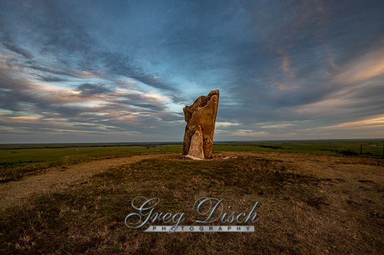
Teter Rock was originally placed as a guide for settlers crossing the Flint Hills. the current monument was erected by the Greenwood County Historical Society to replace the earlier landmark created in the 1870s or 1880s by James Wesley Teter (1849-1929).
What to Photograph:
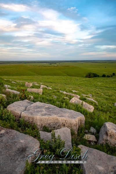
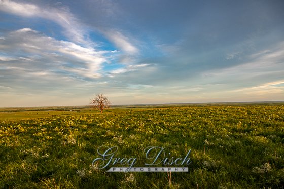
Teter Rock makes a nice forgroud subject for photographing the Kansas Flint Hills and the Tall Grass Prairie. This is also a great place to photograph the night sky and the Milky Way.
Where it is:
Teter Rock is located 0.9 miles south of Teterhill Road on top of a hill. It is accessible by the public using a rural road on private land, so please respect the property. In 1954.
From Cassoday, take the 1st Street Rd (also called NE 150th St) and head east. After half a mile or so, the paved road will turn to gravel. From Cassoday to the Teter Rock turn, it will be approximately 11 miles. The road also becomes known as Teter Hill Rd when you leave Cassoday. There will be a little sign on the right that says “Teterville and Teter Rock” just before the turn-off for Teter Rock.
Maps:
Interactive Google Map
Use the map + – controls to zoom in and out, click and drag the to move the map, use the Map drop-down to change to “Map”, “Satellite”, “Hybrid”, or “Terrain” views. Drag the little man icon from the upper left corner to a map location for street level view.
GPS:
38°1′46.5″N 96°25′24.9″W (38.029583, -96.423583)
Cost:
There are no fees to visit Teter Rock.
Facilities:
There are no facilities at Teter Rock
Teter Rock Photo Gallery
Click Here for full page gallery
More Photographic Destinations in Kansas:
Interactive Google Map
Use the map + – controls to zoom in and out, use the Map drop-down to change to “Map”, “Satellite”, “Hybrid”, or “Terrain” views. Drag the little man icon from the upper left corner to a map location for street level view. Click on a pushpin for more information about the Photographic Destination, then click on the title to go to the location page.
Click Here for Photographic Destinations by State


