Ironton Ghost Town

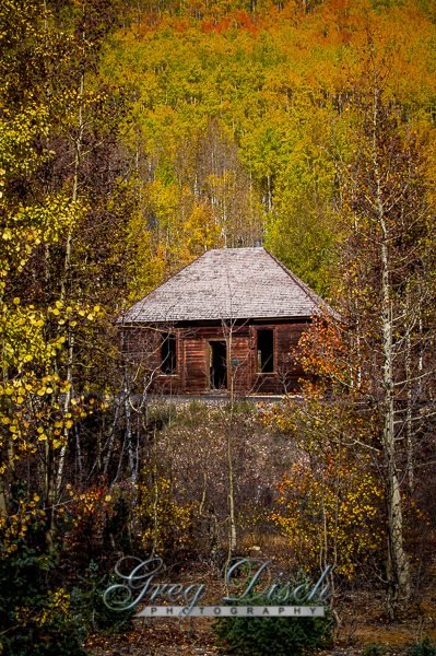
Ironton Ghost Town, Ironton was a town in Ouray County, Colorado, United States. It lay south of the present town of Ouray.
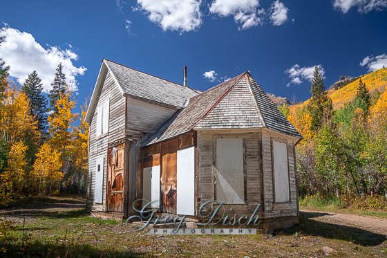
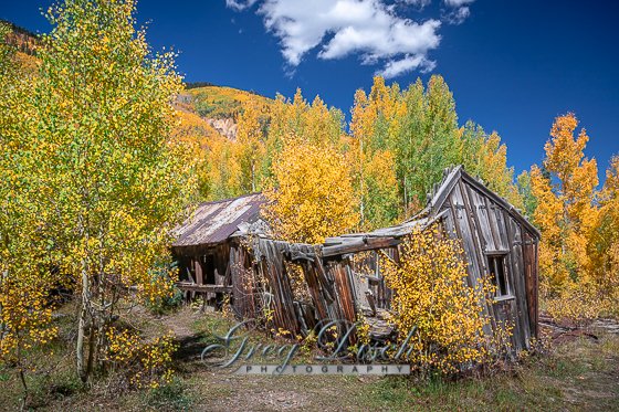
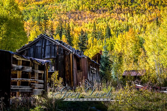
Ironton (aka Copper Glen) was built on flatter ground than surrounding towns. Settled in 1893, within three weeks three hundred buildings were being built. It was a staging area for supplies coming from Ouray. Ironton was a major transportation junction between Red Mountain Town and Ouray in addition to having some of its own mines. Ironton had a peak population of over 1000 and had two trains arriving daily from Silverton. There were many chain stores from the nearby cities of Ouray and Silverton. The town lived into the first part of the 20th century but slowly faded as mining operations declined. The final resident of the town, Milton Larson, died in the mid-1960s. The town site is still occasionally visited by tourists.
History
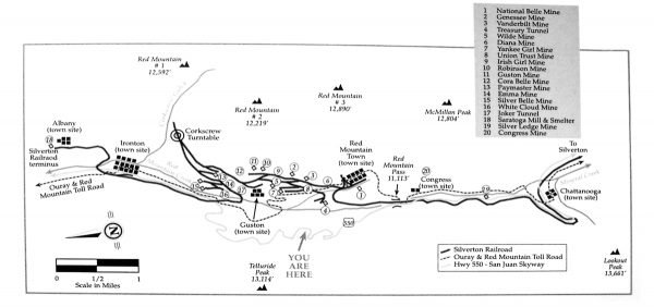
The slumbering remains of Ironton outside of Ouray, Colorado, were once home to many miners who worked the mines in the mountains surrounding Ironton Park and the neighboring towns of Guston and Red Mountain. Ironton’s mines made their wealth from silver and lead at first. In 1893, the Silver Panic brought a bust and put an end to silver mining. Mines began to close one by one. After a few years, mining activity picked up when in 1898, gold was discovered in nearly the same ores as the silver, and many of these mines, like the Yankee Girl, American Girl, Colorado Boy, Treasury, Genessee-Vanderbilt, and others were re-opened. Mining camps boomed again for a few decades.
A few mines remained open until the 1950s, and the Idarado Mining Company still manages its tunnel at the head of Ironton Park today; However, most of the camps and mines were mostly deserted by 1930. The last remaining resident and “Mayor”of Ironton, Milton Larson, passed away in the 1960’s when the town officially became a ghost town.
In 1938, investors in Ouray built a ski lodge for the new fangled sport of downhill skiing, but it never opened to the public and around 1950 it was sold to the Saint Germain Foundation for a religious retreat. The stone garage on the east side of Highway 550 was built at that time.
Ironton townsite on the east side of Highway 550 is mostly public land (Forest Service and county), and open to the public. If you go, spend some time and wander through the trees, and you may be surprised what can be found.
What to Photograph:
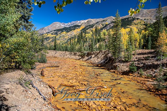
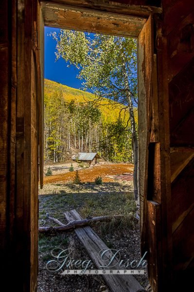
There is a great deal to photograph here including the old mines and equipment,the ghost town, and the spectacular scenery along the Million Dollar Highway.
Best Time for Photographers:
The best time to visit is in the summer or fall.
Where it is:
From Ouray – Take Highway 550 south from town for just over 7 miles to reach Ironton. There will be an interpretive sign marking the site. Continue south for four miles to reach Red Mountain Town, another former mining camp in the district.
From Silverton – Take Highway 550 north from town for 15 miles to reach the ghost town. You’ll pass the ghost town of Red Mountain first in 11 miles, on Red Mountain Pass.
Maps:
Interactive Google Map
Use the map + – controls to zoom in and out, click and drag the to move the map, use the Map drop-down to change to “Map”, “Satellite”, “Hybrid”, or “Terrain” views. Drag the little man icon from the upper left corner to a map location for street level view.
GPS:
37°55’59.885″ N 107°40’48.006″ W
Cost:
There is no cost to visit Ironton Ghost Town.
Hours:
There are no hours, it is accessible at all times.
Facilities:
There are no facilities of any kind.
Links:
Red Mountain Mining District History
Location Contact Information:
Grand Mesa, Uncompahgre and Gunnison National Forest
2250 South Main St
Delta, Colorado 81416
(970) 874-6600
Ironton Ghost Town Photo Gallery
Click Here for full page gallery
More Photographic Destinations in Colorado:
Interactive Google Map
Use the map + – controls to zoom in and out, use the Map drop-down to change to “Map”, “Satellite”, “Hybrid”, or “Terrain” views. Drag the little man icon from the upper left corner to a map location for street level view. Click on a pushpin for more information about the Photographic Destination, then click on the title to go to the location page.
Click Here for Photographic Destinations by State

