Canyon de Chelly National Monument

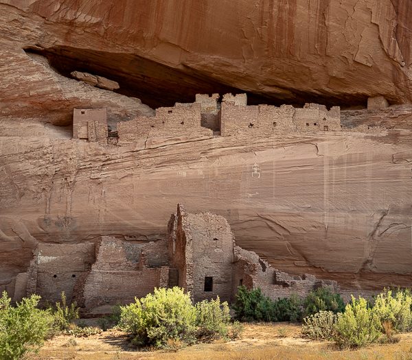
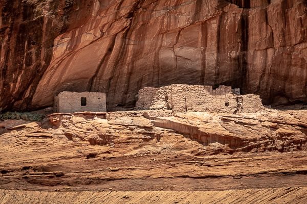
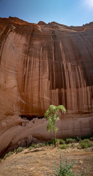
For nearly 5,000 years, people have used the towering sandstone walls of Canyon de Chelly as a place for campsites, shelters, and permanent homes. Managed through a partnership between the National Park Service and the Navajo Nation and located on Navaho Trust Land, Canyon de Chelly (pronounced d’SHAY) National Monument represents one of the longest continuously inhabited landscapes of North America. The National Monument preserves the remains and cultural resources of various American Indian groups that have lived within the canyon’s walls throughout history. The sites, cliff dwellings, and images on cliff walls, as well as the living community of Navajo people within Canyon de Chelly today, contribute to our understanding of American Indian cultural heritage in the United States.
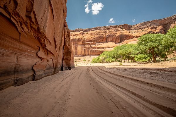
Enjoy a tour into the canyon by vehicle, horseback or hiking. Private companies registered with the Navajo Parks and Recreation Department (NPRD) are authorized to provide canyon tours in the park. Please contact the companies directly for prices, reservations and availability. Reservations are recommended from March to October. Use of private vehicles, ATV’s, UTV’s or motorbikes for tours are not permitted.
What to Photograph
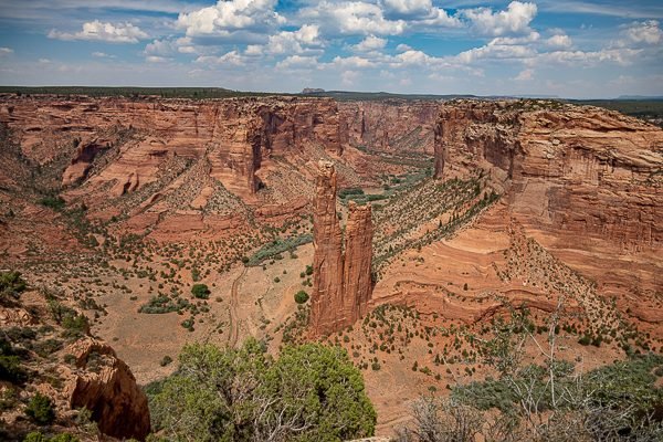
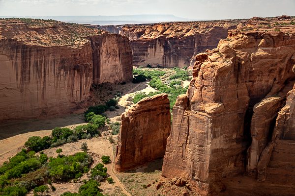
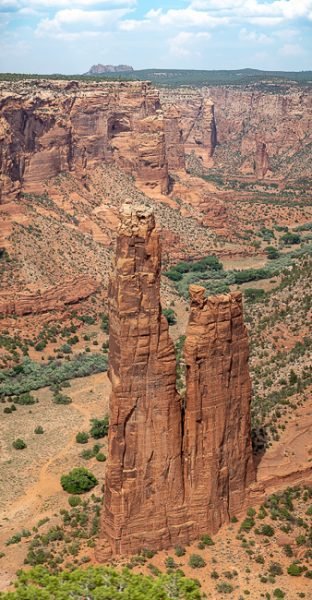
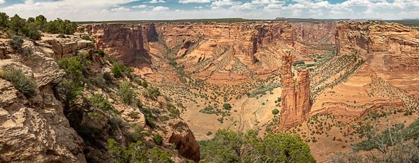
There are many things to photograph here, from the top of the canyon are fantastic views of the canyon and ruins below. Spider Rock, is a sandstone spire that rises 750 feet (229 m) from the canyon floor at the junction of Canyon de Chelly and Monument Canyon. You can also take a Navajo tour down into the canyon for an entirely different perspective.
Where it is:
The recommended route to the park is from Highway 191 in Chinle then turning east on Route 7. The park entrance and Welcome Center is less than 3 miles from Highway 191.
An alternative is entering the park from the east via Route 64 from Tsaile, AZ. There are 3 overlooks to stop at along Route 64 before getting to the Welcome Center.
DO NOT use Route 7 from the EAST to enter the park. This road is unpaved and unmaintained between Sawmill and the Spider Rock turnoff. Using this road may lead to being lost and stranded without cell phone signal.
Maps:
Interactive Google Map
Use the map + – controls to zoom in and out, click and drag the to move the map, use the Map drop-down to change to “Map”, “Satellite”, “Hybrid”, or “Terrain” views. Drag the little man icon from the upper left corner to a map location for street level view.
GPS:
36°9’10.554″ N 109°32’20.724″ W
Cost:
Hours:
The North and South Rim Drives, all ten overlooks and the White House Trail remain open all year. The roads are paved and accessible by vehicle (4-wheel drive is not required). The White House Trail starts from the White House Overlook on the South Rim.
The Visitor Center is open daily from 8 a.m. to 5 p.m., but closed Thanksgiving, Christmas and New Year’s Day. During severe weather, the Visitor Center may open at a later time or be closed for the day.
Facilities:
CAMPING: Fee required. Camp at the Cottonwood Campground with sites available first-come, first-serve. No showers or hookups. Call Navajo Parks and Recreation Department at 928-674-2106 for details.
Location Contact Information:
Canyon de Chelly National Monument Photo Gallery
Click Here for full page gallery
More Photographic Destinations in Arizona:
Interactive Google Map
Use the map + – controls to zoom in and out, use the Map drop-down to change to “Map”, “Satellite”, “Hybrid”, or “Terrain” views. Drag the little man icon from the upper left corner to a map location for street level view. Click on a pushpin for more information about the Photographic Destination, then click on the title to go to the location page.
Click Here for Photographic Destinations by State
