Cape Meares Lighthouse

The Shortest Lighthouse in Oregon
Captain John Meares was the first to sail into Tillamook Bay, naming it Quick Sand Bay because of the mud at low tide. Captain Robert Gray was the first American on the scene and he called it Murderers Harbor because one of his crew was killed by natives there.
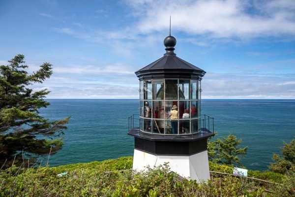
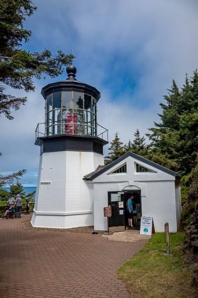
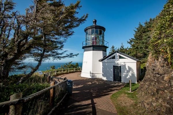
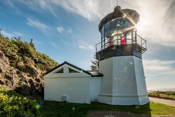
The lighthouse was built in 1889 and commissioned on January 1, 1890. The tower stands 38 feet high and is the shortest lighthouse in Oregon. It is constructed of bricks (made right on site at a cost of $2,900) with iron plates covering it. The original addition that now houses the interpretive shop was a work room built in 1895 – the current interpretive shop replaced the original work room in 1978.
The light was a five wick oil lamp with a reflector to increase the light. It was turned by a 200 pound lead weight that was wound by a system similar to a grandfather clock. It turned 2 ½ hours on one winding at a pace of 4 minutes per full revolution. The lens and iron housing weighed two tons complete. The two oil storage buildings held 3,240 gallons of oil in five gallon cans and were located east of the lighthouse. The walls were made 15 inches thick to protect the area from the danger of fire in the buildings.
The original lens is a first order Fresnel (pronounced “Fraynel”) lens made in Paris, France. It was shipped around Cape Horn, up the west coast to Cape Meares and then hauled 217 feet up the cliff by a wooden crane that was built from local timbers native to the area. It is an eight-sided lens with 4 primary lenses and 4 bull’s-eye lenses with red panels covering the bull’s-eye lenses. It produced about 30 seconds of fixed white light from the primary lens followed by a red flash of 5 seconds from the bull’s-eye lens once every minute. This was the signature of Cape Meares Lighthouse. The primary lens produced 18,000 candlepower and the bull’s-eye lens produced 160,000 candlepower. The light could be seen 21 nautical miles at sea.
The oil lamp was replaced in 1910 with an oil vapor light similar to the Coleman lanterns of today. This was replaced in 1934 with electricity produced by generators and eventually by central power. The light today is automated and produces 57,000 candle power. It is located in a building adjacent to the historic structure.
The keepers houses were located where the parking lot and kiosk are now situated. The houses cost $26,000 to build. The lighthouse was decommissioned in 1963, stood vacant for a number of years and was heavily vandalized.
What to Photograph
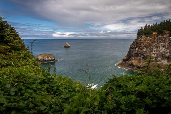
The historic lighthouse and fantastic views of the rugged Oregon Coast. The Three Arch Rocks Wildlife Refuge can be seen in the distance from the shore.
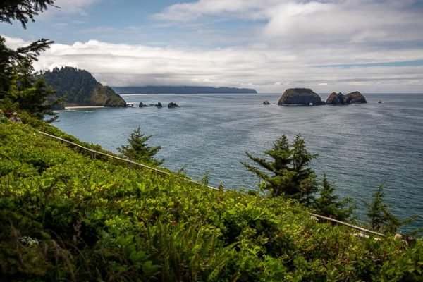
Three Arch Rocks Wildlife Refuge. Established as a refuge in 1907 by President Theodore Roosevelt, the refuge provides habitat for Sea Lions, Tufted Puffins, and many other species of seabirds.
Where it is:
Hwy 131 – As you are driving south on Hwy 101, turn right onto Hwy 131, previously Third St.
Travel through the town of Netarts and continue on to Oceanside. Keep to the right as you near Oceanside and continue on Cape Meares Loop for 2 miles to the Lighthouse.
Watch for signage along the way!
Maps:
Interactive Google Map
Use the map + – controls to zoom in and out, click and drag the to move the map, use the Map drop-down to change to “Map”, “Satellite”, “Hybrid”, or “Terrain” views. Drag the little man icon from the upper left corner to a map location for street level view.
GPS:
45°29’11.098″ N 123°58’42.168″ W
Hours:
Cape Meares State Scenic Viewpoint & National Wildlife Refuge is open 365 days a year. 7 a.m. to dusk.
Cape Meares Lighthouse is open daily May thru September.
The Lighthouse Gift Shop Hours:
MONDAY…. closed
TUESDAY…..closed
WEDNESDAY…..closed
THURSDAY…..11:00-4:00 closed
FRIDAY…..11:00-4:00 closed
SATURDAY…..11:00-4:00 closed
SUNDAY…..11:00-4:00 closed
Cost:
Location Contact Information:
Contact Cape Lookout State Park
PHONE (503) 842-3182 for further information.
or visit OPRD Cape Meares State scenic Viewpoint website at OPRD.org.
Cape Meares Lighthouse Photo Gallery
Click Here for full page gallery
More Photographic Destinations in Oregon:
Interactive Google Map
Use the map + – controls to zoom in and out, use the Map drop-down to change to “Map”, “Satellite”, “Hybrid”, or “Terrain” views. Drag the little man icon from the upper left corner to a map location for street level view. Click on a pushpin for more information about the Photographic Destination, then click on the title to go to the location page.
Click Here for Photographic Destinations by State
