Maxwell Point Tunnel Oceanside Beach

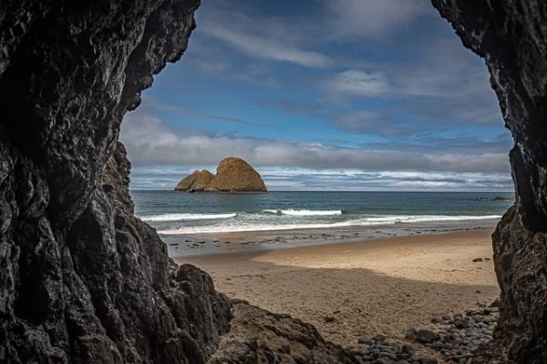
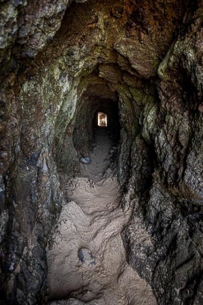
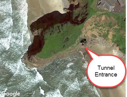
The Maxwell Point tunnel was built in the early part of the 20th century by the Rosenberg family, who created the original resort in Oceanside. The tunnel through Maxwell Point was covered by a landslide and completely inaccessible. Sometime after the early 90’s, it was cleared, allowing people to wander through again.
Oceanside Beach State Recreation Site is open to the public and is fee-free. Amenities at the site, in the unincorporated community of Oceanside, include picnicking, wildlife watching, fishing, windsurfing, and kite flying. Beachcombing is popular in summer, and agate hunting is best in winter, when ocean currents remove sand. Oceanside is about 11 miles west of Tillamook off U.S. Route 101.
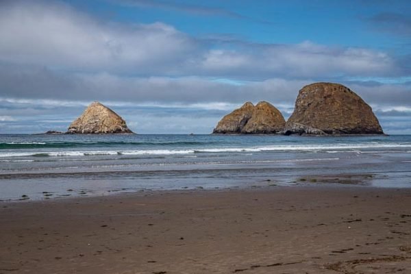
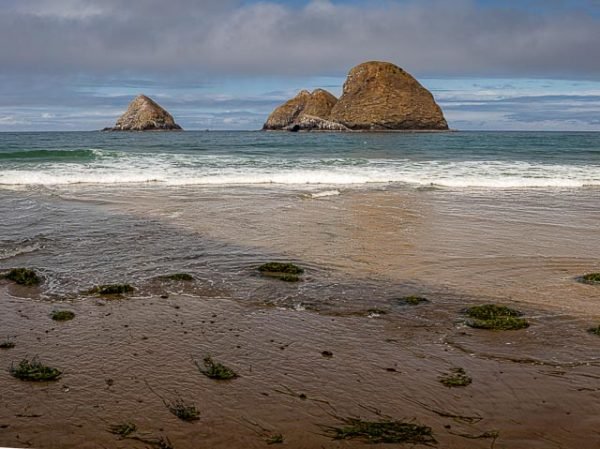
Three Arch Rocks National Wildlife Refuge is a U.S. National Wildlife Refuge located on the central coast of Tillamook County, in the northwestern part of Oregon. It is one of six National Wildlife Refuges within the Oregon Coast National Wildlife Refuge Complex and was the first National Wildlife Refuge west of the Mississippi River. In 1970 the Refuge was designated as wilderness. It is one of the smallest wilderness areas in the United States.
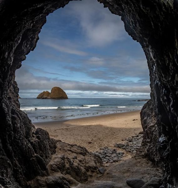
Three Arch Rocks consists of 15 acres on three large and six small rocky islands located about a half mile offshore from Oceanside. It is one of the smallest designated wilderness areas in the U.S., but features the largest colony of breeding tufted puffins and the largest common murre colony south of Alaska. It is the only northern Oregon pupping site for the threatened Steller sea lion.
What to Photograph
Photographing from the tunnel give a great framing for the Three Arch Rocks Wildlife Refuge and the otherwise inaccessible beach on the other side of the tunnel.
Where it is:
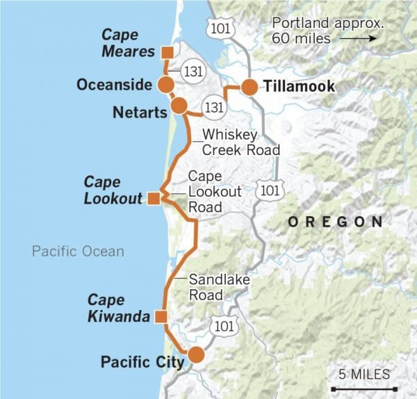
The 7.3-acre site lies between the Pacific Ocean to the west and homes on a steep slope to the east. Cape Meares is to the north and Netarts Bay and Cape Lookout are to the south.
Oceanside is located nine miles west of Tillamook and two miles north of Netarts on Three Capes Scenic Drive, a 20-mile loop of breathtaking scenic wonders.
Maps:
Interactive Google Map
Use the map + – controls to zoom in and out, click and drag the to move the map, use the Map drop-down to change to “Map”, “Satellite”, “Hybrid”, or “Terrain” views. Drag the little man icon from the upper left corner to a map location for street level view.
GPS:
45°27’42.3″ N 123°58’16.564″ W
Hours:
The location is open 24 hours a day.
Cost:
There are no standard fees associated with this park.
Location Contact Information:
Maxwell Point Tunnel Oceanside Beach Photo Gallery
Click Here for full page gallery
More Photographic Destinations in Oregon:
Interactive Google Map
Use the map + – controls to zoom in and out, use the Map drop-down to change to “Map”, “Satellite”, “Hybrid”, or “Terrain” views. Drag the little man icon from the upper left corner to a map location for street level view. Click on a pushpin for more information about the Photographic Destination, then click on the title to go to the location page.
Click Here for Photographic Destinations by State
