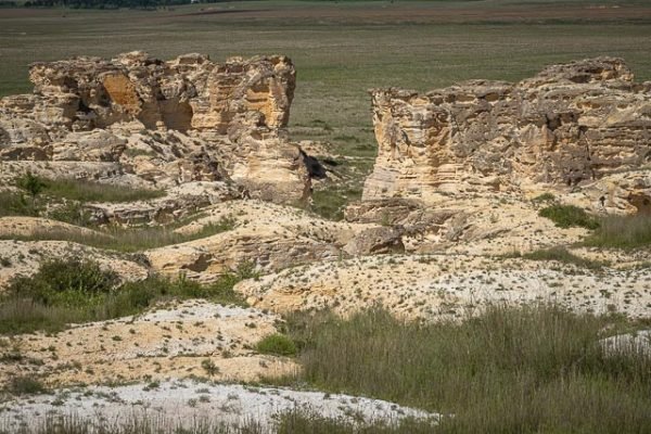
Castle Rock Badlands

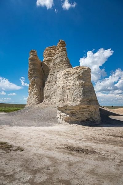
Castle Rock is a large limestone pillar landmark in Gove County, Kansas. The formation and the nearby badlands are located in the Smoky Hills region of Kansas, which is approximately 11 miles south of I-70 near Quinter, Kansas.
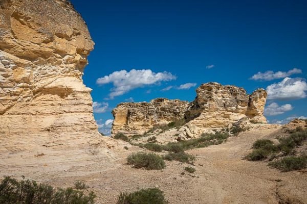
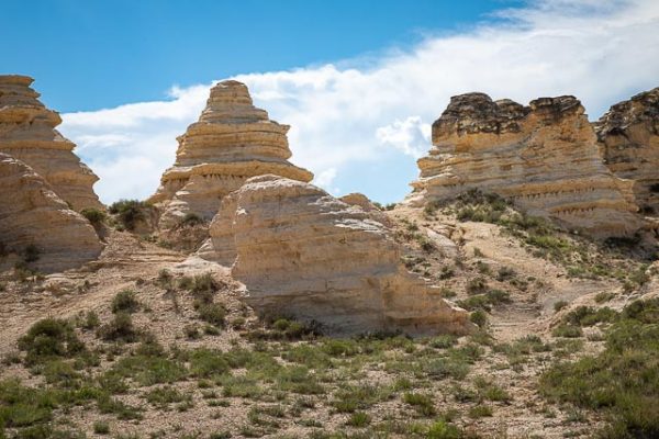
Scattered chalk spires, hoodoos, and walls that tower over the plains in Gove, Logan, and Trego counties are among the state’s most distinctive geologic features. As one of the most notable outliers, Castle Rock in Gove County served as a landmark for early travelers on the Smoky Hill Trail, which was used for a short time as a stagecoach line by the Butterfield Overland Despatch.
Carved by water, wind, and other environmental forces, Castle Rock is part of the Smoky Hill Chalk Member of the Niobrara Chalk. The massive layers of chalk formed from sediments deposited on the bottom of a great inland sea that covered much of western North America during the later part of the Cretaceous Period, about 80 million years ago.
In the late 1800s, the Smoky Hill Chalk was the focus of a flurry of paleontological activity that produced fossils of sharks, turtles, fish, mosasaurs (large swimming reptiles), and pterosaurs. Although spectacular fossils are still being found in the region, Inoceramus (clams) and other marine shelled animals are much more common.
The Castle Rock spires and other remnants of the Cretaceous sea floor will last well beyond the 21st century, but erosion from wind and water continues to wear them down. In 1998, a hoodoo in the badlands known as Cobra Rock collapsed, and in 2001 the top of Castle Rock’s tallest spire toppled after a thunderstorm.
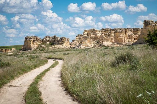
A chalk badland overlooking Castle Rock provides further opportunity for exploration. Although the landowner graciously allows access to Castle Rock and the badlands, visitors should keep in mind they are on private property. The roads to Castle Rock are unpaved and may be impassible in wet weather.
Castle Rock was a landmark on the Butterfield Overland Despatch route (Overland Trail). The chalk was deposited in the area by an ancient inland sea. The formation was formed by the weathering of the chalk by wind and water. It received its name because it is said to look like a castle rising above the prairie.
In 2007, the Kansas Sampler Foundation selected Castle Rock as one of the Eight Wonders of Kansas.
There is a loop road or trail that makes a circle all the way around the badlands. The road is rough and rutted and a high clearance vehicle is recommended.
This is private land, so please treat it with respect.
Where it is:
From 1-70 take the Quinter Exit (107) south on Castle Rock Road for 14.6 miles. Turn east and go 4 miles to the Castle Rock outcrop turnoff. Drive 1 mile north to the cattle grate. Follow the road to the right and circle into Hackberry Creek valley and back to the grate (a little over 2 miles). This is private land, so please treat it with respect. These are dirt roads and can be rough and get very muddy in wet weather.
Maps:
Interactive Google Map
Use the map + – controls to zoom in and out, click and drag the to move the map, use the Map drop-down to change to “Map”, “Satellite”, “Hybrid”, or “Terrain” views. Drag the little man icon from the upper left corner to a map location for street level view.
Hours:
Location Contact Information:
There is no contact information for the location.
Facilities:
Castle Rock Photo Gallery
Click Here for full page gallery
More Photographic Destinations in Kansas
Interactive Google Map
Use the map + – controls to zoom in and out, use the Map drop-down to change to “Map”, “Satellite”, “Hybrid”, or “Terrain” views. Drag the little man icon from the upper left corner to a map location for street level view. Click on a pushpin for more information about the Photographic Destination, then click on the title to go to the location page.
Click Here for Photographic Destinations by State


