Mammoth Cave National Park

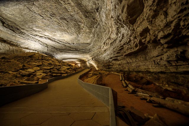
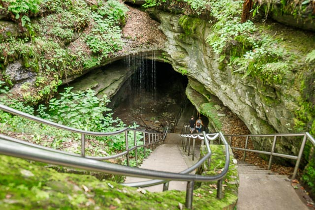
Mammoth Cave National Park preserves the cave system, a part of the Green River Valley, and the rolling hills of south central Kentucky. While cave tours of the 10 miles available in the cave are the park’s big attraction, there is plenty more to do and explore while visiting this beautiful wilderness area, such as hiking, camping, horseback riding, fishing and kayaking.
In 1926, a group of private citizens formed Mammoth Cave National Park Association to protect the park. Mammoth Cave National Park was officially dedicated as a national park by 1941. It then became a World Heritage Site in 1981 and an International Biosphere Reserve in 1990.
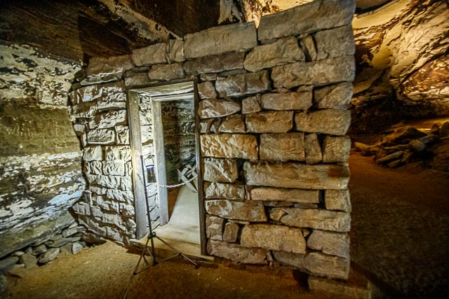
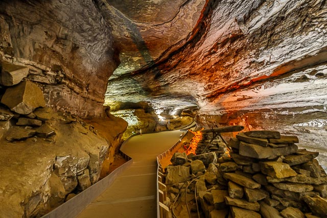
The National Park Service offers several cave tours to visitors. Some notable features of the cave, such as Grand Avenue, Frozen Niagara, and Fat Man’s Misery, can be seen on lighted tours ranging from one to six hours in length. Two tours, lit only by visitor-carried paraffin lamps, are popular alternatives to the electric-lit routes. Several “wild” tours venture away from the developed parts of the cave into muddy crawls and dusty tunnels.
Where it is:
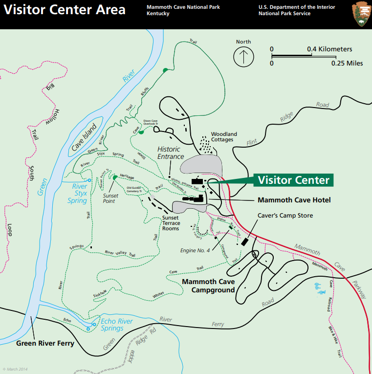
From the north, take I65 to exit 53 (the Cave City exit). Then turn right onto KY-70, and follow it as it becomes Mammoth Cave Parkway. From southbound I65, take exit 48 (the Park City exit). Then, turn left onto KY-255 and follow it as it becomes the Park City Road into the park.
Do not rely on your mobile GPS or web based mapping applications. These services often lead visitors off track onto routes requiring river crossings via ferry or onto narrow winding roads not suitable for large vehicles.
Photography Information:
No flash photography is allowed.
Tripods and monopods are not allowed.
With modern digital cameras you can get photos by using a high ISO speed and holding your camera very steady. Having a camera or lens with image stabilization is also a recommended.
GPS:
Lat/Long: N 37° 11′ 13.115” ¦ W 86° 06′ 05.197”
Decimal Degrees: +37.186976 ¦ -86.101444
UTM (Zone 16N, NAD83): 579779.491 ¦ 4115977.605 m
Maps:
Interactive Google Map
Use the map + – controls to zoom in and out, click and drag the to move the map, use the Map drop-down to change to “Map”, “Satellite”, “Hybrid”, or “Terrain” views. Drag the little man icon from the upper left corner to a map location for street level view.
Hours:
Location Contact Information:
By Email
Ask a question or leave a comment. We usually reply to emails within two weeks.
By Phone
Cave Tour and Campground Reservations: (877) 444-6777 or visit www.recreation.gov
Mammoth Cave Visitor Center: (270) 758-2180
Reporting Line: (270) 758-2168 (To report hazards or suspicious activity to the park)
Green River Ferry Hotline: (270) 758-2166
By Mail
Mammoth Cave National Park
P.O. Box 7
1 Mammoth Cave Parkway
Mammoth Cave, KY 42259
Facilities:
Photo Gallery
Click Here for full page gallery
More Photographic Destinations in Kentucky Interactive Google Map
Use the map + – controls to zoom in and out, use the Map drop-down to change to “Map”, “Satellite”, “Hybrid”, or “Terrain” views. Drag the little man icon from the upper left corner to a map location for street level view. Click on a pushpin for more information about the Photographic Destination, then click on the title to go to the location page.
Click Here for Photographic Destinations by State