Cable Mill Great Smoky Mountains National Park

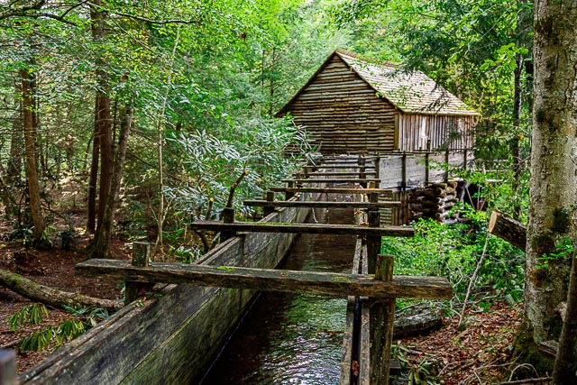
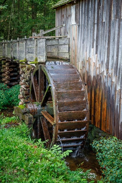
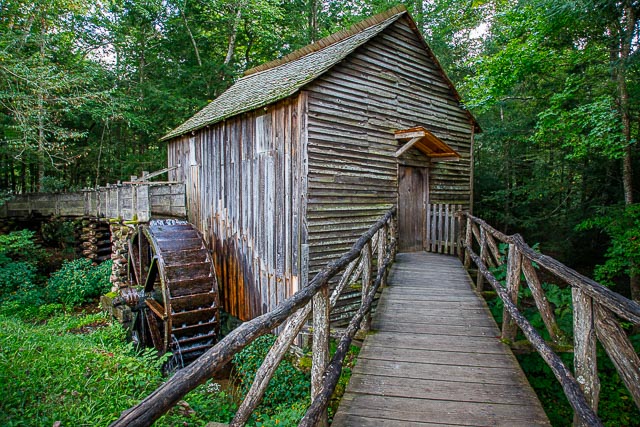
The Cable Mill was one of the most successful — and enduring — grist mills in Cades Cove, built in 1867 by its namesake, John Cable. The mill, which processed logs, wheat and corn and was originally operated by millwright Daniel Ledbetter, continued to function in some fashion until the 1920s, and was actually still — informally — in use when the Park was formed.
Renovations about the middle of the last century and the replacement of the mill wheel has ensured the mill continues to operate much as it did almost 150 years ago.
The John Cable Mill served as a valuable social outlet as well as a commodity source. Cove residents would gather once a week, usually Saturday, and have their grain or corn processed into meal and flour for a fee of 8 percent of whatever was ground. This was not just a place to get your corn ground; other than church, this was the social outlet, they’d talk about the same things we do today — each other, crops, who was sick, who was getting married.
Where it is:
The mill is located on the Cades Cove Loop in the Great Smokey Mountain Nat. Park. Take Old State Hwy 73/E. Lamar Alexander Pkwy east-southeast of Townsend, Tn. for about 3.5 miles. Turn right on Laurel Creek Road and go 11-12 miles to Cades Creek Loop. Follow the one-way loop road to the mill at the far side of the loop, near Forge Creek Road junction. Follow signs.
Because of slow moving traffic it may take over an hour to drive six miles from the start of Cades Cove Loop Road to Cades Cove Visitor Center/Cable Mill Area. Plan accordingly.
Maps:
Interactive Google Map
Use the map + – controls to zoom in and out, click and drag the to move the map, use the Map drop-down to change to “Map”, “Satellite”, “Hybrid”, or “Terrain” views. Drag the little man icon from the upper left corner to a map location for street level view.
Hours:
Hours: 9:00-5:00
Location Contact Information:
By Mail
Great Smoky Mountains National Park
107 Park Headquarters Road
Gatlinburg, TN 37738
By Phone
Recorded information: (865) 436-1200
Road Updates: (865) 436-1200 select 2, then 2 again
Emergencies: 911
Facilities:
Photo Gallery
Click Here for full page gallery
More Photographic Destinations in Tennessee Interactive Google Map
Use the map + – controls to zoom in and out, use the Map drop-down to change to “Map”, “Satellite”, “Hybrid”, or “Terrain” views. Drag the little man icon from the upper left corner to a map location for street level view. Click on a pushpin for more information about the Photographic Destination, then click on the title to go to the location page.
Click Here for Photographic Destinations by State


