Fort Mantanzas National Monument

Fort Matanzas National Monument was designated a United States National Monument on October 15, 1924. The monument consists of a 1740 Spanish fort called Fort Matanzas, and about 100 acres of salt marsh and barrier islands along the Matanzas River on the northern Atlantic coast of Florida. It is operated by the National Park Service in conjunction with the Castillo de San Marcos National Monument in the city of St. Augustine.
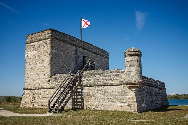
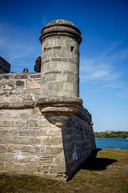
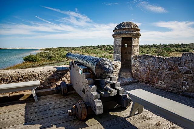
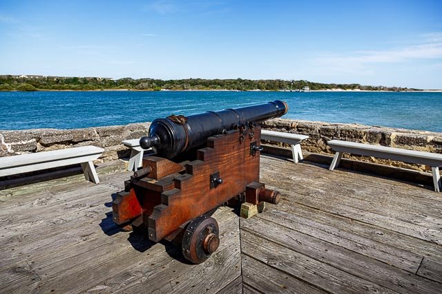
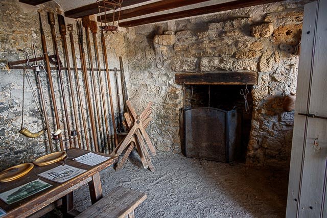
Fort Matanzas was built by the Spanish in 1742 to guard Matanzas Inlet, the southern mouth of the Matanzas River, which could be used as a rear entrance to the city of St. Augustine. Such an approach avoided St. Augustine’s primary defense system, centered at Castillo de San Marcos. In 1740, Gov. James Oglethorpe of Georgia used the inlet to blockade St. Augustine and launch a thirty-nine-day siege. St. Augustine endured the siege, but the episode convinced the Spanish that protecting the inlet was necessary to the security of the town. Under Gov. Manuel de Montiano’s orders, construction of the fort began that year and was completed in 1742. Engineer Pedro Ruiz de Olano, who had worked on additions to the Castillo de San Marcos, designed the fortified observation tower. Convicts, slaves, and troops from Cuba were used as labor to erect the structure, which was sited on present-day Rattlesnake Island[8] and had a commanding position over Matanzas Inlet.
Where it is:
Fort Matanzas National Monument is located about 14 miles south of the historic district of St. Augustine, Florida. St. Augustine is located on Florida’s Northeastern Atlantic coast about midway between Jacksonville and Daytona Beach. They physical address is 8635 A1A South, St. Augustine, FL 32080.
From I-95: Take exit 305 (Route 206). Follow Route 206 east about 6 miles to Highway A1A. Turn right and follow A1A south for 4 miles to the park entrance on the right side of the road.
From St. Augustine: Follow Highway A1A south for approximately 14 miles to the park entrance on the right side of the road.
From Daytona Beach via A1A: Follow Highway A1A about 40 miles north. The park entrance is on the left about 1/2 mile north of the Matanzas Inlet bridge.
GPS:
29°42’55.2114″ N 81°14’22.2303″ W
Maps:
Interactive Google Map
Use the map + – controls to zoom in and out, click and drag the to move the map, use the Map drop-down to change to “Map”, “Satellite”, “Hybrid”, or “Terrain” views. Drag the little man icon from the upper left corner to a map location for street level view.

Hours:
Cost:
Boarding Pass – There are no fees to enter the park or to take the ferry to the fort. The 36-passenger ferry operates with a Boarding Pass system. The passes are issued from the Fort Matanzas Visitor Center (not the St. Augustine city Visitor Center) on a first come, first served basis. Family members of all ages must have a pass to board the ferry.
Location Contact Information:
Mailing Address:
8635 A1A South
St Augustine, FL
32080
Phone Numbers:
Headquarters (Castillo de San Marcos and Fort Matanzas National Monuments): 904-829-6506, x227
Fort Matanzas Visitor Center and Office: 904-471-0116
Fax: 904-471-7605
E-mail:
Click here to send an electronic message
Facilities:
Fort Mantanzas
National Monument Photo Gallery
Click Here for full page gallery
More Photographic Destinations in Florida
Interactive Google Map
Use the map + – controls to zoom in and out, use the Map drop-down to change to “Map”, “Satellite”, “Hybrid”, or “Terrain” views. Drag the little man icon from the upper left corner to a map location for street level view. Click on a pushpin for more information about the Photographic Destination, then click on the title to go to the location page.
Click Here for Photographic Destinations by State