Caddo Lake

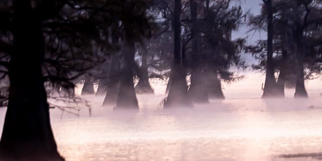
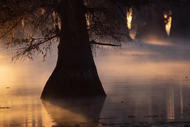
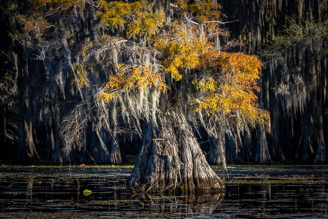
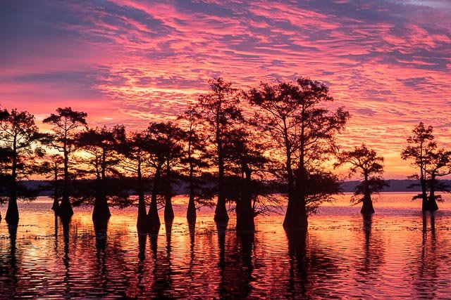
Caddo Lake is a truly unique photography destination. Bald cypress trees draped with Spanish moss tower over the maze of bayous, sloughs and ponds of Caddo Lake.
Caddo Lake (French: Lac Caddo) is a 25,400-acre lake and bayou (wetland) on the border between Texas and Louisiana. The lake is named after the Southeastern culture of Native Americans called Caddoans or Caddo, who lived in the area until their expulsion in the 19th century. It is an internationally protected wetland and includes one of the largest flooded cypress forests in the United States.
According to Caddo legend, the lake was formed by the 1811–12 New Madrid earthquakes. There may be some truth to the legend, as Reelfoot Lake in Tennessee was formed by that earthquake. Most geologists feel the lake was formed, either gradually or catastrophically, by the “Great Raft”, a 100-mile log jam on the Red River in Louisiana, possibly by flooding the existing low-lying basin.
Caddo Lake has been utilized by Native Americans for thousands of years, but substantial commercial development would only begin with invention of the steamboat and US annexation of Louisiana and Texas by treaty in the 19th century. The cities of Port Caddo, Swanson’s Landing, and Jefferson in Texas, and Mooringsport in Louisiana, had thriving riverboat ports on the lake. Gradually as the log jams were removed in the lake and on the Red River by Captain Henry Miller Shreve and then by the Army Corps of Engineers, the lake changed shape and eventually fell over 10 feet, destroying the East Texas ports and their riverboat industry.
Industry once again came to Caddo Lake with the discovery of oil beneath it. The world’s first over water oil platform was completed in Caddo Lake in 1911. The Ferry Lake No. 1 was erected by Gulf Refining Company. The well bottomed at 2,185 feet and produced 450 barrels per day.
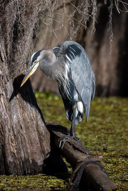
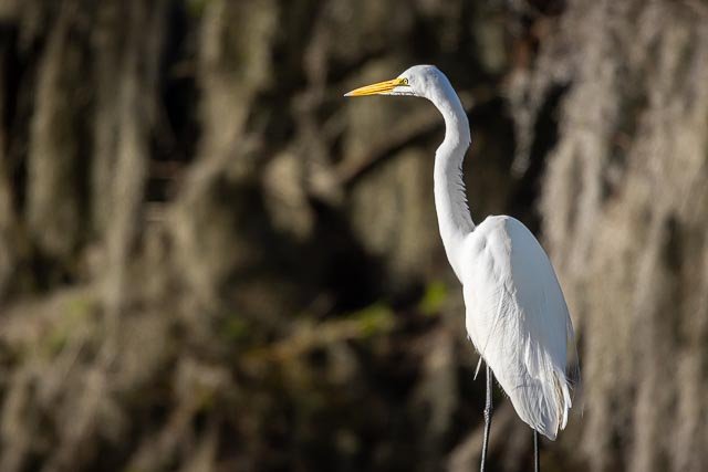
Wildlife inhabiting Caddo Lake includes owls, snakes, frogs, waterfowl, bobcats, river otters, beavers, eagles, and alligators.
The lake is currently “under siege” by a fast-spreading, Velcro-like aquatic fern, Salvinia molesta, also known as Giant Salvinia. Accidentally introduced to the lake by boaters, the noxious weed doubles in size every two to four days, rapidly killing off life below the surface. Efforts at removing the weed have included biological means via beetles that normally eat the weed but cannot survive the Texas cold and now include herbicide.
Photography Information:
In order to fully experience the haunting beauty of Caddo Lake you need to travel the lake by boat. I would definitely recommend a guided sunrise boat tour for photography, if you don’t know the lake you could easily get lost.
Where it is:
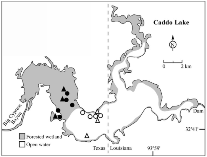
Caddo Lake is located between Marshall, Texas and Shreveport, Louisiana in Uncertain, Texas. The Texas side of the lake is the major swamp area while the Louisiana side is more open water.
Directions to Shady Glade Resort
| From Shreveport, LA
Take I-20 west bound 21.5 miles and take FM-134/Caddo Lake exit. Turn right onto FM-134 heading north and go 10 miles. In Leigh community, FM-134 makes a left turn. Turn left and follow FM-134 5.0 miles to Karnack. In Karnack, turn right on Old FM-134, which is 2 blocks north of the Post Office. Go .2 miles and turn right on FM-2198. Follow FM-2198 for 4.4 miles and turn left on Cypress Drive. Go 1/2 mile to Shady Glade Resort.
|
| From Dallas, TX
Take I-20 East and go approximately 120 miles to US-59/Marshall, TX exit. Turn left on US-59 and go 4.3 miles to Texas Hwy 43. Turn right on TX-43 and go 13.5 miles to FM-2198. Turn right on FM-2198 and go 4.8 miles to Cypress Drive. Turn left on Cypress Drive and go 1/2 mile to Shady Glade Resort.
|
| From Houston, TX
Take US-59 North 220 miles to Marshall, TX. Turn right on Texas Hwy 43 and go 13.5 miles to FM-2198. Turn right on FM-2198 and 4.8 miles to Cypress Drive. Turn left on Cypress Drive and go 1/2 mile to Shady Glade Resort. |
| From Oklahoma City, OK
Take I-40 East 86.3 miles and merge onto Indian Nation Turnpike south. Go 88.5 miles to Antlers, OK. Stay on the Indian Nation Turnpike south for 16 miles. Indian Nation Turnpike will become US-271 south. Take US-271 south towards Hugo/Paris and go 22.8 miles. Take the US-82E/TX-286 Loop E/US-271S ramp. Merge onto US-271 south and go 52.3 miles to Mt. Pleasant, TX. Stay straight and exit onto TX-49. Go 48.8 miles to Jefferson, TX. At the intersection with US-59, continue strait and US-49 becomes Polk St. Follow Polk St for approximately 1/2 mile and bear right thru downtown Jefferson. Continue for approximately 1-1/4 miles and turn left on FM-134. Go 11.5 miles to the intersection with Hwy 43. Continue thru the intersection and the road becomes FM-2198. Go 4.4 miles and turn left on Cypress. Go 1/2 mile to Shady Glade Resort.
|
| From Little Rock, AR
Take I-30 west and go 141.3 miles. Take the US-59 south exit and go 20.6 miles. Take TX-43 south and go 30.6 miles. Turn left on FM-2198 and go 4.8 miles. Turn left on Cypress Drive. Go 1/2 mile to Shady Glade Resort.
|
Maps:
Interactive Google Map
Use the map + – controls to zoom in and out, click and drag the to move the map, use the Map drop-down to change to “Map”, “Satellite”, “Hybrid”, or “Terrain” views. Drag the little man icon from the upper left corner to a map location for street level view.
GPS:
Shade Glade Resort Café and Marina. 32°42’45.906″ N 94°7’12.528″ W
Cost:
There is no cost to boat on Caddo Lake.
Caddo Lake State Park
- Adult: $4 Daily
- Child 12 Years and Under: Free
Hours:
The lake is always open.
Facilities:
There are several restaurants and marinas in Uncertain Texas.
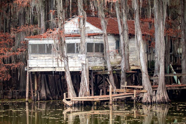
Dick and Charlie’s Tea Room. The house was built some time in the early 1900’s. Water taxis and beer boats from Marion and Harrison counties would deliver customers to the house for drinking and dancing. The stilt house is used in the opening scene of the series, “True Blood,” and was also recently featured on an episode of “Treehouse Master’s.”The sign posted on Dick and Charlie’s Team Room says:
House Rules:
There Ain’t None
There Never Was None
There Ain’t Gonna Be None
Location Contact Information:
Caddo Lake Photo Gallery
Click Here for full page gallery
More Photographic Destinations in Texas:
Interactive Google Map
Use the map + – controls to zoom in and out, use the Map drop-down to change to “Map”, “Satellite”, “Hybrid”, or “Terrain” views. Drag the little man icon from the upper left corner to a map location for street level view. Click on a pushpin for more information about the Photographic Destination, then click on the title to go to the location page.
Click Here for Photographic Destinations by State

