Vicksburg National Military Park

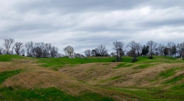
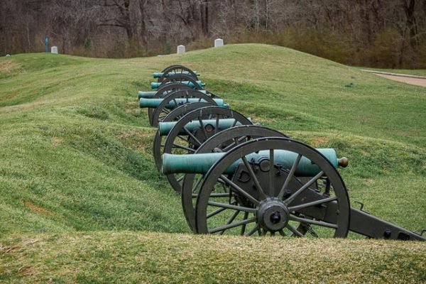
Vicksburg National Military Park preserves the site of the American Civil War Battle of Vicksburg, waged from March 29 to July 4, 1863. The park, located in Vicksburg, Mississippi (flanking the Mississippi River), also commemorates the greater Vicksburg Campaign which led up to the battle. Reconstructed forts and trenches evoke memories of the 47-day siege that ended in the surrender of the city. Victory here and at Port Hudson, farther south in Louisiana, gave the Union control of the Mississippi River.
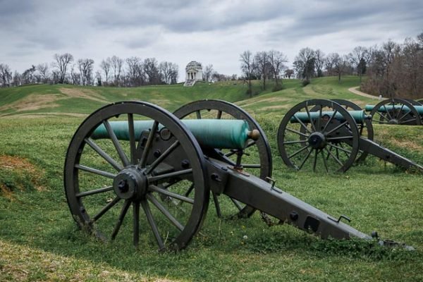
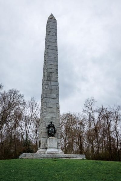
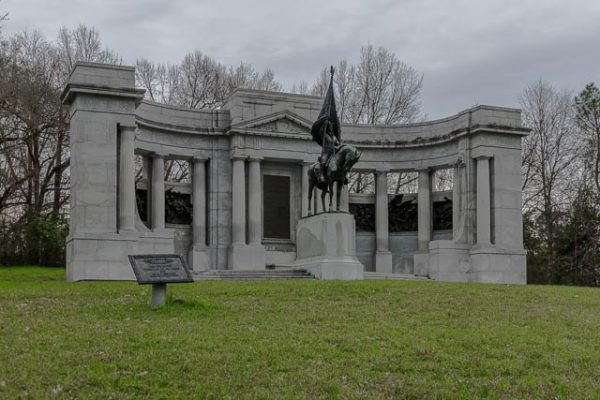
The park includes 1,325 historic monuments and markers, 20 miles of historic trenches and earthworks, a 16-mile tour road, a 12.5-mile walking trail, two antebellum homes, 144 emplaced cannons, the restored gunboat USS Cairo (sunk on December 12, 1862, on the Yazoo River), and the Grant’s Canal site, where the Union Army attempted to build a canal to let their ships bypass Confederate artillery fire.
The Cairo, also known as the “Hardluck Ironclad,” was the first U.S. ship in history to be sunk by a torpedo/mine. It was recovered from the Yazoo in 1964.
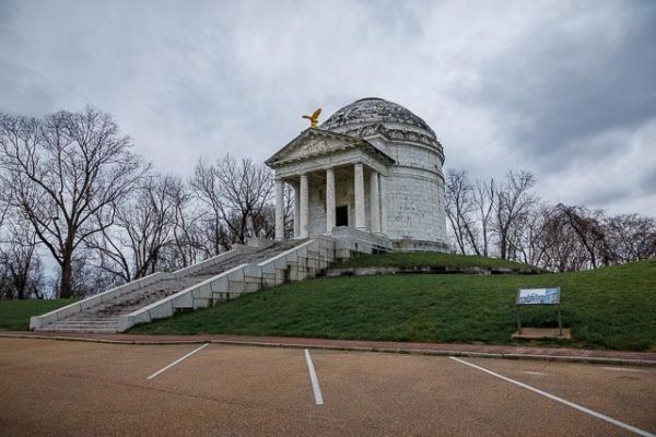
The Illinois State Memorial has 47 steps, one for every day Vicksburg was besieged.
Where it is:
Vickburg National Military Park is located in Vicksburg Mississippi.
Directions to Vicksburg:
From the east — Take Interstate 20 west to Vicksburg, Mississippi. Use exit ramp 4B. Follow Clay Street (US-80) west 0.25 miles to park entrance.
From the north — Take Interstate 55 south to Jackson, Mississippi. (To save time, use Interstate 220 bypass on west side of Jackson.) Take Interstate 20 west to Vicksburg (approximately 40 miles). Use exit ramp 4B. Follow Clay Street (US-80) west 0.25 miles to park entrance.
From the south — Take Interstate 55 or US Highway 49 to Jackson, Mississippi. Take Interstate 20 west to Vicksburg, Mississippi, (approximately 40 miles). Use exit ramp 4B. Follow Clay Street (US-80) west 0.25 miles to park entrance.
From the west — Take Interstate 20 east to Vicksburg, Mississippi. Use exit ramp 4B. Follow Clay Street (US-80) west 0.25 miles to park entrance.
Maps:
Interactive Google Map
Use the map + – controls to zoom in and out, click and drag the to move the map, use the Map drop-down to change to “Map”, “Satellite”, “Hybrid”, or “Terrain” views. Drag the little man icon from the upper left corner to a map location for street level view.
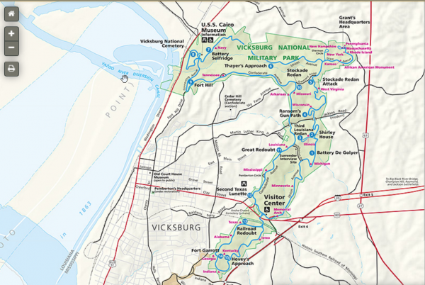
Click map for interactive park service map.
GPS:
32°20’41.0854″ N 90°51’5.5239″ W
Cost:
Entrance Fees:
Per Vehicle – $20.00 (valid 7 days)
Pedestrians, Bicycles – $10.00
Bus Passenger/Church Van – $10.00 per person, not to exceed commercial rate below.
Hours:
Tour Road is open to vehicles from 8am-5pm. Last vehicle entry on the tour road is 4:45pm.
Park Roads are open to pedesterians and bicyclists from sunrise to sunset.
Facilities:
There are all facilities in Vicksburg and the park is located right in Vicksburg. There is also a visitor center with park store and restrooms.
Location Contact Information:
Vicksburg National Military Park Photo Gallery
Click Here for full page gallery
More Photographic Destinations in Mississippi:
Interactive Google Map
Use the map + – controls to zoom in and out, use the Map drop-down to change to “Map”, “Satellite”, “Hybrid”, or “Terrain” views. Drag the little man icon from the upper left corner to a map location for street level view. Click on a pushpin for more information about the Photographic Destination, then click on the title to go to the location page.
Click Here for Photographic Destinations by State
