Groveton Covered Bridge
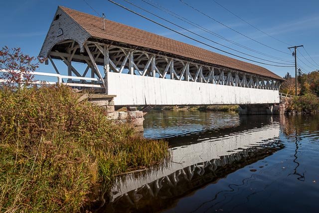
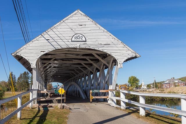
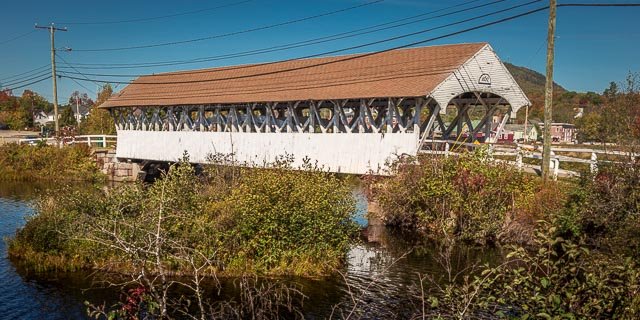
The Groveton Covered Bridge is located in Groveton Village, in the town of Northumberland. Built in 1852 by Captain Charles Richardson and his son, the Groveton Bridge is 126 feet long, has a clear span of just over 108 feet, and its overall width is 21 feet. The bridge spans the upper Ammonoosuc River, and connects Route 3 in Northumberland to Route 110 in Groveton.
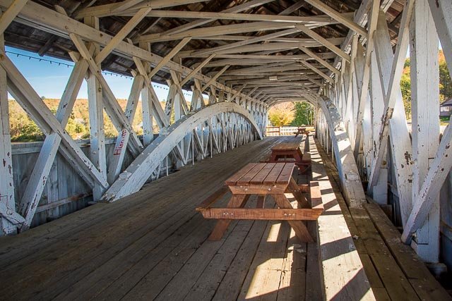
The Groveton Bridge is an example of a Paddleford truss bridge, a truss style developed by Peter Paddleford of Littleton, New Hampshire. The Paddleford truss, found only in New England, is an unpatented regional variant of the Long truss style that was originally developed by Stephen H. Long. The Long truss is made entirely of wood and the diagonal members are under compression while vertical members are in tension. The fact that almost all Paddleford truss bridges, including the Groveton Covered Bridge, eventually required strengthening suggests an inherent design flaw. Fortunately, the flaws were able to be remediated with relative ease by adding Burr arches to the structures. The Burr arch, invented in 1804 by Theodore Burr, is a combination of an arch and multiple kingposts, one of the simplest truss styles consisting of two angled supports leaning into a common vertical support.
The Groveton Bridge was bypassed following the reconstruction of Route 3 in 1939. Covered bridge restoration experts, Milton Graton and his son, Arnold, repaired the bridge between the years of 1964 and 1965.
Historically, covered bridges were a popular infrastructure investment towns made throughout New England and the northeast. Timber was an abundant resource, and the remote location of the desired crossing often necessitated a small bridge. The humid Northeastern climate favored wooden construction, and in order to keep a wooden bridge sound for a much longer period of time, the bridge was constructed with a roof which protected it from the elements, allowing a covered bridge to be used for a century or more. The Groveton Covered Bridge is no exception, as the bridge has remained a sound structure (with repairs) for over 160 years.
Where it is:
East of U.S. Route 3 in the village of Groveton/Northumberland New Hampshire over the Ammonoosue River.
Maps:
Interactive Google Map
Use the map + – controls to zoom in and out, click and drag the to move the map, use the Map drop-down to change to “Map”, “Satellite”, “Hybrid”, or “Terrain” views. Drag the little man icon from the upper left corner to a map location for street level view.
GPS:
44°35’44.502″ N 71°30’39.282″ W
Cost:
There is no cost to visit the bridge.
Groveton Covered Bridge Photo Gallery
Click Here for full page gallery
More Photographic Destinations in New Hampshire
Interactive Google Map
Use the map + – controls to zoom in and out, use the Map drop-down to change to “Map”, “Satellite”, “Hybrid”, or “Terrain” views. Drag the little man icon from the upper left corner to a map location for street level view. Click on a pushpin for more information about the Photographic Destination, then click on the title to go to the location page.
Click Here for Photographic Destinations by State


