Nubble Lighthouse

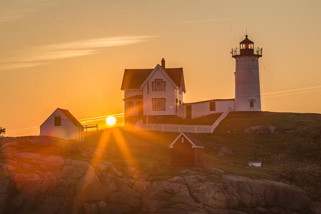
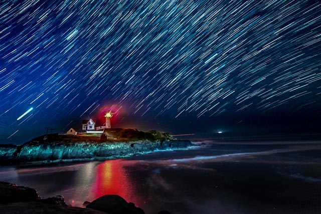
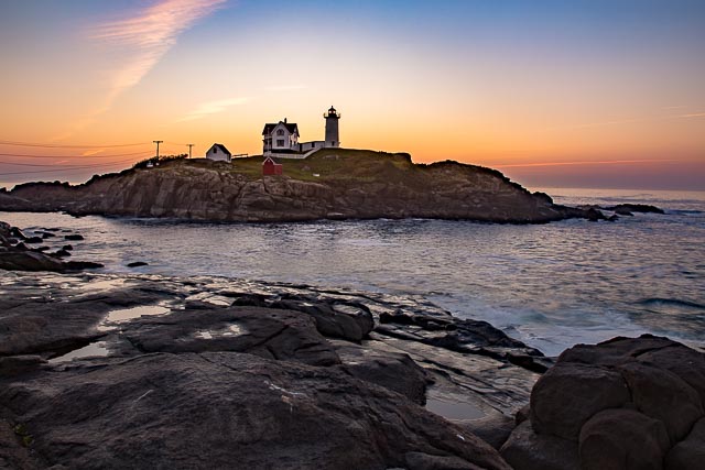
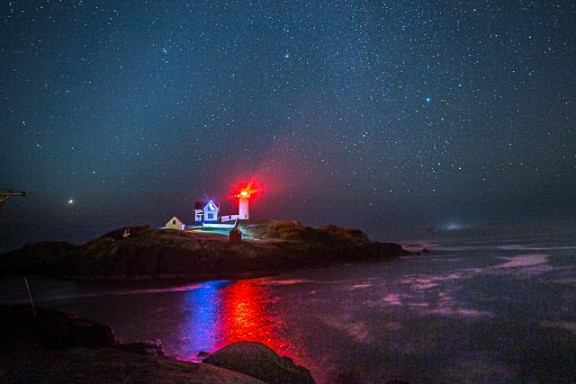
Nubble Light, also known as Cape Neddick Light Station. The park that overlooks this picturesque lighthouse is called Sohier Park.
The lighthouse itself is not accessible to the public but can be photographed and enjoyed from Sohier Park.
The Cape Neddick Light is a lighthouse in Cape Neddick, York, Maine, it is commonly known as “Nubble Light” or simply “the Nubble”. In 1874 Congress appropriated $15,000 to build a light station at the “Nubble” and in 1879 construction began. Cape Neddick Light Station was dedicated by the U.S. Lighthouse Service and put into use in 1879. It is still in use today.
Plans had been in the works to build a lighthouse on the site since 1837. The tower is lined with brick and sheathed with cast iron. It stands 41 feet tall but the light is 88 feet above sea level because of the additional height of the steep rocky islet on which it sits. Unusually, the stanchions of the walkway railing around the lantern room are decorated with 4-inch brass replicas of the lighthouse itself.
Nubble Light is a famous American icon and a classic example of a lighthouse. The Voyager spacecraft, which carries photographs of Earth’s most prominent man-made structures and natural features, should it fall into the hands of intelligent extraterrestrials, includes a photo of Nubble Light with images of the Great Wall of China and the Taj Mahal.
Cape Neddick Light is one of the last eight lights in Maine to still have its Fresnel lens. It was added to the National Register of Historic Places as Cape Neddick Light Station on April 16, 1985
Where it is:
The Cape Neddick Light stands on Nubble Island about 100 yards off Cape Neddick Point.
Cape Neddick Point is at the north end of Long Sands Beach in the village of York Beach. The lighthouse is inaccessible to the general public, but the nearby mainland is occupied by Sohier Park which offers a telescope with which to view the lighthouse and a gift shop with a “Nubble” theme.
Maps:
Interactive Google Map
Use the map + – controls to zoom in and out, click and drag the to move the map, use the Map drop-down to change to “Map”, “Satellite”, “Hybrid”, or “Terrain” views. Drag the little man icon from the upper left corner to a map location for street level view.
GPS:
43°9’55.728″ N 70°35’34.896″ W
Cost:
There is no cost to visit the park.
Hours:
Nubble Lighthouse Photo Gallery
Click Here for full page gallery
More Photographic Destinations in Maine
Interactive Google Map
Use the map + – controls to zoom in and out, use the Map drop-down to change to “Map”, “Satellite”, “Hybrid”, or “Terrain” views. Drag the little man icon from the upper left corner to a map location for street level view. Click on a pushpin for more information about the Photographic Destination, then click on the title to go to the location page.
Click Here for Photographic Destinations by State


