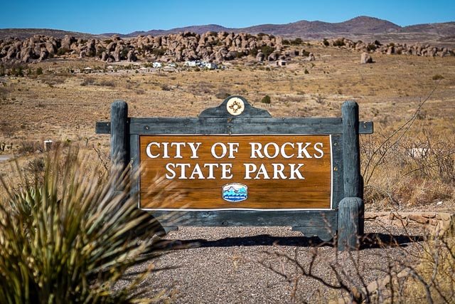
City of Rocks

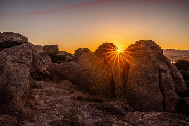
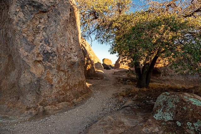
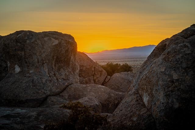
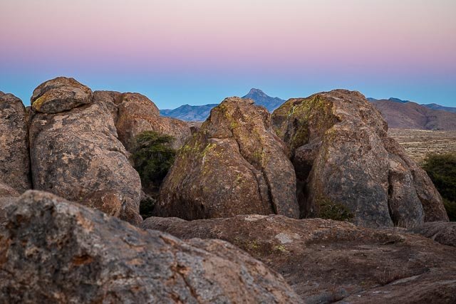
City of Rocks gets its name from the incredible volcanic rock formations found here. The park encompasses a one square mile area in the scenic Chihuahuan desert region of southwestern New Mexico at an elevation of 5,200 feet. The “city” is a geologic formation made up of large, sculptured rock columns, or pinnacles, rising as high as 40 feet and separated by paths or lanes resembling city streets. These rocks were formed about 34.9 million years ago when a very large volcano erupted. Then, erosion over millions of years slowly formed the sculptured columns seen today, creating a stunning, otherworldly landscape.
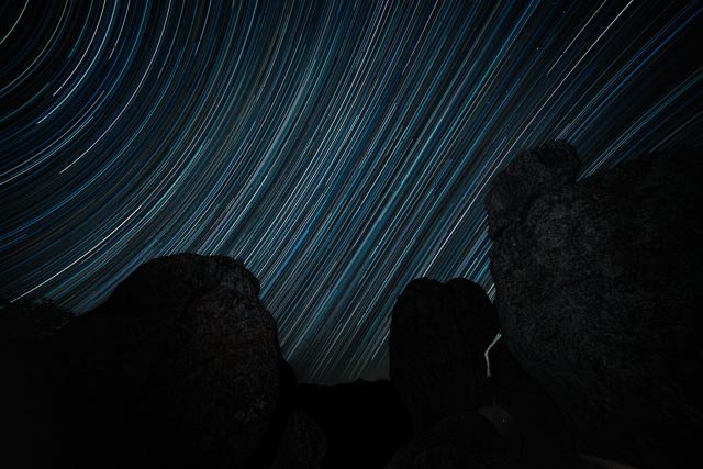
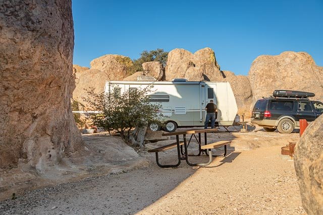
City of Rocks offers camp sites, hiking trails, excellent mountain biking, wildlife viewing, birding, stargazing, picnic areas and a desert botanical garden. The uniquely designed, new Visitor Center includes a large display area and modern restrooms with hot showers. City of Rocks State Park is your official sponsor of adventure!
Where it is:
Located about halfway between Silver City and Deming.
To get to City of Rocks State Park from Deming, take US 180 northwest 24-miles; then go northeast on NM 61 for four-miles to the park access road.
Maps:
Interactive Google Map
Use the map + – controls to zoom in and out, click and drag the to move the map, use the Map drop-down to change to “Map”, “Satellite”, “Hybrid”, or “Terrain” views. Drag the little man icon from the upper left corner to a map location for street level view.
GPS:
32°34’57.126″ N 107°58’20.82″ W
Cost:
Day Use $5 per day.
Annual Day Use Pass – $40
Good for 12 months from month of purchase: all parks except Living Desert Zoo & Gardens
Annual Camping Pass
In State – $180; Out of State – $225
Good for 12 months from month of purchase
Hours:
City of Rocks Photo Gallery
Click Here for full page gallery
More Photographic Destinations in New Mexico
Interactive Google Map
Use the map + – controls to zoom in and out, use the Map drop-down to change to “Map”, “Satellite”, “Hybrid”, or “Terrain” views. Drag the little man icon from the upper left corner to a map location for street level view. Click on a pushpin for more information about the Photographic Destination, then click on the title to go to the location page.
Click Here for Photographic Destinations by State
