Eagle Harbor Lighthouse

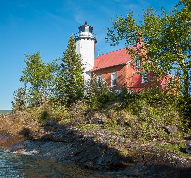
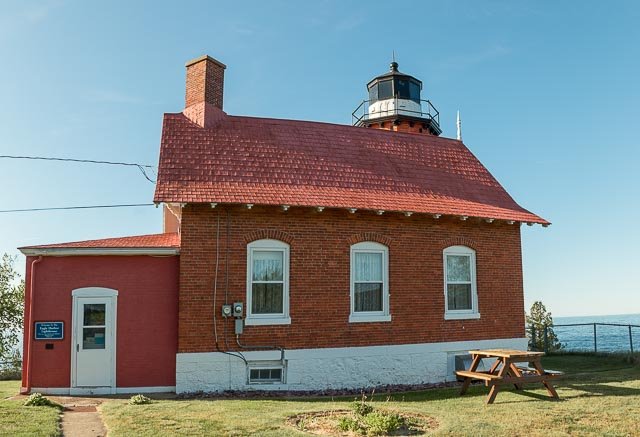
Eagle Harbor Light is an operational lighthouse at Eagle Harbor, in Keweenaw County in the state of Michigan. It sits on the rocky entrance to Eagle Harbor and is one of several light stations that guide mariners on Lake Superior across the northern edge of the Keweenaw Peninsula. The original lighthouse, built in 1851, was replaced in 1871 by the present red brick structure, which is a Michigan State Historic Site and listed on the National Register of Historic Places.
The octagonal brick light tower is ten feet in diameter, with walls 12 inches thick and it supports a 10-sided cast iron lantern. The Lighthouse was manned by a head keeper and two assistant keepers.
In 1999 the Congress of the United States transferred ownership of the Eagle Harbor Light Station to the Keweenaw County Historical Society. The Coast Guard continues to operate the light at the top of the tower.
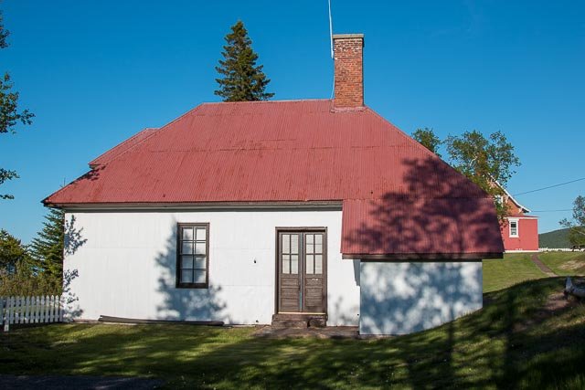
The Keweenaw County Historical Society operates the lighthouse as a museum, and also operates other museums at the site, including the Maritime Museum in the old fog signal building, the Commercial Fishing Museum, the Keweenaw History Museum and an exhibit on the 1926 shipwreck of the City of Bangor.
Where it is:
The Eagle Harbor Lighthouse Complex is located on Lighthouse Drive, not far from the swimming beach along M26 in Eagle Harbor Michigan on the Keweenaw Peninsula.
Maps:
Interactive Google Map
Use the map + – controls to zoom in and out, click and drag the to move the map, use the Map drop-down to change to “Map”, “Satellite”, “Hybrid”, or “Terrain” views. Drag the little man icon from the upper left corner to a map location for street level view.
GPS:
N 47 27.582 W 88 09.558, Decimal Degrees: 47.459705, -88.159300
Cost:
Admission $8.00. Children and KCHS members free.
Hours:
Eagle Harbor Lighthouse Photo Gallery
Click Here for full page gallery
More Photographic Destinations in Michigan
Interactive Google Map
Use the map + – controls to zoom in and out, use the Map drop-down to change to “Map”, “Satellite”, “Hybrid”, or “Terrain” views. Drag the little man icon from the upper left corner to a map location for street level view. Click on a pushpin for more information about the Photographic Destination, then click on the title to go to the location page.
Click Here for Photographic Destinations by State


