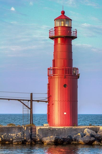
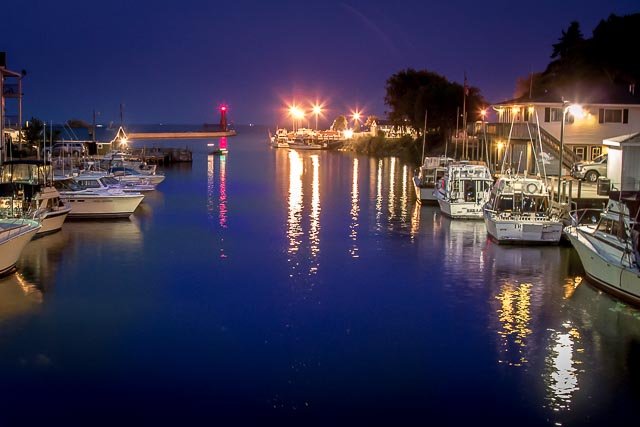
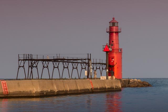
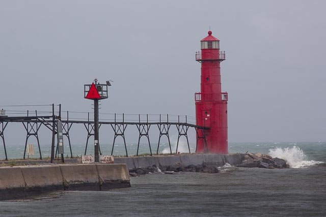
Algoma Pierhead Lighthouse

The Algoma Light or Algoma Pierhead Light is a lighthouse located near Algoma in Kewaunee County, Wisconsin.
The lighthouse was originally a square white wooden tower structure built in 1893 as a set of range lights. It was rebuilt in 1908 as the iconic red lighthouse , at which time it was a conical tower built of 5⁄16-inch steel plate, 8 feet in diameter at the base and 7 feet in diameter at the parapet. It stood 26 feet high. In 1932, it was modified again and the entire structure was raised to a height of 42 feet by placing the older tower on a new steel base 12 feet in diameter, that increased the focal height to forty-two feet. The station was automated in 1973. It is listed as number 20975 in the USCG light lists.
The lighthouse was first established in 1893 as a set of range lights. In 1895, a fifth-order lens replaced the original lantern; increasing the effective range of the light to 11 miles. In 1907, with the keeper’s accommodations still unbuilt, the wooden tower was in a significant state of distress and the decision was made to replace the tower. It was rebuilt in 1908. It stood 26 feet high.
The Fresnel lens remained the source of illumination until June 5, 2019, when it was replaced with an LED light. The Fresnel lens was placed on display at the North Point Lighthouse museum in Milwaukee.
The tower is still an active aid to navigation, and is closed to the public.
Where it is:
From Highway 42 in Algoma, take Navarino Street east to the lake. The street will change names to Steele Street. The lighthouse sits out on a pier, but this is probably the best spot to view it.
Maps:
Interactive Google Map
Use the map + – controls to zoom in and out, click and drag the to move the map, use the Map drop-down to change to “Map”, “Satellite”, “Hybrid”, or “Terrain” views. Drag the little man icon from the upper left corner to a map location for street level view.
GPS:
Cost:
There is no cost to visit the lighthouse.
Hours:
Algoma Pierhead Lighthouse Photo Gallery
Click Here for full page gallery
More Photographic Destinations in Wisconsin
Interactive Google Map
Use the map + – controls to zoom in and out, use the Map drop-down to change to “Map”, “Satellite”, “Hybrid”, or “Terrain” views. Drag the little man icon from the upper left corner to a map location for street level view. Click on a pushpin for more information about the Photographic Destination, then click on the title to go to the location page.
Click Here for Photographic Destinations by State


