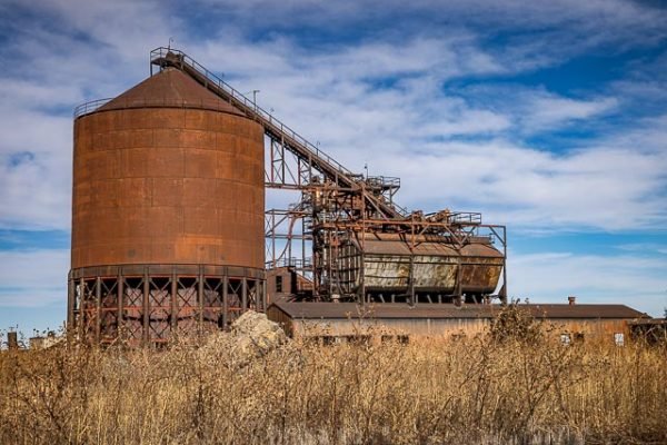
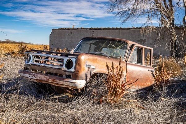
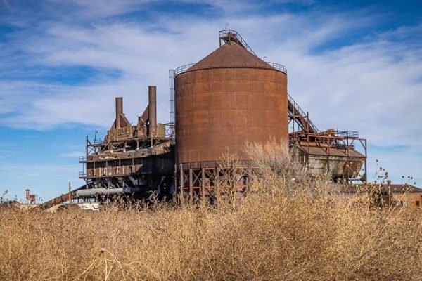
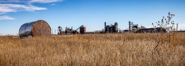
Ryus Kansas Abandoned Carbon Black Plant

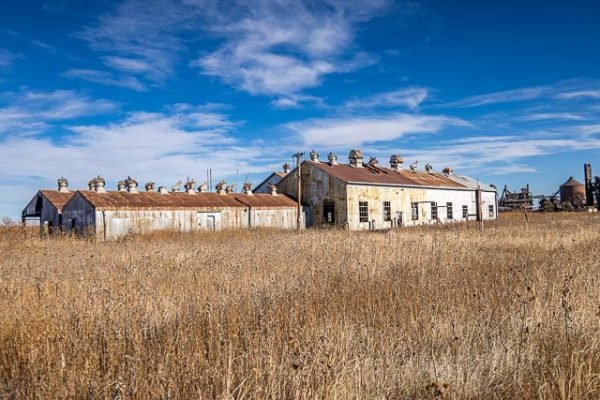
Ryus is an unincorporated community in Grant County Kansas. The town has never had a post office and consists of only a few scattered farm houses and grain elevators with the Cimarron Valley Railroad is based in Satanta, Kansas running through it.
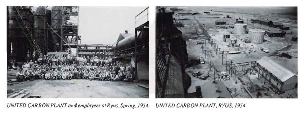
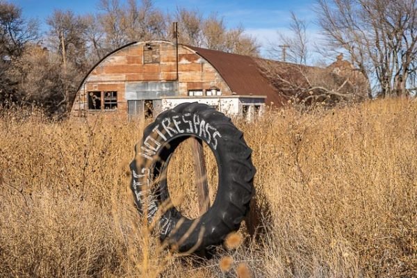
United Carbon opened the largest carbon black plant in the world in 1940 in the southeast part of Grant County Kansas. In the 1960s, United Carbon idled the production of their plant an many families bought and moved the company provided houses to the nearby town of Satanta.
Carbon black is a powdery black carbon material resulting from the incomplete combustion of a heavy hydrocarbon (e.g. tar, fuel oil, etc.), in a combustion zone fueled by air and natural gas. Carbon black has been manufactured from natural gas since the 1870’s.
The most common use (70%) of carbon black is as a pigment and reinforcing phase in automobile tires. Carbon black also helps conduct heat away from the tread and belt area of the tire, reducing thermal damage and increasing tire life. Its low cost makes it a common addition to cathodes and anodes and is considered a safe replacement to lithium metal in lithium-ion batteries. About 20% of world production goes into belts, hoses, and other non-tire rubber goods. The remaining 10% use of carbon black comes from pigment in inks, coatings, and plastics, as well as being used as a conductive additive in lithium-ion batteries
Where it is:
Ryus is an unincorporated community in Grant County, Kansas, United States. It lies in northeastern Sullivan Township at the intersection of the Cimarron Valley Railroad with K-190, 14 miles southeast of the county seat of Ulysses.
Maps:
Interactive Google Map
Use the map + – controls to zoom in and out, click and drag the to move the map, use the Map drop-down to change to “Map”, “Satellite”, “Hybrid”, or “Terrain” views. Drag the little man icon from the upper left corner to a map location for street level view.
GPS:
Ryus Kansas Abandoned Carbon Black Plant
Photo Gallery
Click Here for full page gallery
More Photographic Destinations in Kansas
Interactive Google Map
Use the map + – controls to zoom in and out, use the Map drop-down to change to “Map”, “Satellite”, “Hybrid”, or “Terrain” views. Drag the little man icon from the upper left corner to a map location for street level view. Click on a pushpin for more information about the Photographic Destination, then click on the title to go to the location page.
Click Here for Photographic Destinations by State

