Fort Clinch State Park

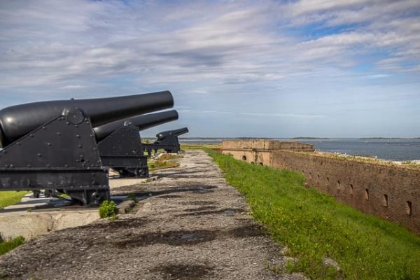
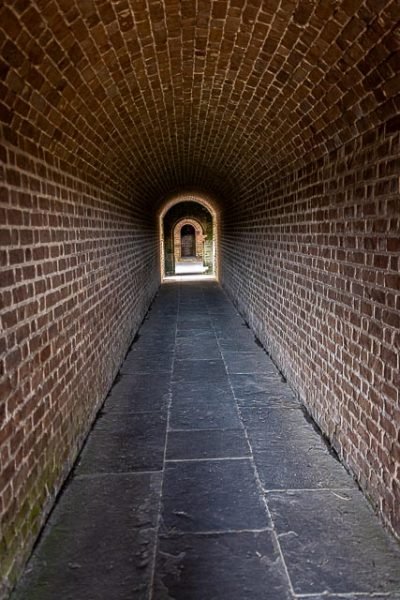
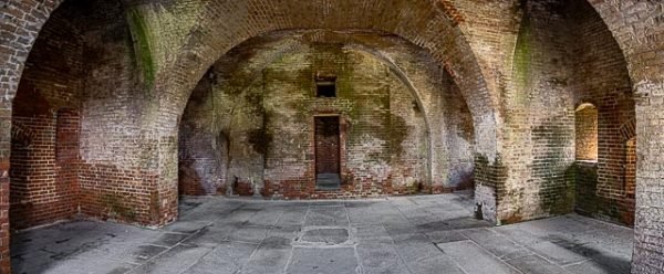
Fort Clinch is a 19th-century masonry coastal fortification, built as part of the Third System of seacoast defense conceived by the United States. It is located on a peninsula near the northernmost point of Amelia Island in Nassau County, Florida. The fort lies to the northeast of Fernandina Beach at the entrance to the Cumberland Sound, in the northeast part of the state. Today it is included within the boundaries of Fort Clinch State Park.
The fort was placed on caretaker status in 1869; it remained so until 1898, when the Army garrisoned it during the short Spanish–American War. In September of that year, the Army abandoned it again. The fort gradually deteriorated.
During the Great Depression, workers of the Civilian Conservation Corps (CCC) began restoration of the fort during the 1930s. It was restored to the Civil War era. In 1935, the State of Florida bought 256 acres that included the then-abandoned fort and the surrounding area. Fort Clinch State Park including the fort, opened to the public in 1938.
The fort was closed to the public during World War II and used as a communications and security post. It was re-opened to public visits after the war ended.
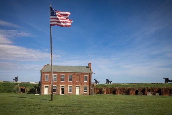
The fort was placed on the National Register of Historic Places in 1972. It is interpreted largely in terms of its use as a base of Union operations during the American Civil War.
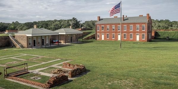
Inside Fort Clinch, visitors can tour five bastions, guard rooms, a prison, enlisted men’s barracks, bakery, blacksmith shop, storehouses, hospital, kitchens, lumber sheds and galleries. Every room is furnished to re-create a depiction of the site as garrisoned by the First New York Volunteer Engineers in 1864.
Where it is:
The Fort Clinch State Park is a Florida State Park, located on a peninsula near the northernmost point of Amelia Island, along the Amelia River. 2601 Atlantic Ave, Fernandina Beach, FL 32034
Maps:
Interactive Google Map
Use the map + – controls to zoom in and out, click and drag the to move the map, use the Map drop-down to change to “Map”, “Satellite”, “Hybrid”, or “Terrain” views. Drag the little man icon from the upper left corner to a map location for street level view.
GPS:
30°42′16.88″N 81°27′16.06″W
Hours:
Park open 8 a.m. to sunset, 365 days a year. Ranger station open 10:30 a.m. to 5:30 p.m. Fort open 9 a.m. to 5 p.m. daily. Visitor center is open 9 a.m. to 4:30 p.m. daily.
Cost:
Admission Fee
- $6 per vehicle (two to eight people).
- $4 single-occupant vehicle.
- $2 pedestrians, bicyclists, extra passengers, passengers in vehicle with holder of Annual Individual Entrance Pass.
- $2.50 per person for fort admission.
Location Contact Information:
Fort Clinch State Park Photo Gallery
Click Here for full page gallery
More Photographic Destinations in Florida
Interactive Google Map
Use the map + – controls to zoom in and out, use the Map drop-down to change to “Map”, “Satellite”, “Hybrid”, or “Terrain” views. Drag the little man icon from the upper left corner to a map location for street level view. Click on a pushpin for more information about the Photographic Destination, then click on the title to go to the location page.
