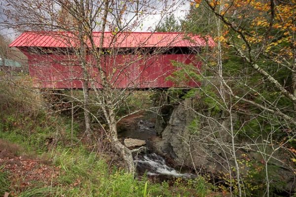
Red Covered Bridge

The Red Covered Bridge is a historic covered bridge, carrying Cole Hill Road across Sterling Brook in Morristown, Vermont. Built in 1896, it is the only surviving 19th-century covered bridge in the town, and one of the last to be built during the historic period of covered bridge construction in the state. It is of queen post truss design, and was listed on the National Register of Historic Places in 1974.
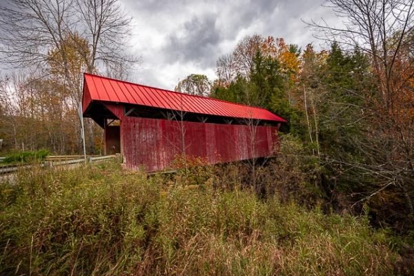
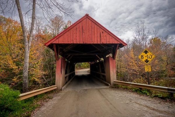
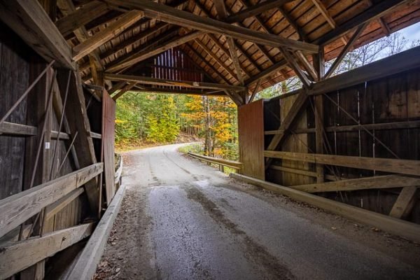
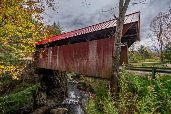
It is a single-span queen post truss, 64 feet long and 18.5 feet wide, with a roadway width of 15 feet, carrying one lane of traffic. The bridge is covered by a red metal roof, and its exterior is clad in red-painted vertical board siding, which extends around to the insides of the portals. The siding does not extend all the way to the roof, leaving an open strip between the two. The bridge rests on abutments of stone and concrete; the north abutment includes a large granite outcrop. The bridge deck is supported by steel I-beams installed in 1971 to carry the active load.
The bridge was built in 1896, one of the last known to be built in the 19th century in Vermont. Its construction is somewhat unusual, with distinctively thicker bottom chords on the trusses, built out of twelve layers of planking.
As with many of the bridges, it has been known by several names including Sterling Brook/Chaffee, but most commonly is now called the Red Bridge.
Where it is:
The Red Covered Bridge is located in a rural area of southwestern Morristown, just north of the junction of Cole Hill Road, Sterling Valley Road, and Moren Loop.
Follow Route 100 out of Stowe heading towards Morrisville and take Stagecoach Road, which is on the left soon after leaving the village of Stowe. Turn left on Sterling Valley Road after 1.7 miles, and the bridge is located less than two miles on the right over Sterling Brook.
Maps:
Interactive Google Map
Use the map + – controls to zoom in and out, click and drag the to move the map, use the Map drop-down to change to “Map”, “Satellite”, “Hybrid”, or “Terrain” views. Drag the little man icon from the upper left corner to a map location for street level view.
GPS:
Cost:
The is no cost to visit the bridge, it is a public roadway.
Red Covered Bridge Photo Gallery
Click Here for full page gallery
More Photographic Destinations in Vermont
Interactive Google Map
Use the map + – controls to zoom in and out, use the Map drop-down to change to “Map”, “Satellite”, “Hybrid”, or “Terrain” views. Drag the little man icon from the upper left corner to a map location for street level view. Click on a pushpin for more information about the Photographic Destination, then click on the title to go to the location page.
Click Here for Photographic Destinations by State
