Yeso Ghost Town

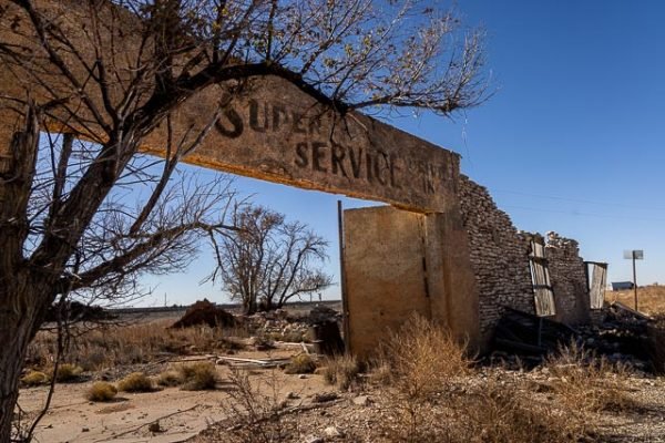
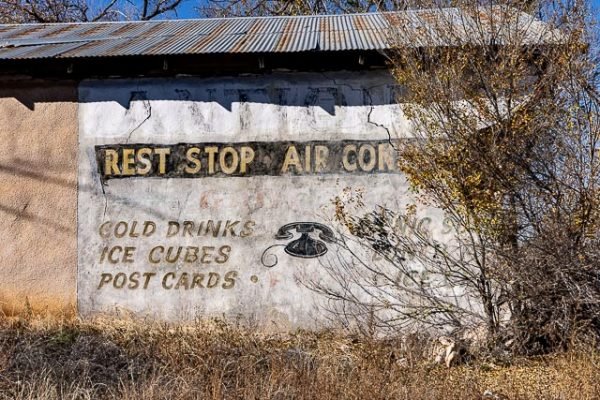
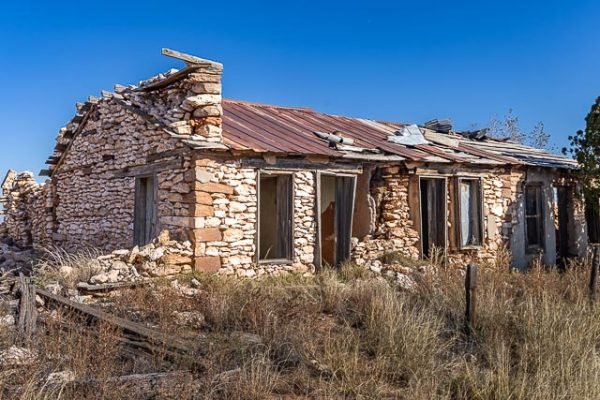
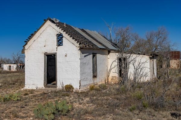
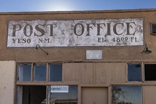
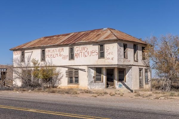
Yeso is a Ghost Town in De Baca County, New Mexico, United States, located along U.S. Route 60 west of Fort Sumner. The post office is the only business or service in Yeso; there are also perhaps a half dozen houses. Yeso was laid out in 1906 when the railroad was extended to that point. Yeso provided the water for the steam powered locomotives of the time, which had to stop regularly for water. With the introduction of diesel locomotives in the 1930’s, trains no longer stopped in Yeso to fill with water and the town began to decline. In addition farmers figured out that the land around Yeso was not really good for farming. The school built by the WPA in 1940 closed in 1960 and now there are a large number of abandoned and crumbling buildings. Most residents moved to Fort Sumner 22 miles further west. At one time there were 300 families living in Yeso.
Yeso took it’s name for the nearby Yeso Creek. Yeso means gypsum in spanish, and the creek contains large amounts of gypsum making it unfit to drink. Yeso also had readily accessible groundwater which could be pumped for livestock and locomotive engines traveling the brand new Belen Cutoff.
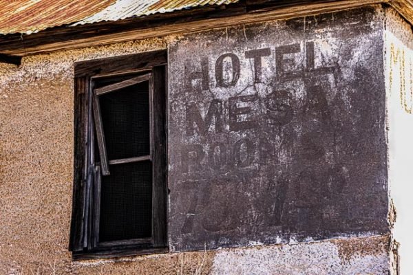
There are many of the original building still standing (well at partially). Many of the building are built of adobe blocks which have weathered time better than most wood structures.
Where it is:
Yeso is an unincorporated desert village in De Baca County, New Mexico, United States, located along U.S. Route 60 west of Fort Sumner.
Maps:
Interactive Google Map
Use the map + – controls to zoom in and out, click and drag the to move the map, use the Map drop-down to change to “Map”, “Satellite”, “Hybrid”, or “Terrain” views. Drag the little man icon from the upper left corner to a map location for street level view.
The remains of the Yeso Church
Hours:
Yeso is always open.
Yeso Ghost Town Photo Gallery
Click Here for full page gallery
More Photographic Destinations in New Mexico
Interactive Google Map
Use the map + – controls to zoom in and out, use the Map drop-down to change to “Map”, “Satellite”, “Hybrid”, or “Terrain” views. Drag the little man icon from the upper left corner to a map location for street level view. Click on a pushpin for more information about the Photographic Destination, then click on the title to go to the location page.
Click Here for Photographic Destinations by State

