Lake Itasca State Park – Headwaters of the Mississippi

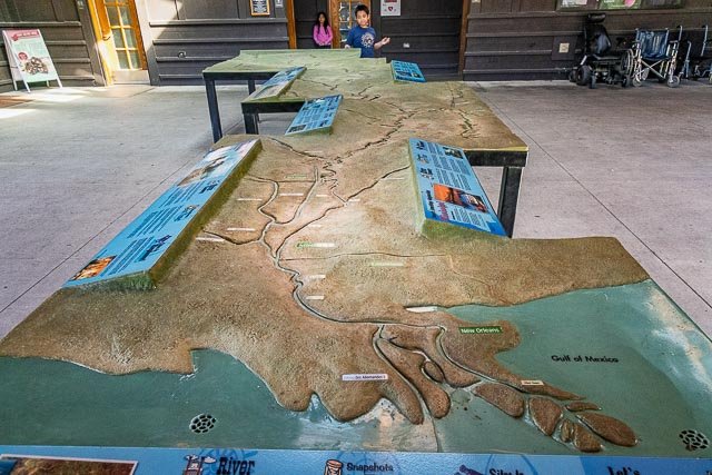
Established in 1891, Itasca is Minnesota’s oldest state park. At the heart of the 32,000-acre forest wilderness, the mighty Mississippi River begins its 2,552-mile journey to the gulf. Points of interest include old growth pine forests, over 100 lakes, numerous historic sites and structures, and the headwaters of the Mississippi River.
Itasca State Park was established by the Minnesota Legislature on April 20, 1891, making it the first of Minnesota’s state parks and second oldest in the United States, behind Niagara Falls State Park. Henry Schoolcraft determined Lake Itasca as the river’s source in 1832. It was named as a National Natural Landmark in 1965, and was added to the National Register of Historic Places in 1973. About 500,000 people visit Itasca State Park annually.
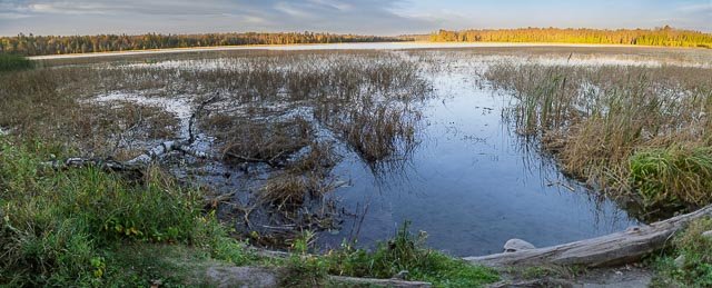
Lake Itasca, the official source of the Mississippi River and a scenic area of northern Minnesota, has remained relatively unchanged from its natural state. Most of the area has a heavy growth of timber that includes virgin red pine, which is also Minnesota’s state tree. Some of the red pine in Itasca are over 200 years old.
Scattered around the boundaries of Itasca State Park stand a variety of historical and tourist attractions. Constructed over a 37-year period from 1905 to 1942, development was undertaken by two Civilian Conservation Corps (CCC) camps as well as two Works Progress Administration (WPA) camps.
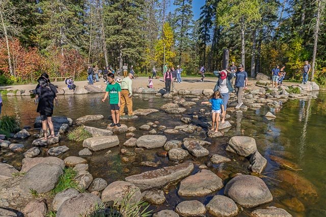
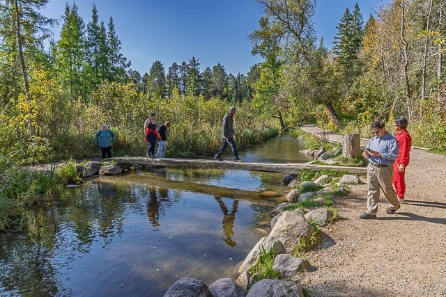
The headwaters of the Mississippi River are clearly defined by a 44 foot long outlet dam at the north end of Lake Itasca. This setup allows tourists to wade in shallow water or cross over it by way of the bridge constructed of logs.
Where it is:
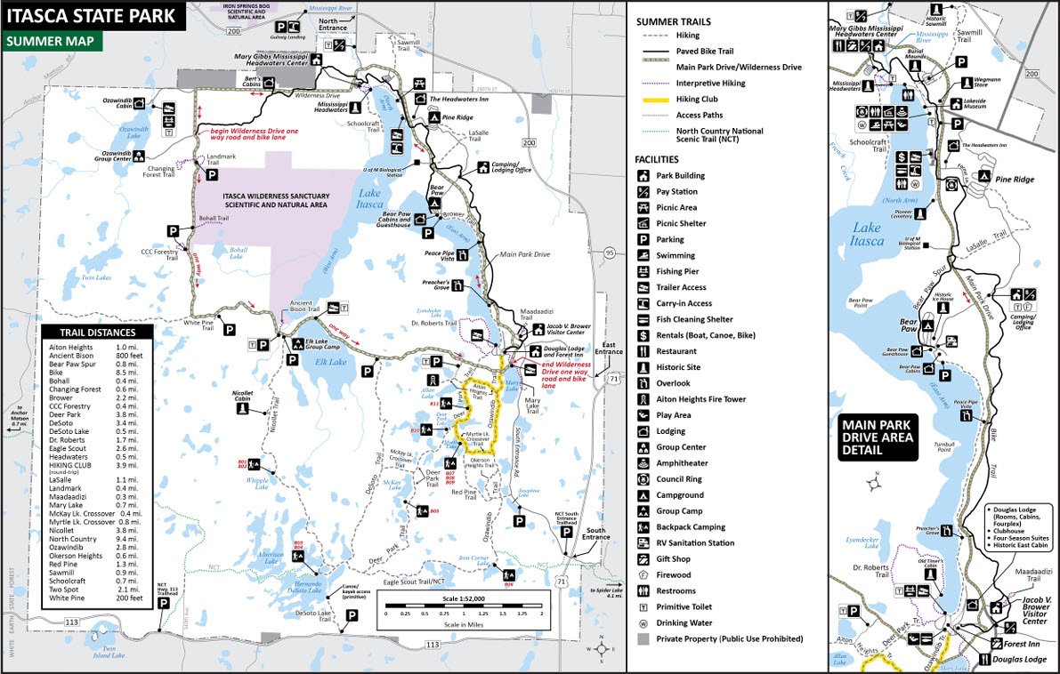
Itasca State Park is located about 21 miles (34 km) north of Park Rapids, Minnesota and 25 miles (40 km) from Bagley, Minnesota.
Maps:
Hours:
Daily from 8 a.m. until 10 p.m.
Cost:
One-day vehicle permit $7
A $35 year-round vehicle permit provides unlimited visits to every Minnesota state park and recreation area for a full year from the month of purchase.
Location Contact Information:
Itasca State Park
36750 Main Park Drive
Park Rapids, MN 56470
218-699-7251
Email: itasca.statepark@state.mn.us
Facilities:
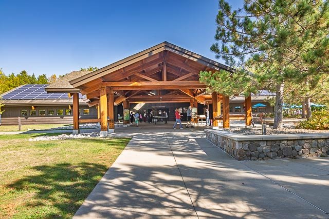
Restrooms, cafe, and gift shop are available in the visitor center.
Click Here for full page gallery
More Photographic Destinations in Minnesota
Interactive Google Map
Use the map + – controls to zoom in and out, use the Map drop-down to change to “Map”, “Satellite”, “Hybrid”, or “Terrain” views. Drag the little man icon from the upper left corner to a map location for street level view. Click on a pushpin for more information about the Photographic Destination, then click on the title to go to the location page.