Fairbank Ghost Town

Fairbank is a ghost town in Cochise County, Arizona, next to the San Pedro River. First settled in 1881, Fairbank was the closest rail stop to nearby Tombstone, which made it an important location in the development of southeastern Arizona. The town was named for Chicago investor Nathaniel Kellogg Fairbank who partially financed the railroad, and was the founder of the Grand Central Mining Company, which had an interest in the silver mines in Tombstone. Today Fairbank is located within the San Pedro Riparian National Conservation Area.
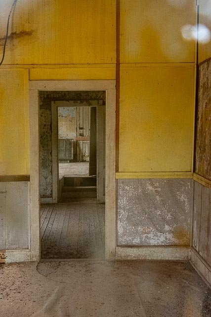
By the mid-1970s Fairbank was all but deserted. The final remaining residents left when the buildings were deemed unsafe. After that, the post office closed, and the side roads became overgrown and largely impassable. Some years later, in 1986, the former Mexican Land Grant was acquired by the Bureau of Land Management (BLM) and the town was incorporated into the San Pedro Riparian NCA as the “Fairbank Historic Townsite”. What remains of the town of Fairbank is now open to the public. The remaining structures include:
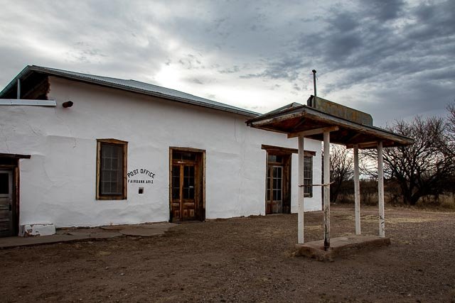
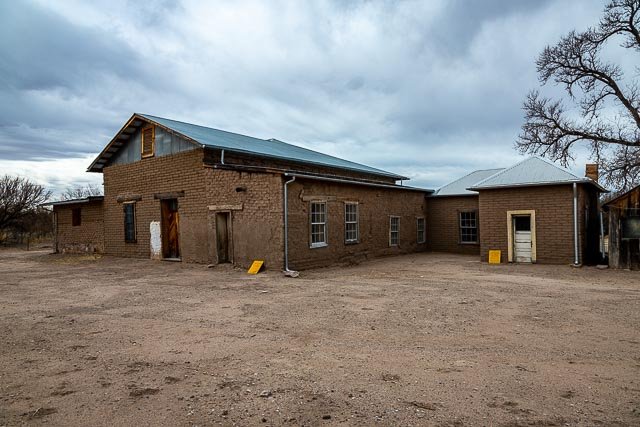
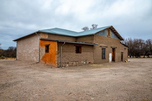
- A commercial building, an adobe structure that used to house the general store, the post office, and the saloon. The structure has been stabilized by the BLM.
- The Montezuma Hotel, which was built in 1889 to the south of the Commercial Building. The hotel was torn down to make way for highway construction, and only portions of its foundation remain.
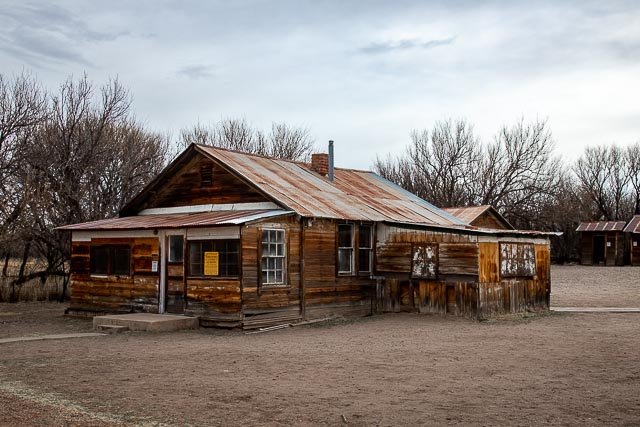
- A small wooden house, built in 1885, in a style common in the 1880s.
- The schoolhouse, built of gypsum block manufactured in nearby Douglas, AZ, was constructed in 1920, and was a functioning school through the 1930s.
- A larger wooden house, built in 1925.
- A stable and an outhouse, which were built in the early 1940s as part of a Works Progress Administration project based in Fairbank.
A railroad bridge, northwest of the townsite along the San Pedro River, built in 1927. - A railroad platform, west of the townsite, along the former railroad line
In March 2007, the BLM restoration of the schoolhouse was completed, and the structure was opened to the public as a museum and information center for Fairbank.
Where it is:
10 miles west of Tombstone.
Directions to Fairbank Arizona
- FROM INTERSTATE 10:
- Go South from Interstate 10 in Benson, onto Hwy. 80 – toward Tombstone AZ
- Just before you arrive to the town of Tombstone, you’ll see the junction for Hwy. 82
- Turn right, which means heading West on Hwy. 82
- From there it’s not quite 6 miles on the right. Plenty of parking.
- FROM TOMBSTONE:
- Take Hwy. 80 North, out of town toward Benson
- Just after exiting the city limits – at the top of the hill, you’ll see the junction for Hwy. 82
- Turn left, which means heading West on Hwy. 82
- From there it’s not quite 6 miles on the right. Plenty of parking.
Maps:
Interactive Google Map
Use the map + – controls to zoom in and out, click and drag the to move the map, use the Map drop-down to change to “Map”, “Satellite”, “Hybrid”, or “Terrain” views. Drag the little man icon from the upper left corner to a map location for street level view.
GPS:
Cost:
Today the area is open for the public to enjoy. Take a self-guided tour around what was once a thriving boom-town of the wild west! Be on the look-out for historic points of interest . . . But note: It is illegal to remove any historic (older than 50 years) artifacts from public lands.
Hours:
Fairbank Ghost Town Photo Gallery
Click Here for full page gallery
More Photographic Destinations in Arizona
Interactive Google Map
Use the map + – controls to zoom in and out, use the Map drop-down to change to “Map”, “Satellite”, “Hybrid”, or “Terrain” views. Drag the little man icon from the upper left corner to a map location for street level view. Click on a pushpin for more information about the Photographic Destination, then click on the title to go to the location page.
Click Here for Photographic Destinations by State

