Paydown Mill

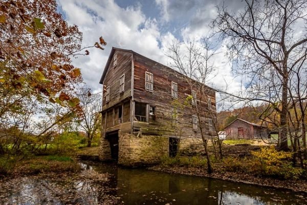
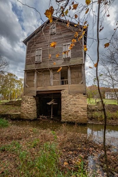
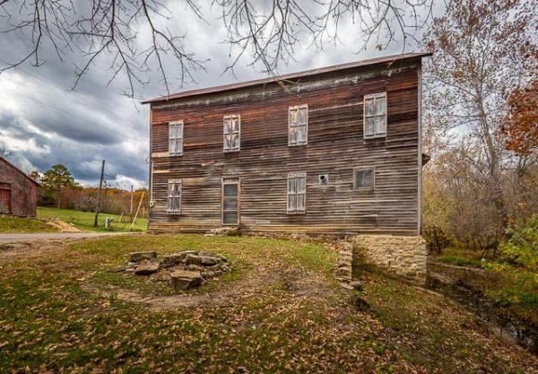
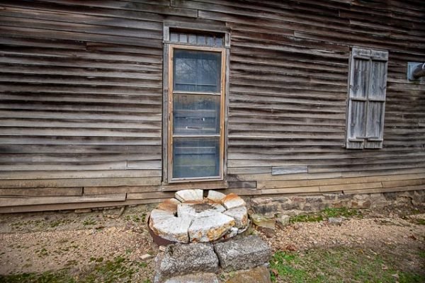
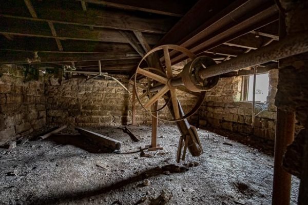
The Paydown Grist Mill sitting near the Gasconade River on Mill Creek not far from Vienna, is one of mills that has an interesting past with the Civil War. According to records. many goods were supplied thru the general store at Paydown to the U.S. Government for troops in some of the northern states. The mill was commonly known as Pay Down during the time period dates back to 1826. Though out history several mills have occupied the site until the 1930’s Paydown was entire community during the 1800’s. The current mill sits on a limestone foundation, operated using a turbine, has clapboard siding, & is over two stories high. In 1860, an employee tried to commit suicide there, but did not complete the task until sometime latter. The original owner was Charles Lane, who began building the first mill on site, but sold to Peter Walter in 1829 before it was completed. Other owners were Thomas Kinsey, Rubin Terrill, & Daniel Boone Wherry, a descendant of legendary Daniel Boone after 1866, the Bray family took over. In 1886 & 1872, another mill was erected. In 1890’s the present mill was completed by C. E. Givens about a mile down from the other mill. It operated for about 30 years.
What to Photograph
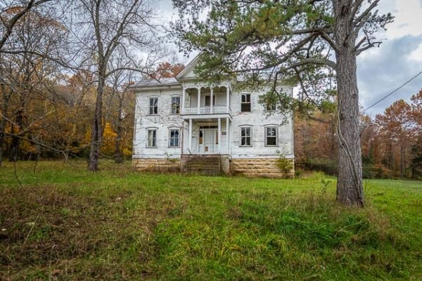
The old Paydown Mill building and the Paydown Manor across the road and some additional old barns and out buildings.
Where it is:
Paydown is located on the east bank of the Gasconade River at the mouth of Spring Creek, ten miles northeast of Vienna on MO hwy 42. There are no signs or markers, however it plainly visible from the highway.
Maps:
Interactive Google Map
Use the map + – controls to zoom in and out, click and drag the to move the map, use the Map drop-down to change to “Map”, “Satellite”, “Hybrid”, or “Terrain” views. Drag the little man icon from the upper left corner to a map location for street level view.
GPS:
38°13’44.207″ N 91°48’12.732″ W
Cost:
Hours:
There are no hours, this is an abandoned property along the side of the road.
Facilities:
There are no facilities.
Location Contact Information:
Paydowm Mill Photo Gallery
Click Here for full page gallery
More Photographic Destinations in Missouri:
Interactive Google Map
Use the map + – controls to zoom in and out, use the Map drop-down to change to “Map”, “Satellite”, “Hybrid”, or “Terrain” views. Drag the little man icon from the upper left corner to a map location for street level view. Click on a pushpin for more information about the Photographic Destination, then click on the title to go to the location page.
Click Here for Photographic Destinations by State
Jerry, go to the Bray mill near Iberia just off of 42. It was built by my Great Great Grandfather Thomas Bray. Someone still lives in the mill and everything is there that the mill used.
My significant other, Dave Griffith, said his whole family lived in Paydown at one time. I’m doing his geneology, and finding not only the Griffith family settled and lived there, but others families on his tree. We visited the area about a year ago, looking for anything, and all we found initially was Paydown road. But, we assumed the mill and manor were the old Paydown area, and we were right. We asked a gentleman about Paydown, and he said it no longer existed, there is a Paydown road, and then directed us to the stream “that has the coldest and best drinking water around”. I’m guess it is the stream by the mill but not sure. I’d love to receive any and all information, and photos, that you may have of Paydown. Dave had a farm in the area that he inherited from his dad/grandfather, but so long ago he doesn’t even know where it might be. I’m sure we’ll be looking.
Great photos Greg…I sure I could find some old photos with the water wheel and trough. I wonder how big the wheel was…and at what position to the building…thanks for your great photos.