Jolly Mill

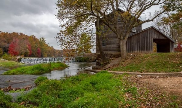
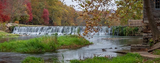
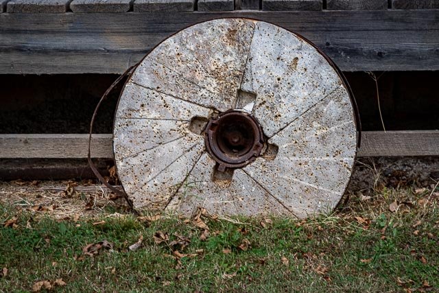
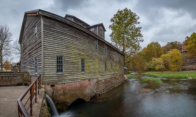
Jolly Mill was built on Capps Creek at Jollification, Berwick Township, Newton County, Missouri, United States in 1848 by Thomas Isbell and his son John to serve as a whiskey distillery. Jolly Mill was named for the local Jolly family. The mill also served as a grist mill, and continued to operate in that capacity until 1975.
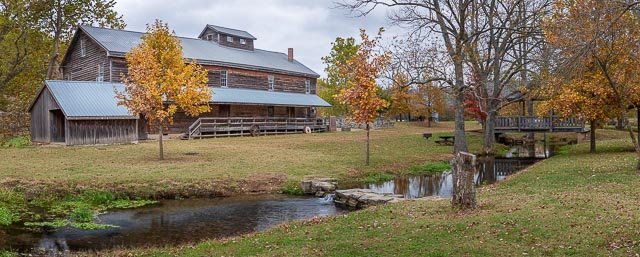
The three-floor structure still retains the original hand-hewn and pegged framing timbers and limestone slab foundations. A village named Jollification quickly developed around the distillery/mill to serve as a rest stop and resupply point for wagon trains and stagecoaches. Because of new taxes on whiskey that owner George Isbell refused to pay, the distillery was closed in the 1870s. Isbell turned his attention to the milling of flour.
The mill was purchased in 1983 by The Friends of Jolly Mill and listed on the National Register of Historic Places. In recent years, under the care of The Friends of Jolly Mill, the mill has undergone somewhat of a renaissance. Mill restoration was completed in 1998 when the repaired water-powered machinery began grist milling demonstrations.
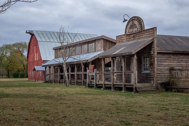
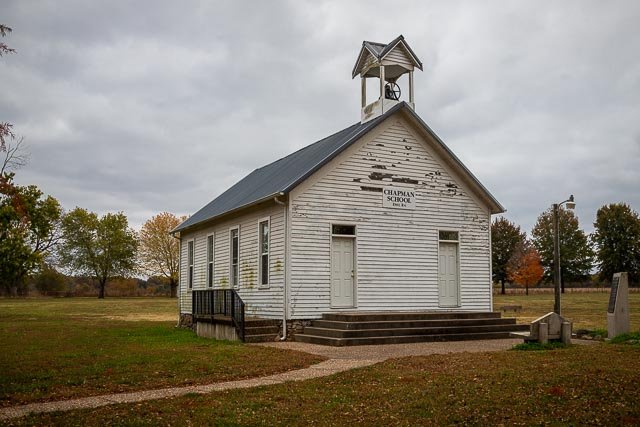
The mill and surrounding land have been restored and converted into a park, with many period buildings moved in from other locations in an attempt to replicate the look and feel of the town of Jollification.
Milling demonstrations are still put on at 1 p.m. on the first Saturday of the month from May to October.
Where it is:
Jolly Mill Park is located southwest of Pierce City Missouri. The park can be accessed from U.S. Highway 60 to the south on Wallaby Road, which is about 71/2 miles west of Monett.
Maps:
Interactive Google Map
Use the map + – controls to zoom in and out, click and drag the to move the map, use the Map drop-down to change to “Map”, “Satellite”, “Hybrid”, or “Terrain” views. Drag the little man icon from the upper left corner to a map location for street level view.
Hours:
Entrance fee to the park is $5 per car.
Location Contact Information:
Facilities:
Photo Gallery
Click Here for full page gallery
More Photographic Destinations in Missouri Interactive Google Map
Use the map + – controls to zoom in and out, use the Map drop-down to change to “Map”, “Satellite”, “Hybrid”, or “Terrain” views. Drag the little man icon from the upper left corner to a map location for street level view. Click on a pushpin for more information about the Photographic Destination, then click on the title to go to the location page.
Click Here for Photographic Destinations by State
