
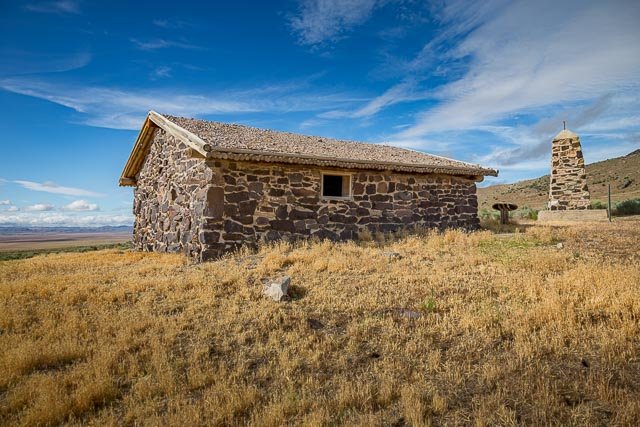
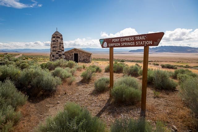
Simpson Springs Pony Express Station

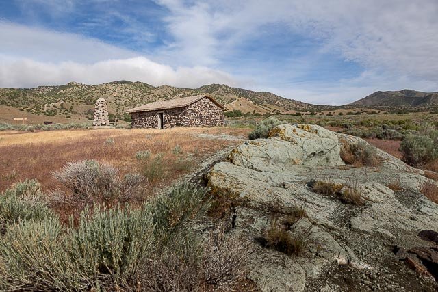
The 1861 mail contract listed Simpson’s Springs as a route site, which other sources also identify as Pleasant Springs, Egan’s Springs, and Lost Springs. Fike and Headley place this station eight miles west of Government Creek. George Chorpenning found the site promising in 1851, with a good source of water, and stone structures were erected soon thereafter. These structures probably housed Pony Express and stage operations, after Russell, Majors, and Waddell and the Central Overland California & Pike’s Peak Express Company assumed the Chorpenning contract in May 1860. George Dewees managed the station. The station received its name from J. H. Simpson, a Camp Floyd topographical engineer who in 1859 laid out an acceptable route from Salt Lake City to Carson Valley.
Activities at Simspon’s Springs declined after the Pony Express and stage eras until the 1890s, when miners and other travelers began stopping at the site on their way to and from the Gold Mill area. During that time the Walters and Mulliner Stage Company adapted the rock station for its use, and other structures went up at the site. Dewey and Clara Anderson built a home about 1895, and someone else operated a log grocery store there. The Anderson home burned about 1957.
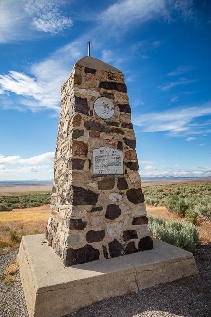
In the 1930s the Civilian Conservation Corps established a camp west of the Simpson’s Springs station site. In 1965, a monument was placed to mark the station site. Thereafter, in the 1970s, the Bureau of Land Management (BLM) revitalized the area as a camping spot, and in 1975, BLM and Future Farmers of America finished reconstructing the rock station.
The Pony Express National Historic Trail (NHT) was designated by Congress in 1992 and is administered by the National Park Service as a component of the National Trails System.
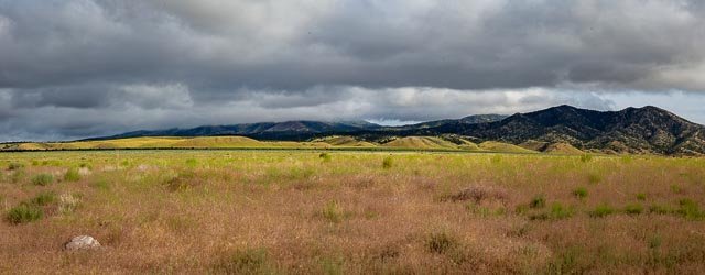
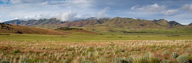
The area around the Simpson Springs Pony Express Station is a fantastic place for landscape photos.
Where it is:
From State Route 36 near Faust, turn west on the Pony Express Road and drive 25 miles to campground on maintained gravel road. From Interstate 80, take Dugway-Rowley Exit 77, drive south on State Route 196 to Dugway, continue south 10 miles on maintained dirt road to Pony Express Road, turn left or west onto Pony Express Road for 10 miles.
Maps:
Interactive Google Map
Use the map + – controls to zoom in and out, click and drag the to move the map, use the Map drop-down to change to “Map”, “Satellite”, “Hybrid”, or “Terrain” views. Drag the little man icon from the upper left corner to a map location for street level view.
GPS:
40°2’21.756″ N 112°47’15.84″ W
Cost:
Hours:
The location is accessible at all times.
Facilities:
There are vault toilets in the parking area and Simpson Springs Campground nearby provides potable water (except in winter months) and restroom facilities.
Location Contact Information:
Mailing Address:
National Trails
Pony Express National Historic Trail
PO Box 728
Santa Fe, NM 87504
Phone:
505-988-6098
Simpson Springs Pony Express Station Photo Gallery
Click Here for full page gallery
More Photographic Destinations in Utah
Interactive Google Map
Use the map + – controls to zoom in and out, use the Map drop-down to change to “Map”, “Satellite”, “Hybrid”, or “Terrain” views. Drag the little man icon from the upper left corner to a map location for street level view. Click on a pushpin for more information about the Photographic Destination, then click on the title to go to the location page.
Click Here for Photographic Destinations by State