Tumacacori National Historical Park

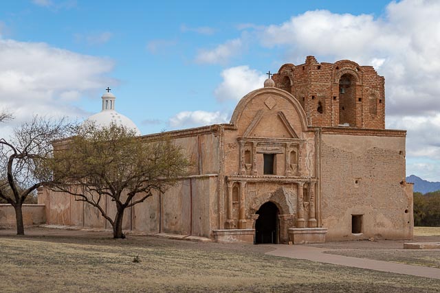
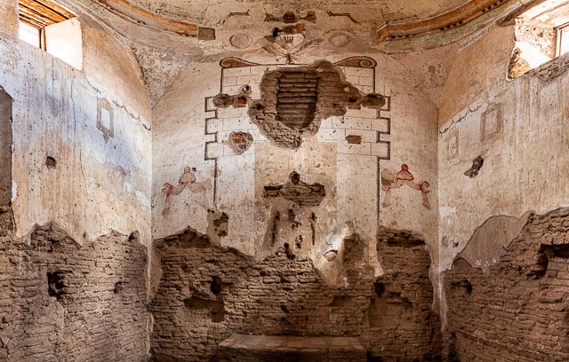
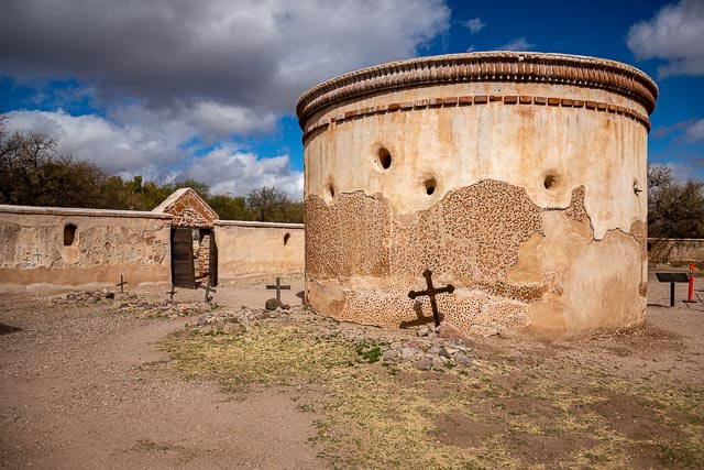
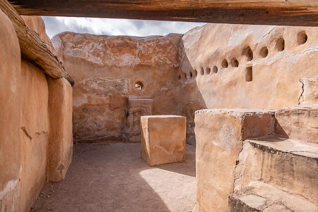
The main feature of the park is the remarkably well-preserved Mission San José de Tumacácori, which was built in the 1750s to replace the much older Mission San Cayetano de Tumacácori — the first mission in southern Arizona. The park gives you the opportunity to take a self-guided walk through the park grounds including the three-story abode church, grounds, and garden.
History
Mission San Cayetano del Tumacácori was established by Jesuits in 1691 in a location near a Sobaipuri settlement on the east side of the Santa Cruz River. Services were held in a small adobe structure built by the inhabitants of the village.
After the O’odham rebellion of 1751 the mission was abandoned for a time. In 1752, the village was reestablished and in 1753 the church of the Mission San José de Tumacácori began construction at the present site on the west side of the Santa Cruz River. This first church structure was erected for use by the mission in 1757. The architectural style of the church is Spanish Colonial.
Rumors spread within the Spanish kingdom that the Jesuit priests had amassed a fortune on the peninsula and were becoming very powerful. On February 3, 1768 King Carlos III ordered the Jesuits forcibly expelled from the Viceroyalty of New Spain (colonial México) and returned to Spain.
The mission is now part of Tumacácori National Historical Park, which contains three separate sections. This mission site is included in the Tumacácori National Historical Park that extends for 360 acres, and is open to the public daily.

Where it is:
Tumacacori, AZ 85640
Maps:
Interactive Google Map
Use the map + – controls to zoom in and out, click and drag the to move the map, use the Map drop-down to change to “Map”, “Satellite”, “Hybrid”, or “Terrain” views. Drag the little man icon from the upper left corner to a map location for street level view.

GPS:
31°34’3.39″ N 111°3’4.86″ W

Cost:
Entrance Fees:
Tumacácori Entrance Fee – Per Person – $10.00
Required for anyone 16 and older unless a guest of other pass holder. Valid for 7 days.
Tumacácori Annual Pass – $35.00
Covers pass holder(s) plus three adult guests. Kids under 16 are always free. Photo ID of either pass holder required. Valid for 12 months from month of purchase.
All regular national park passes are valid.
Hours:
Open 7 days a week from 9:00 am to 5:00 pm, closed Thanksgiving and Christmas Day.

There are restrooms and the park store in the visitor center. There is no food or lodging in the park. There are many restaurant options exist within a few miles of the park.
Location Contact Information:
Telephone
520-377-5060
Fax
520-377-5079
Mailing Address
Tumacácori National Historical Park
P.O.Box 8067
Tumacacori, Arizona 85640
Physical & Shipping Address
Tumacácori National Historical Park
1891 East Frontage Road
Tumacacori, Arizona 85640

Tumacacori National Historical Park Photo Gallery
Click Here for full page gallery
More Photographic Destinations in Arizona
Interactive Google Map
Use the map + – controls to zoom in and out, use the Map drop-down to change to “Map”, “Satellite”, “Hybrid”, or “Terrain” views. Drag the little man icon from the upper left corner to a map location for street level view. Click on a pushpin for more information about the Photographic Destination, then click on the title to go to the location page.
Click Here for Photographic Destinations by State