Mushroom Rock State Park

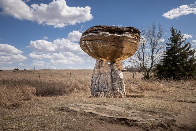
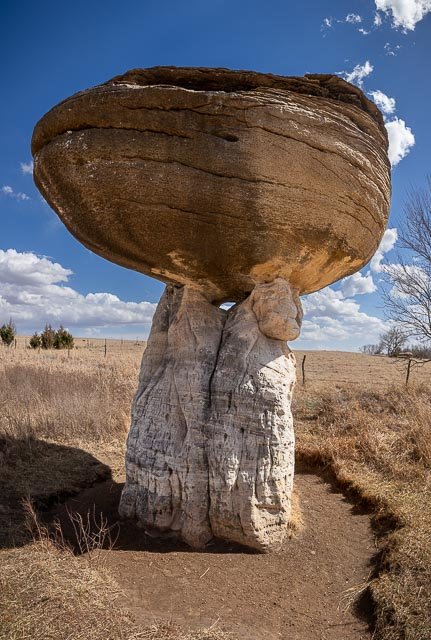
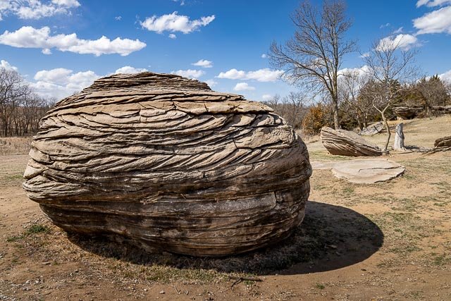
Mushroom Rock State Park is noted for its mushroom rock formations.
These rocks are the remains of beach sands and sediments of the Cretaceous Period, the interval of geologic time from about 144 to 66 million years ago. Sandstone and sedimentary rock is held together by natural cement. The concretions that make up Mushroom Rocks are cemented calcium carbonate. The largest rock measures 27 feet in diameter. There are two mushrooms and a giant shoe rock, as well as numerous other rock formations in the 5-acre park.
Mushroom Rock is Kansas’s smallest state park; as well as being “one of the 8 wonders of Kansas Geography.” Mushroom Rock State Park is managed by Kanopolis State Park,under regulation of Kansas Department of Wildlife, Parks and Tourism. The rocks served as meeting places and landmarks for Native Americans and early pioneers such as John C. Fremont and Kit Carson.
Where it is:
It is located in the Smoky Hills region of north-central Kansas in Ellsworth County, Kansas, United States. The park is surrounded by farms and you can usually hear cattle lowing nearby.
Mushroom Rock State Park is located on the Prairie Trail Scenic Byway northwest of Marquette about 5 miles north of Kanopolis Reservoir and State Park, 3 miles west of K-141 on Avenue K, a county road or south of K-140 from Caneiro on 25th Road

Maps:
Interactive Google Map
Use the map + – controls to zoom in and out, click and drag the to move the map, use the Map drop-down to change to “Map”, “Satellite”, “Hybrid”, or “Terrain” views. Drag the little man icon from the upper left corner to a map location for street level view.
GPS:
38°43’29.004″ N 98°1’50.28″ W

Hours:
Open 24/7

Cost:
There is no charge for the park.
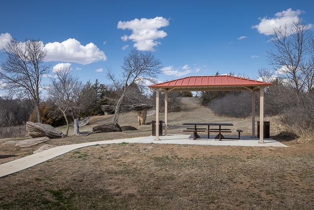
Facilities:
There are Picnic tables and a rough toilet.
Location Contact Information:
Kanopolis State Park
200 Horsethief Road
Marquette, Kansas 67464
(785) 546-2565

Mushroom Rock State Park Photo Gallery
Click Here for full page gallery
More Photographic Destinations in Kansas
Interactive Google Map
Use the map + – controls to zoom in and out, use the Map drop-down to change to “Map”, “Satellite”, “Hybrid”, or “Terrain” views. Drag the little man icon from the upper left corner to a map location for street level view. Click on a pushpin for more information about the Photographic Destination, then click on the title to go to the location page.
Click Here for Photographic Destinations by State