Vermont Photographic Destinations

Let me help you to find a great location in Vermont for your next photography adventure. I will list many lesser known destinations, as well as the famous “Icon Locations” for photography. I will provide photos (Lots of Photos), location information, consisting of what there is to photograph as well as other information about the destination. I will give costs, maps, directions, contact information, and other essential information for a successful photo trip. I will only post for locations that I have personally photographed to insure a quality guide to great locations for photography in Vermont.
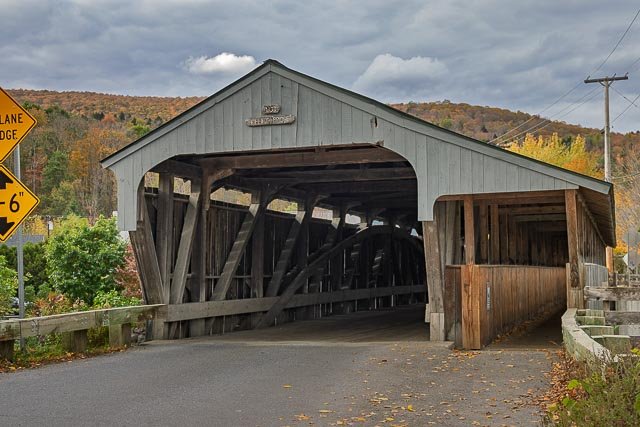
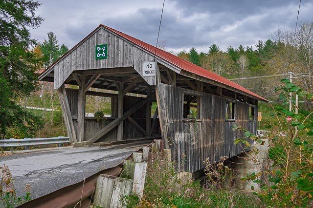
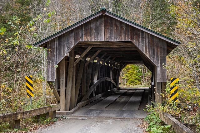
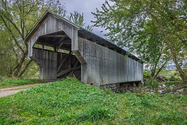
- Upper Cox Brook Covered Bridge
- Scribner Covered Bridge
- Powerhouse Covered Bridge
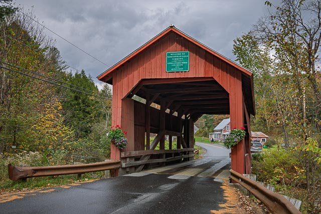
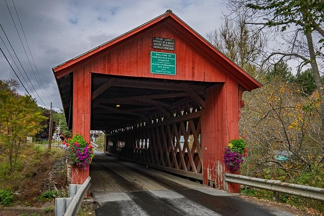
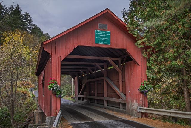
- Northfield Falls Covered Bridge
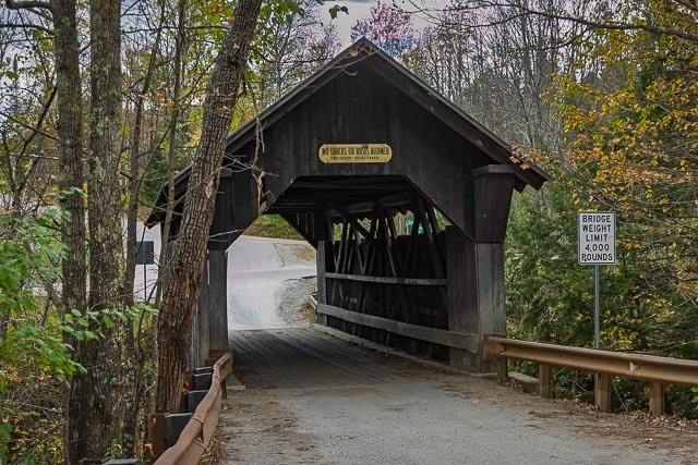
- Lower Cox Brook Covered Bridge
- Grist Mill Covered Bridge
- Gates Farm Covered Bridge
- Waitsfield Covered Bridge
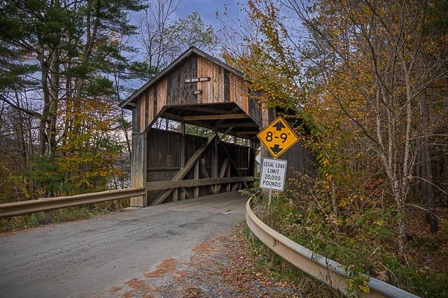
- Pine Brook Covered Bridge
- Gold Brook Covered Bridge
- Red Covered Bridge
- Randall Covered Bridge
- Kidder Covered Bridge
Interactive Google Map
Use the map + – controls to zoom in and out, use the Map drop-down to change to “Map”, “Satellite”, “Hybrid”, or “Terrain” views. Drag the little man icon from the upper left corner to a map location for street level view. Click on a pushpin for more information about the Photographic Destination, then click on the title to go to the location page.