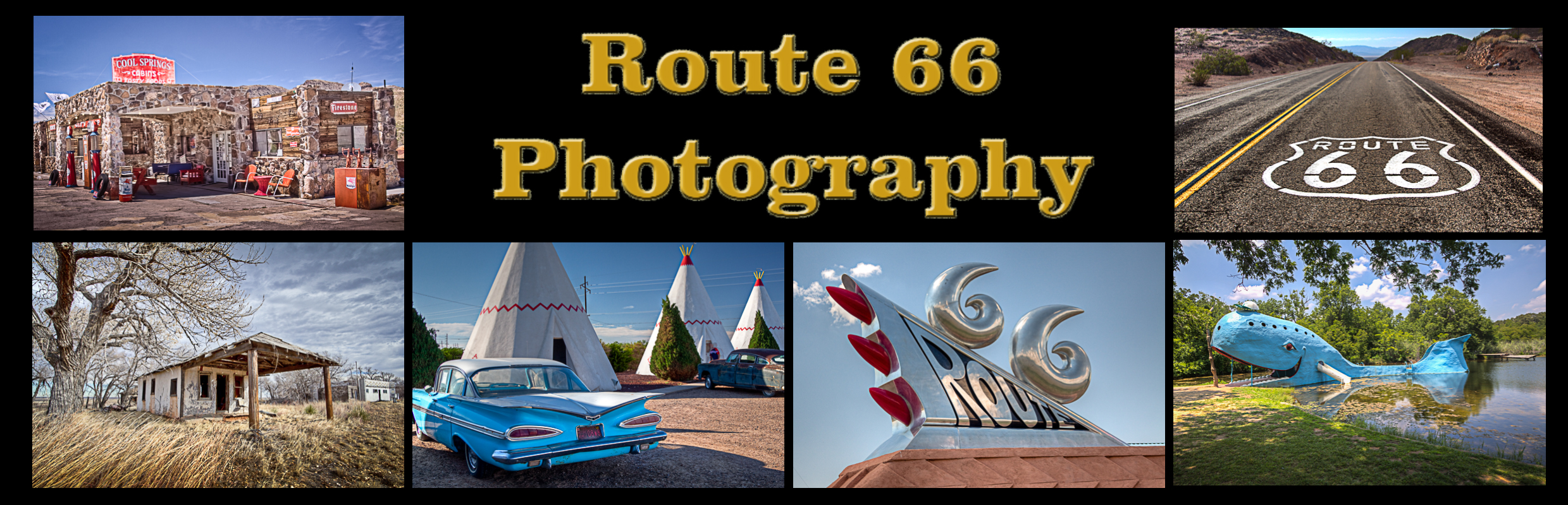

Route 66 Roadside Attraction
Three and a half miles north of Baxter Springs, Kansas stands the elegant Brush Creek Bridge, the only remaining example of a fixed Marsh Rainbow Arch bridge left on Kansas Route 66. Two other examples, the Spring River and Willow Creek bridges, were dismantled in the early 1990s.
The Brush Creek Bridge, also known as the Rainbow Bridge, was part of a project in the early 1920s to connect the mining communities of Galena, Riverton, and Baxter Springs with a concrete road. The unique and graceful Rainbow Arch design was the brainchild of James Barney Marsh, a bridge designer from Iowa, who patented the concrete and steel truss design in 1912. Marsh spent the next two decades erecting approximately 70 of his Rainbow Arch bridges throughout the Midwest, most of them in Kansas, where approximately 35 still remain.
The bridge consists of a pair of arches disposed between two abutments, with concrete banister railings aligned parallel with the bridge deck. The original patents called for slideable wear plates, molded into the concrete where the bridge deck came into contact with the beams and abutments. This is important, as one of the main benefits of this design was to allow for the expansion and contraction of the reinforced concrete bridge under varying conditions of temperature and moisture. Built in 1923, the 130-foot bridge carried Route 66 motorists over Brush Creek until it was bypassed by the interstate in the 1960s.
The Brush Creek Bridge was listed in the National Register of Historic Places in 1983.
Brush Creek Rainbow Arch Bridge Photo Gallery
Images available for browsing or purchase through PhotoShelter.
- Browse Images

- Create and Save Personal Lightboxes
- Purchase Licensing Rights
- Download High Resolution Files
- Download Personal Use Files
- Order Prints
Kansas Route 66 Photo Galleries
My name is Greg Disch and I am a freelance photographer with a passion for taking photos of Route 66. I have been photographing Route 66 for the past several years and have accumulated one of the largest collections of contemporary Route 66 photography. My images are all available online for immediate sale and download or may be ordered as photographic prints. If you need photos from Route 66, or just want to take a virtual tour of the “Mother Road” you can travel from town to town using the interactive map or search by subject.
Interactive Google Map
Use the map + – controls to zoom in and out, use the Map drop-down to change to “Map”, “Satellite”, “Hybrid”, or “Terrain” views. Drag the little man icon from the upper left corner to a map location for street level view. Click on a pushpin for more information about the Photographic Destination, then click on the title to go to the location page.