Riverton is an unincorporated community and census-designated place in Cherokee County, Kansas, United States. It is located at the junction of K-66 Route 66 and U.S. Route 69 Alternate and U.S. Route 400, near the Spring River. It is one of only three towns in Kansas along U.S. Route 66.
The famous Rainbow Bridge (Brush Creek Bridge), about 2 miles west of town, was built in 1923 and is 130 feet long and the onlly one of its kink in Kansas. The bridge was the site where in the year 2000, musician Brad Paisley performed the song “(Get Your Kicks on) Route 66” for the TLC special “Route 66: Main Street America”. The bridge was listed on the National Register of Historic Places in 1983
The Eisler Brothers Country Store in Riverton was one of the stops on Pixar’s US 66 research trips for the 2006 film Cars. The filmmakers met with Dean Walker, then president of the Kansas Route 66 Association, who is known to twist his feet backwards 180° and walk in reverse. He became one of many inspirations for the Mater character, a rusty old tow truck who teaches NASCAR rookie Lightning McQueen to drive in reverse. The store was listed on the National Register of Historic Places in 2003.
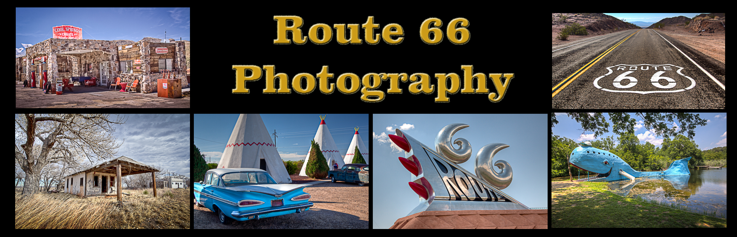
Riverton Kansas Route 66 Photography
Riverton Kansas Route 66 Photo Gallery
Images available for browsing or purchase through PhotoShelter.
- Browse Images

- Create and Save Personal Lightboxes
- Purchase Licensing Rights
- Download High Resolution Files
- Download Personal Use Files
- Order Prints
Kansas Route 66 Photo Galleries
My name is Greg Disch and I am a freelance photographer with a passion for taking photos of Route 66. I have been photographing Route 66 for the past several years and have accumulated one of the largest collections of contemporary Route 66 photography. My images are all available online for immediate sale and download or may be ordered as photographic prints. If you need photos from Route 66, or just want to take a virtual tour of the “Mother Road” you can travel from town to town using the interactive map or search by subject.
Interactive Google Map
Use the map + – controls to zoom in and out, use the Map drop-down to change to “Map”, “Satellite”, “Hybrid”, or “Terrain” views. Drag the little man icon from the upper left corner to a map location for street level view. Click on a pushpin for more information about the Photographic Destination, then click on the title to go to the location page.