Baxter Springs is the largest city in Cherokee County, Kansas located along the Spring River. From an early trading post, the city grew dramatically with the expansion of cattle ranching in the West and was the first “cow town” in Kansas following the Civil War. its population grew dramatically into the early 1870s in association with the cattle drives. After railroads were constructed into Texas, cattle drives no longer were made to Baxter Springs and other points along the trail, and the towns declined.
The city later had some economic success in the early twentieth century associated with lead mining in the area. The city protected its land, and owners and operators chose Baxter Springs for their residences and business offices. In 1926 the city’s downtown main street was designated as part of the transcontinental U.S. Route 66 from Chicago to Los Angeles. By the 1940s, the high-quality lead had mostly been mined, and the industry declined. Some towns nearby disappeared altogether. Environmental restoration to correct damage left by mining has been underway for some time.
The stock market crash of 1928 and the Great Depression that followed left major oil companies in disarray. Some companies failed, and others were bought out. The survivors struggled to attract and hold customers in order to rebuild their damaged brands. In a savvy public relations move, oil companies began establishing uniform station designs that immediately identified their brand to car-driving customers. For good reason, many of these new station designs had a distinctly domestic flair. The homey, cottages designs sought to appease local customers by blending into the surrounding neighborhood and provided travelers with a sense of security and comfort during an economic era fraught with uncertainty and discomfort.
Baxter Springs has a prime example of just such an “automotive cottage.” Small and square when it was built in 1930 at the north end of the Baxter Springs commercial district, the station featured brick and stucco walls, a pitched roof, a chimney, and shuttered windows. A small copper-roofed bay window was located next to the entrance, and Tudor Revival influence was apparent in the cross-timbered gables and deep eaves. In 1940, the building was enlarged without seriously disrupting the building’s original plan, form, and materials. A tall, shield-shaped Phillips 66 pole sign still stands at the southwest corner of the property. The station’s design clearly conveys its original use as an early service station as well as the intentional “welcome home” iconography of its owners–first Independent Oil and Gas and later Phillips Petroleum.
Baxter Springs Kansas Route 66 Photo Gallery
Images available for browsing or purchase through PhotoShelter.
- Browse Images
- Create and Save Personal Lightboxes
- Purchase Licensing Rights
- Download High Resolution Files
- Download Personal Use Files
- Order Prints
Kansas Route 66 Photo Galleries
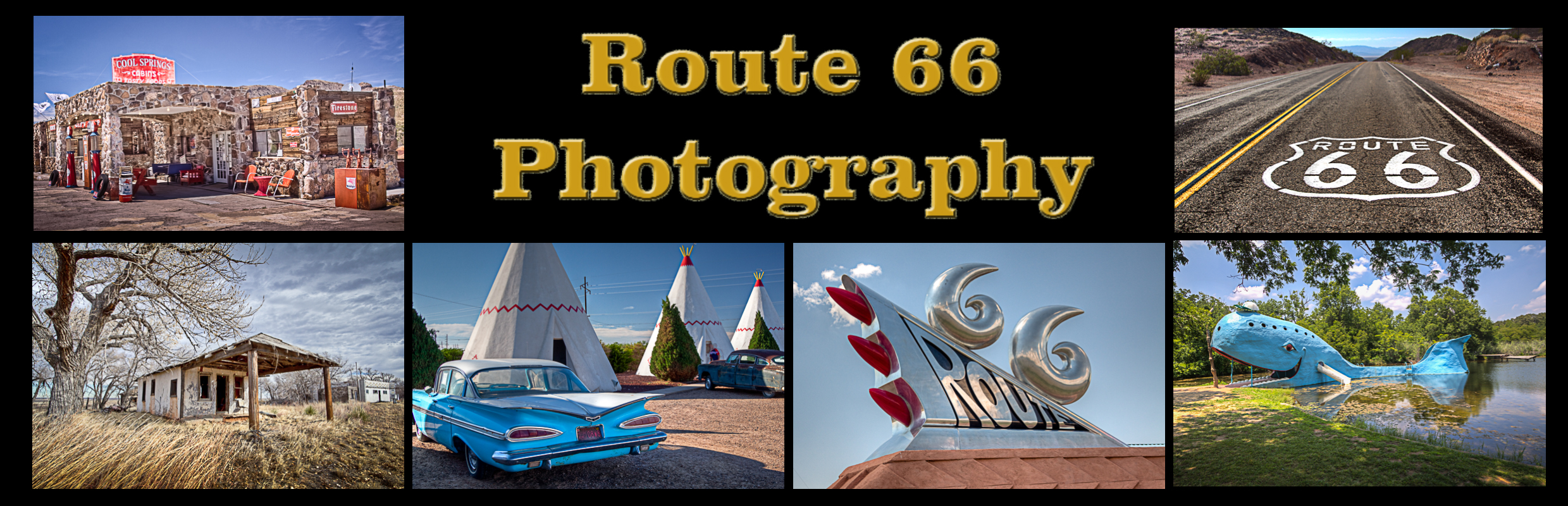
My name is Greg Disch and I am a freelance photographer with a passion for taking photos of Route 66. I have been photographing Route 66 for the past several years and have accumulated one of the largest collections of contemporary Route 66 photography. My images are all available online for immediate sale and download or may be ordered as photographic prints. If you need photos from Route 66, or just want to take a virtual tour of the “Mother Road” you can travel from town to town using the interactive map or search by subject.
Interactive Google Map
Use the map + – controls to zoom in and out, use the Map drop-down to change to “Map”, “Satellite”, “Hybrid”, or “Terrain” views. Drag the little man icon from the upper left corner to a map location for street level view. Click on a pushpin for more information about the Photographic Destination, then click on the title to go to the location page.