Afton Oklahoma Route 66 Photography
Afton developed in this part of the Cherokee Nation in Indian Territory after the Atlantic and Pacific Railroad Company (later the St. Louis and San Francisco Railway, or Frisco) built tracks through the area to Vinita in 1871. Oklahoma historian George Shirk asserts that a Scottish railroad surveyor, Anton Aires, named the town Afton after his daughter. Others have claimed the name comes from Robert Burns’s poem, “Flow Gently Sweet Afton.” Both Afton Aires’ name and the Burns’s poem honor the Afton River in Scotland.
A post office was established in Afton during 1886. In 1901, the Kansas City, Fort Scott and Memphis Railroad, which soon became part of the Frisco system, constructed another line through the town, creating a shorter route to Kansas City. The town became a Frisco division point and shipping center.
Originally a farming and railroad community, Afton is located on the historic U.S. Route 66 in Oklahoma. Route 66 was bypassed by I-44 in 1957. Businesses which formerly served US 66 travellers in the town’s heyday included the Palmer Hotel, Rogers’ Motel, Rest Haven Motel, Green Acres Motel and Avon Motor Court, Baker’s Cafe, Clint’s Cafe, Smith Store and Barrett’s Food Store, Mack’s Place and Fred’s 66 Bar.
The Afton Station Packard Museum is housed in a former D-X filling station, built in 1937 and restored in 1999 to house Packard and U.S. Route 66 memorabilia.
Afton Oklahoma Route 66 Photo Gallery
Images available for browsing or purchase through PhotoShelter.
- Browse Images

- Create and Save Personal Lightboxes
- Purchase Licensing Rights
- Download High Resolution Files
- Download Personal Use Files
- Order Prints
Oklahoma Route 66 Photo Galleries
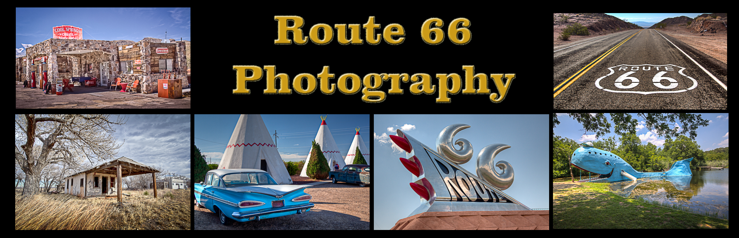
My name is Greg Disch and I am a freelance photographer with a passion for taking photos of Route 66. I have been photographing Route 66 for the past several years and have accumulated one of the largest collections of contemporary Route 66 photography. My images are all available online for immediate sale and download or may be ordered as photographic prints. If you need photos from Route 66, or just want to take a virtual tour of the “Mother Road” you can travel from town to town using the interactive map or search by subject.
Interactive Google Map
Use the map + – controls to zoom in and out, use the Map drop-down to change to “Map”, “Satellite”, “Hybrid”, or “Terrain” views. Drag the little man icon from the upper left corner to a map location for street level view. Click on a pushpin for more information about the Photographic Destination, then click on the title to go to the location page.