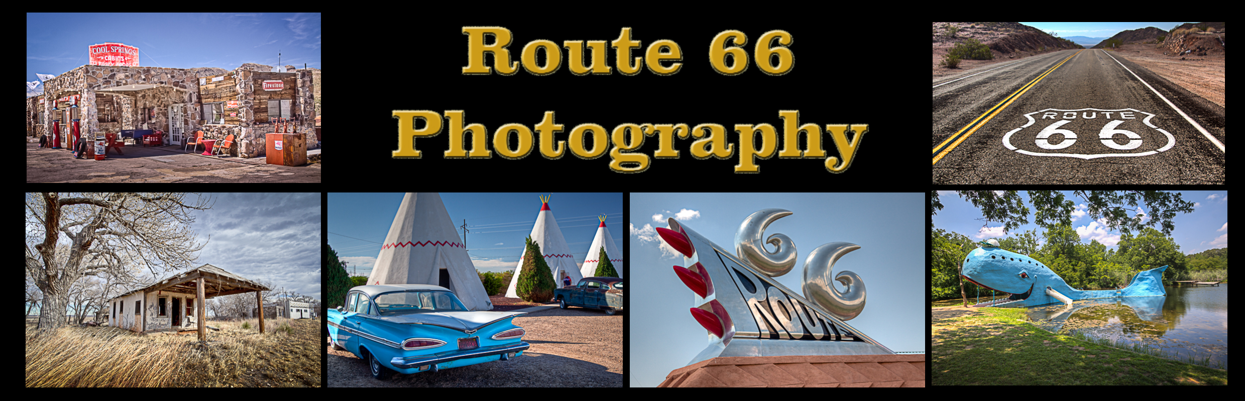
Sapulpa Oklahoma Route 66 Photography
The county seat of Creek County, Sapulpa is situated approximately twelve miles southwest of Tulsa along Interstate 44. State Highways 33 and 97 and Historic Route 66 also lead travelers to Sapulpa. The town is named for “Chief” James Sapulpa, a full-blood Lower Creek from Alabama, who came to Indian Territory and around 1850 established a trading post about one mile southeast of the present community.
Attractions include the Waite Phillips Filling Station Museum was built in 1923. The building has been restored by the Sapulpa Historical Society and is currently used as a museum. The museum houses automobiles from the 1920s and is located one block off historic Route 66.
Located along historic Route 66, The Teepee Drive-In was built on the outskirts of Tulsa in 1950 with a capacity of 400 cars. Over its 50 years it has passed through numerous owners and now sits unused and deteriorating.
The Sapulpa Downtown Historic District is this Route 66 town’s commercial core. It encompasses roughly a nine block area in the original town site. Over ninety percent of the buildings were constructed between 1904 and 1952. Sapulpa began as an important railroad town with a roundhouse, a dispatcher’s office, a Harvey House restaurant, and repair shops antibiotics online shopping and yards for the Frisco Railway.
Sapulpa Oklahoma Route 66 Photo Gallery
Images available for browsing or purchase through PhotoShelter.
- Browse Images

- Create and Save Personal Lightboxes
- Purchase Licensing Rights
- Download High Resolution Files
- Download Personal Use Files
- Order Prints
Sapulpa Oklahoma Route 66 Photo Galleries
My name is Greg Disch and I am a freelance photographer with a passion for taking photos of Route 66. I have been photographing Route 66 for the past several years and have accumulated one of the largest collections of contemporary Route 66 photography. My images are all available online for immediate sale and download or may be ordered as photographic prints. If you need photos from Route 66, or just want to take a virtual tour of the “Mother Road” you can travel from town to town using the interactive map or search by subject.
Interactive Google Map
Use the map + – controls to zoom in and out, use the Map drop-down to change to “Map”, “Satellite”, “Hybrid”, or “Terrain” views. Drag the little man icon from the upper left corner to a map location for street level view. Click on a pushpin for more information about the Photographic Destination, then click on the title to go to the location page.