Quapaw Oklahoma Route 66 Photography
The town was incorporated in 1917 as Quapaw. Discovery of lead and zinc ores in the area resulted in this area being part of the Tri-State mining district, and resulted in a population boom as thousands of miners moved into the larger area. Native Americans were generally excluded from mining, although the county had a significant proportion from several federally recognized tribes. With the population and economic boom, new businesses were developed. The 1920 census listed 1,394 residents. In the 1920s U. S. Route 66 was developed through Quapaw and was paved through Ottawa County by 1933.
Quapaw began to lose residents as the local mining operations began to decline. The population declined to 1,054 by 1940 and as mining activity in the area declined, the population dropped to 850 in 1960.
Today there are many old abandoned buildings lining the street and a good assortment of murals have been painted on many of them.
Quapaw Oklahoma Route 66 Photo Gallery
Images available for browsing or purchase through PhotoShelter.
- Browse Images

- Create and Save Personal Lightboxes
- Purchase Licensing Rights
- Download High Resolution Files
- Download Personal Use Files
- Order Prints
Oklahoma Route 66 Photo Galleries
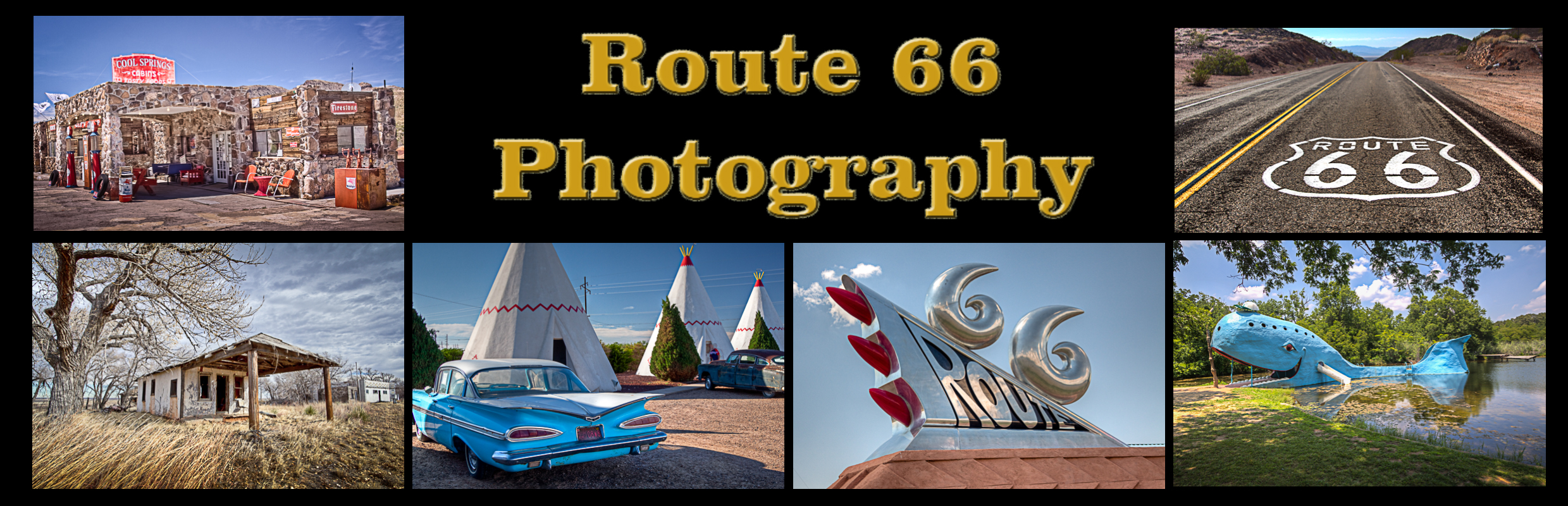
My name is Greg Disch and I am a freelance photographer with a passion for taking photos of Route 66. I have been photographing Route 66 for the past several years and have accumulated one of the largest collections of contemporary Route 66 photography. My images are all available online for immediate sale and download or may be ordered as photographic prints. If you need photos from Route 66, or just want to take a virtual tour of the “Mother Road” you can travel from town to town using the interactive map or search by subject.
Interactive Google Map
Use the map + – controls to zoom in and out, use the Map drop-down to change to “Map”, “Satellite”, “Hybrid”, or “Terrain” views. Drag the little man icon from the upper left corner to a map location for street level view. Click on a pushpin for more information about the Photographic Destination, then click on the title to go to the location page.