Chandler Oklahoma Route 66 Photography
County seat of Lincoln County, Chandler is situated at the intersection of U.S. Highway 66 (Route 66) and Oklahoma Highway 18. The city’s opening was set for September 22, 1891, the same date as the land run that opened the Sac and Fox and Iowa lands to form County A (Lincoln County). However, soldiers blocked the prospective settlers from entering the Chandler townsite, because the survey was not finished. Consequently, Chandler was opened for settlement at noon on September 28, 1891, when gunshots signaled the land opening. Thousands of settlers dashed up the steep hill into the 320-acre townsite for 2,208 free lots. Chandler was purposely located at the geographic center of the county and near a water supply called Indian Spring, now a city park. The post office was established September 21, 1891, and the city named for Assistant Secretary of the Interior George Chandler.
The Phillips 66 Station 1423 is a cottage style gas station opened in 1930 and is typical of the design that the Phillips Petroleum Company used during this time period. It mimics the Tudor Revival style architecture popular in the 1920s with its masonry, steeply pitched gabled roof, high chimneys, and tall windows.
The Chandler Armory, listed in the National Register of Historic Places, was constructed by the Works Progress Administration, and the project provided work for unemployed laborers and stimulated the local economy. The building is an excellent example of WPA architecture and is built of native sandstone. The armory was the home of the Oklahoma National Guard, 45th Infantry Division’s Battery F, Second Battalion of the 160th Field Artillery, which played an important role in North Africa, Sicily, and Italy during World War II. Today, the armory houses the Chandler Route 66 Interpretive Center. Travelers of all ages will delight in the nostalgic trip down “The Mother Road” experienced through videos portraying Oklahoma’s part in the formation of the sights and sounds that are Route 66. Visitors will experience an entertaining “drive” from the 1920’s through current day Oklahoma on what author John Steinbeck called, in his classic novel, The Grapes of Wrath, our “Mother Road,” Route 66.
Chandler Oklahoma Route 66 Photo Gallery
Images available for browsing or purchase through PhotoShelter.
- Browse Images

- Create and Save Personal Lightboxes
- Purchase Licensing Rights
- Download High Resolution Files
- Download Personal Use Files
- Order Prints
Oklahoma Route 66 Photo Galleries
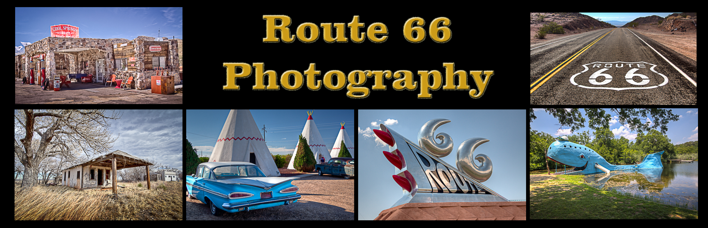
My name is Greg Disch and I am a freelance photographer with a passion for taking photos of Route 66. I have been photographing Route 66 for the past several years and have accumulated one of the largest collections of contemporary Route 66 photography. My images are all available online for immediate sale and download or may be ordered as photographic prints. If you need photos from Route 66, or just want to take a virtual tour of the “Mother Road” you can travel from town to town using the interactive map or search by subject.
Interactive Google Map
Use the map + – controls to zoom in and out, use the Map drop-down to change to “Map”, “Satellite”, “Hybrid”, or “Terrain” views. Drag the little man icon from the upper left corner to a map location for street level view. Click on a pushpin for more information about the Photographic Destination, then click on the title to go to the location page.