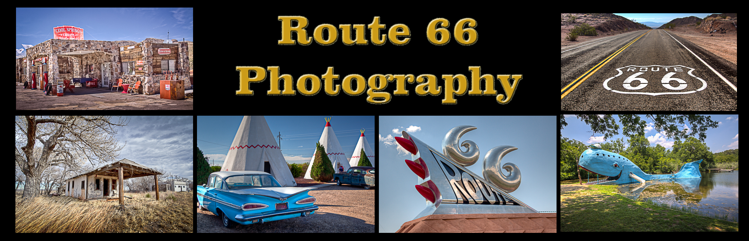
Warwick Oklahoma Route 66 Photography
Located in Lincoln County, Warwick is situated on State Highway 66 eight miles west of Chandler, the county seat. Warwick, named for a county in England, was established by Monarch Investment Company on September 18, 1903, on land homesteaded by David M. and Norah High. A postal service for the area was started October 26, 1892, by J. A. Ramsey, who became Warwick’s first postmaster. The post office closed in December 1972.
The Seaba Station, formerly known as Seaba’s Filling Station and Seaba Engine Rebuilding and Machine Shop, offers travelers an example of an early rural service station along historic Route 66. It also tells the story of commercial adaptation along the ever-changing Mother Road. In 1921, John Seaba constructed the filling station near Warwick along State Highway 7, which was part of the old Ozark Trails network. This already established thoroughfare was simply re-designated U.S. Highway 66 in 1926. Reopened in the summer of 2010, the Seaba Station is now home to a motorcycle museum.
Warwick Oklahoma Route 66 Photo Gallery
Images available for browsing or purchase through PhotoShelter.
- Browse Images

- Create and Save Personal Lightboxes
- Purchase Licensing Rights
- Download High Resolution Files
- Download Personal Use Files
- Order Prints
Oklahoma Route 66 Photo Galleries
My name is Greg Disch and I am a freelance photographer with a passion for taking photos of Route 66. I have been photographing Route 66 for the past several years and have accumulated one of the largest collections of contemporary Route 66 photography. My images are all available online for immediate sale and download or may be ordered as photographic prints. If you need photos from Route 66, or just want to take a virtual tour of the “Mother Road” you can travel from town to town using the interactive map or search by subject.
Interactive Google Map
Use the map + – controls to zoom in and out, use the Map drop-down to change to “Map”, “Satellite”, “Hybrid”, or “Terrain” views. Drag the little man icon from the upper left corner to a map location for street level view. Click on a pushpin for more information about the Photographic Destination, then click on the title to go to the location page.