Chelsea Oklahoma Route 66 Photography
In 1881, Chelsea began as a stop on the Atlantic and Pacific Railroad. A post office was established in November 1882. The community incorporated as a town in the Cherokee Nation, Indian Territory, in 1889. The town was surveyed and platted in 1902. The Bank of Chelsea, the first state bank in Indian Territory, began operation in March 1896.
In 1889, a wildcatter named Edward Byrd secured mineral leases from the Cherokee Nation. He drilled his first well near present-day Chelsea in Rogers County in 1890, and found oil at a depth of only 36 feet. His well produced about a half a barrel a day but his efforts were hampered severely by government regulation, inadequate transportation facilities and the lack of a readily accessible market. His Chelsea well is still celebrated as Oklahoma’s first oil well.
Chelsea is also home to the historic old Route 66 Pryor Creek Bridge built in 1926.
Chelsea Oklahoma Route 66 Photo Gallery
Images available for browsing or purchase through PhotoShelter.
- Browse Images

- Create and Save Personal Lightboxes
- Purchase Licensing Rights
- Download High Resolution Files
- Download Personal Use Files
- Order Prints
Oklahoma Route 66 Photo Galleries
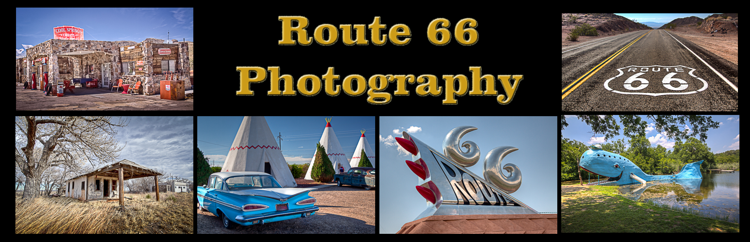
My name is Greg Disch and I am a freelance photographer with a passion for taking photos of Route 66. I have been photographing Route 66 for the past several years and have accumulated one of the largest collections of contemporary Route 66 photography. My images are all available online for immediate sale and download or may be ordered as photographic prints. If you need photos from Route 66, or just want to take a virtual tour of the “Mother Road” you can travel from town to town using the interactive map or search by subject.
Interactive Google Map
Use the map + – controls to zoom in and out, use the Map drop-down to change to “Map”, “Satellite”, “Hybrid”, or “Terrain” views. Drag the little man icon from the upper left corner to a map location for street level view. Click on a pushpin for more information about the Photographic Destination, then click on the title to go to the location page.