Claremore Oklahoma Route 66 Photography
Claremore is known as the home of Will Rogers, a cowboy, a movie star, a pilot, author and newspaper columnist and radio personality. The Will Rogers Memorial Museum and Will Rogers Birthplace Ranch preserve his legacy.
During the drilling of a test oil well in 1903, an artesian mineral water flow was struck and visitors soon arrived to seek the radium water’s supposed healing powers. Claremore was incorporated on May 2, 1903. It was designated the Rogers County seat after 1907 statehood, and the Oklahoma Military Academy was established there in 1919. Construction on the present Rogers County courthouse, a project assisted by the Works Progress Administration (WPA), started in 1937.
The J.M. Davis Arms and Historical Museum houses over 20,000 firearms and firearm related items. The Davis Museum contains guns from all around the world including Kentucky rifles, a Gatling gun, black-powder guns of all types, cannons, rare Colts, Winchesters, elephant, whaling, and outlaw guns.
Claremore Oklahoma Route 66 Photo Gallery
Images available for browsing or purchase through PhotoShelter.
- Browse Images

- Create and Save Personal Lightboxes
- Purchase Licensing Rights
- Download High Resolution Files
- Download Personal Use Files
- Order Prints
Oklahoma Route 66 Photo Galleries
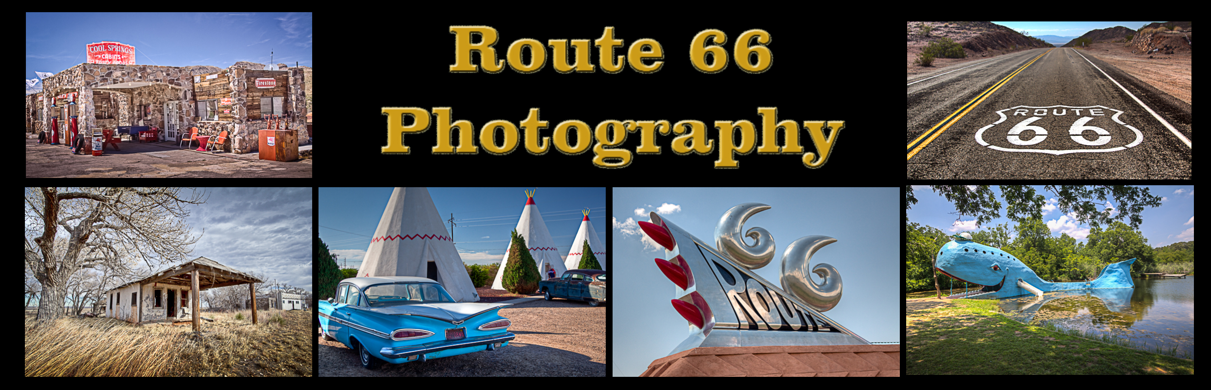
My name is Greg Disch and I am a freelance photographer with a passion for taking photos of Route 66. I have been photographing Route 66 for the past several years and have accumulated one of the largest collections of contemporary Route 66 photography. My images are all available online for immediate sale and download or may be ordered as photographic prints. If you need photos from Route 66, or just want to take a virtual tour of the “Mother Road” you can travel from town to town using the interactive map or search by subject.
Interactive Google Map
Use the map + – controls to zoom in and out, use the Map drop-down to change to “Map”, “Satellite”, “Hybrid”, or “Terrain” views. Drag the little man icon from the upper left corner to a map location for street level view. Click on a pushpin for more information about the Photographic Destination, then click on the title to go to the location page.